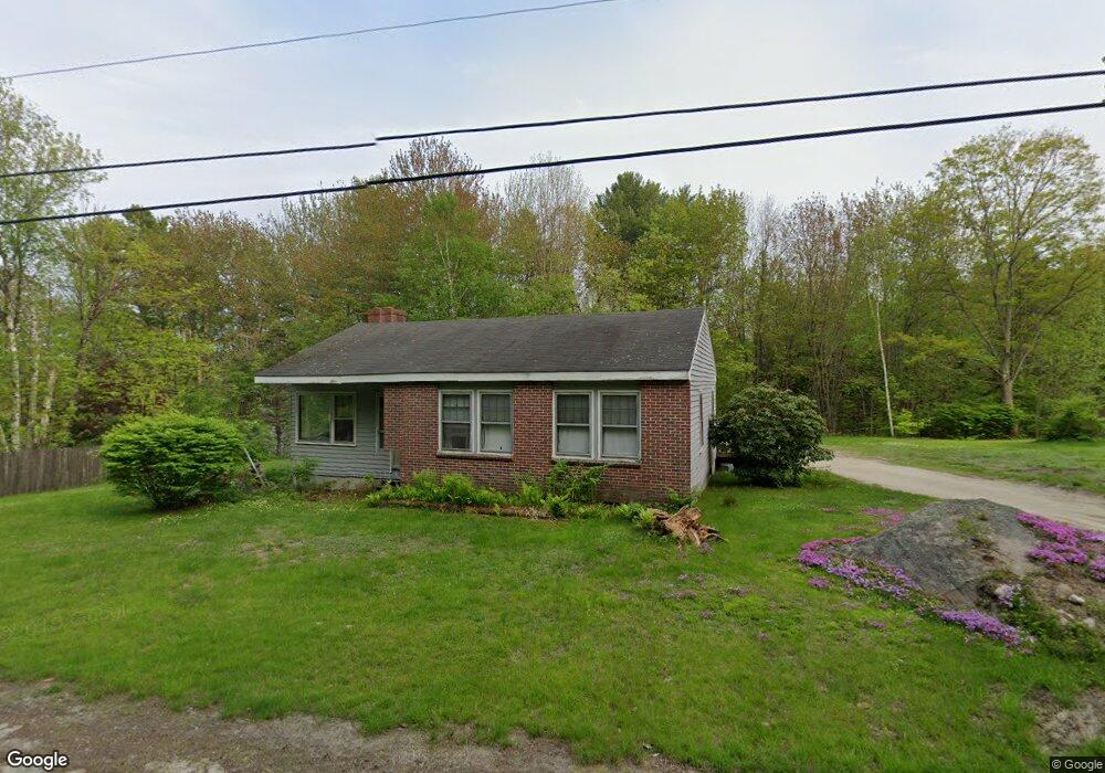
11 Grant Rd Freeport, ME 04032
Estimated Value: $369,000 - $688,000
3
Beds
1
Bath
1,248
Sq Ft
$379/Sq Ft
Est. Value
About This Home
This home is located at 11 Grant Rd, Freeport, ME 04032 and is currently estimated at $472,900, approximately $378 per square foot. 11 Grant Rd is a home with nearby schools including Morse Street School, Mast Landing School, and Freeport Middle School.
Create a Home Valuation Report for This Property
The Home Valuation Report is an in-depth analysis detailing your home's value as well as a comparison with similar homes in the area
Home Values in the Area
Average Home Value in this Area
Tax History
We collect this data history from publicly available records. To have your information removed, we recommend requesting removal directly through your county’s website.
| Year | Tax Paid | Tax Assessment Tax Assessment Total Assessment is a certain percentage of the fair market value that is determined by local assessors to be the total taxable value of land and additions on the property. | Land | Improvement |
|---|---|---|---|---|
| 2025 | $3,730 | $269,300 | $149,600 | $119,700 |
| 2024 | $3,499 | $262,100 | $142,400 | $119,700 |
| 2023 | $3,222 | $234,300 | $129,400 | $104,900 |
| 2022 | $3,038 | $222,600 | $117,700 | $104,900 |
| 2021 | $2,973 | $222,700 | $117,700 | $105,000 |
| 2020 | $2,866 | $204,700 | $109,100 | $95,600 |
| 2019 | $2,747 | $192,100 | $102,900 | $89,200 |
| 2018 | $2,762 | $183,500 | $94,100 | $89,400 |
| 2017 | $2,651 | $177,300 | $92,000 | $85,300 |
| 2016 | $2,624 | $166,100 | $86,900 | $79,200 |
| 2015 | $2,661 | $158,400 | $83,000 | $75,400 |
| 2014 | $2,575 | $163,000 | $83,000 | $80,000 |
| 2013 | $2,560 | $161,500 | $80,100 | $81,400 |
Source: Public Records
Map
Nearby Homes
- 42A Wardtown Rd
- 69 Collinsbrook Rd
- Lot D1 Harmony Ln
- 64 Wardtown Rd
- 24 Autumn Ln
- 40 Smiling Acres Dr
- 21 Curtis Rd
- 17 Curtis Rd
- 690 Old Portland Rd
- 115 Bragdon Rd
- Lot # 1-A Poland Rd
- 16 Piper Farm Rd
- 112 Durham Rd
- 68 Adams Way
- 20 Acorn Ridge Rd
- 80B Durham Rd
- 0 Prout Rd
- 9 Picnic Hill Rd
- 1260 Us Route 1
- 0 Little Fawn Ln
Your Personal Tour Guide
Ask me questions while you tour the home.