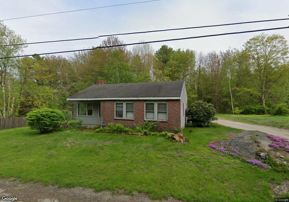
11 Grant Rd Freeport, ME 04032
Estimated Value: $354,000 - $684,000
3
Beds
1
Bath
1,248
Sq Ft
$375/Sq Ft
Est. Value
About This Home
This home is located at 11 Grant Rd, Freeport, ME 04032 and is currently estimated at $468,410, approximately $375 per square foot. 11 Grant Rd is a home with nearby schools including Morse Street School, Mast Landing School, and Freeport Middle School.
Create a Home Valuation Report for This Property
The Home Valuation Report is an in-depth analysis detailing your home's value as well as a comparison with similar homes in the area
Home Values in the Area
Average Home Value in this Area
Tax History
| Year | Tax Paid | Tax Assessment Tax Assessment Total Assessment is a certain percentage of the fair market value that is determined by local assessors to be the total taxable value of land and additions on the property. | Land | Improvement |
|---|---|---|---|---|
| 2025 | $3,730 | $269,300 | $149,600 | $119,700 |
| 2024 | $3,499 | $262,100 | $142,400 | $119,700 |
| 2023 | $3,222 | $234,300 | $129,400 | $104,900 |
| 2022 | $3,038 | $222,600 | $117,700 | $104,900 |
| 2021 | $2,973 | $222,700 | $117,700 | $105,000 |
| 2020 | $2,866 | $204,700 | $109,100 | $95,600 |
| 2019 | $2,747 | $192,100 | $102,900 | $89,200 |
| 2018 | $2,762 | $183,500 | $94,100 | $89,400 |
| 2017 | $2,651 | $177,300 | $92,000 | $85,300 |
| 2016 | $2,624 | $166,100 | $86,900 | $79,200 |
| 2015 | $2,661 | $158,400 | $83,000 | $75,400 |
| 2014 | $2,575 | $163,000 | $83,000 | $80,000 |
| 2013 | $2,560 | $161,500 | $80,100 | $81,400 |
Source: Public Records
Map
Nearby Homes
- 42A Wardtown Rd
- Lot D1 Harmony Ln
- 24 Autumn Ln
- 21 Curtis Rd
- 118 Baker Rd
- 2 Renee Rd
- 162 Durham Rd
- 31 Jackson Blvd
- Lot # 1-A Poland Rd
- 130 Bragdon Rd
- 18 Glenview Rd
- 16 Piper Farm Rd
- 538 Old Portland Rd
- 68 Adams Way
- 23 Compass Rose Rd
- 0 Prout Rd
- 9 Picnic Hill Rd
- 1260 Us Route 1
- 0 Little Fawn Ln
- Map8Lot15E Alder Way
Your Personal Tour Guide
Ask me questions while you tour the home.