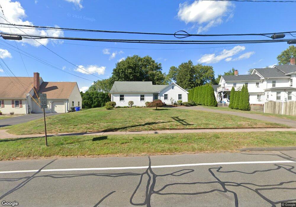
11 Highland St Wethersfield, CT 06109
Estimated Value: $450,000 - $529,000
3
Beds
3
Baths
1,756
Sq Ft
$276/Sq Ft
Est. Value
About This Home
This home is located at 11 Highland St, Wethersfield, CT 06109 and is currently estimated at $484,748, approximately $276 per square foot. 11 Highland St is a home located in Hartford County with nearby schools including Highcrest School, Silas Deane Middle School, and Wethersfield High School.
Ownership History
Date
Name
Owned For
Owner Type
Purchase Details
Closed on
Feb 15, 2024
Sold by
Oconnor Darcy A
Bought by
Darcy Ann Oconnor Lt and Oconnor
Current Estimated Value
Purchase Details
Closed on
Oct 15, 2010
Sold by
Oconnor Brian Michael and Oconnor Darcy A
Bought by
Oconnor Brian Michael and Oconnor Darcy A
Create a Home Valuation Report for This Property
The Home Valuation Report is an in-depth analysis detailing your home's value as well as a comparison with similar homes in the area
Home Values in the Area
Average Home Value in this Area
Purchase History
We collect this data history from publicly available records. To have your information removed, we recommend requesting removal directly through your county’s website.
| Date | Buyer | Sale Price | Title Company |
|---|---|---|---|
| Darcy Ann Oconnor Lt | -- | None Available | |
| Darcy Ann Oconnor Lt | -- | None Available | |
| Oconnor Brian Michael | -- | -- | |
| Oconnor Brian Michael | -- | -- |
Source: Public Records
Mortgage History
We collect this data history from publicly available records. To have your information removed, we recommend requesting removal directly through your county’s website.
| Date | Status | Borrower | Loan Amount |
|---|---|---|---|
| Previous Owner | Oconnor Brian Michael | $85,000 | |
| Previous Owner | Oconnor Brian Michael | $50,000 | |
| Previous Owner | Oconnor Brian Michael | $153,000 |
Source: Public Records
Tax History
| Year | Tax Paid | Tax Assessment Tax Assessment Total Assessment is a certain percentage of the fair market value that is determined by local assessors to be the total taxable value of land and additions on the property. | Land | Improvement |
|---|---|---|---|---|
| 2025 | $12,263 | $297,500 | $96,670 | $200,830 |
| 2024 | $8,983 | $207,840 | $70,000 | $137,840 |
| 2023 | $8,684 | $207,840 | $70,000 | $137,840 |
| 2022 | $8,538 | $207,840 | $70,000 | $137,840 |
| 2021 | $8,453 | $207,840 | $70,000 | $137,840 |
| 2020 | $8,457 | $207,840 | $70,000 | $137,840 |
| 2019 | $8,467 | $207,840 | $70,000 | $137,840 |
| 2018 | $7,968 | $195,400 | $64,900 | $130,500 |
| 2017 | $7,771 | $195,400 | $64,900 | $130,500 |
| 2016 | $7,531 | $195,400 | $64,900 | $130,500 |
| 2015 | $7,462 | $195,400 | $64,900 | $130,500 |
| 2014 | $7,179 | $195,400 | $64,900 | $130,500 |
Source: Public Records
Map
Nearby Homes
- 152 Surrey Dr
- 80 Grist Mill Rd
- 32 Meadowgate St
- 46 Stonegate Dr
- 46 Kimball Rd
- 748 Maple St
- 75 Barry Place
- 268 Fox Hill Rd
- 76 Collier Rd
- 39 Mountain Laurel Dr
- 101 Collier Rd
- 149 Mill St
- 72 Old Post Rd
- 129 Cloverdale Cir
- 86 Dudley Rd
- 105 Midwell Rd
- 44 Beverly Rd
- 508 Highland St
- 59 Thornbush Rd
- 155 Old Common Rd
- 265 Griswold Rd
- 255 Griswold Rd
- 247 Griswold Rd
- 285 Griswold Rd
- 17 Highland St
- 279 Griswold Rd
- 279 Griswold Rd Unit 2
- 279 Griswold Rd Unit 1
- 264 Griswold Rd
- 272 Griswold Rd
- 254 Griswold Rd
- 18 Old Mill Rd
- 25 Highland St
- 28 Old Mill Rd
- 19 Dorlen Cir
- 239 Griswold Rd
- 20 Highland St
- 4 Dorlen Cir
- 27 Dorlen Cir
- 14 Dorlen Cir
Your Personal Tour Guide
Ask me questions while you tour the home.