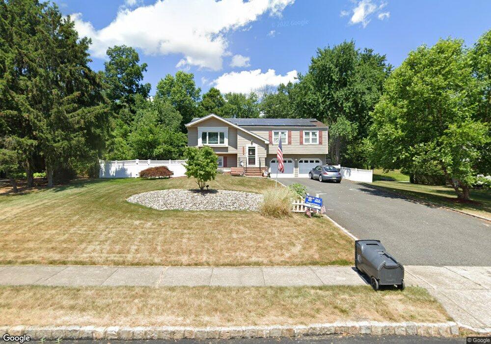
11 Independence Dr Whippany, NJ 07981
Estimated Value: $743,388 - $901,000
Studio
--
Bath
2,049
Sq Ft
$402/Sq Ft
Est. Value
About This Home
This home is located at 11 Independence Dr, Whippany, NJ 07981 and is currently estimated at $823,347, approximately $401 per square foot. 11 Independence Dr is a home located in Morris County with nearby schools including Whippany Park High School, Arrow Academy, and Allegro School.
Ownership History
Date
Name
Owned For
Owner Type
Purchase Details
Closed on
Dec 27, 2012
Sold by
Johnston Kimberly Ann and Johnston Robert John
Bought by
Landers Kimberly A and Landers James B
Current Estimated Value
Purchase Details
Closed on
Oct 18, 2004
Sold by
Passerini Maryanne
Bought by
Johnston Kimberly Ann and Johnston Ronert
Home Financials for this Owner
Home Financials are based on the most recent Mortgage that was taken out on this home.
Original Mortgage
$262,000
Interest Rate
5.8%
Create a Home Valuation Report for This Property
The Home Valuation Report is an in-depth analysis detailing your home's value as well as a comparison with similar homes in the area
Home Values in the Area
Average Home Value in this Area
Purchase History
We collect this data history from publicly available records. To have your information removed, we recommend requesting removal directly through your county’s website.
| Date | Buyer | Sale Price | Title Company |
|---|---|---|---|
| Landers Kimberly A | -- | None Available | |
| Johnston Kimberly Ann | $489,000 | -- |
Source: Public Records
Mortgage History
We collect this data history from publicly available records. To have your information removed, we recommend requesting removal directly through your county’s website.
| Date | Status | Borrower | Loan Amount |
|---|---|---|---|
| Previous Owner | Johnston Kimberly Ann | $262,000 |
Source: Public Records
Tax History
| Year | Tax Paid | Tax Assessment Tax Assessment Total Assessment is a certain percentage of the fair market value that is determined by local assessors to be the total taxable value of land and additions on the property. | Land | Improvement |
|---|---|---|---|---|
| 2025 | $9,121 | $432,700 | $242,100 | $190,600 |
| 2024 | $9,082 | $432,700 | $242,100 | $190,600 |
| 2023 | $9,082 | $432,700 | $242,100 | $190,600 |
| 2022 | $8,308 | $432,700 | $242,100 | $190,600 |
| 2021 | $8,308 | $432,700 | $242,100 | $190,600 |
| 2020 | $8,161 | $432,700 | $242,100 | $190,600 |
| 2019 | $8,187 | $432,700 | $242,100 | $190,600 |
| 2018 | $8,044 | $432,700 | $242,100 | $190,600 |
| 2017 | $7,806 | $432,700 | $242,100 | $190,600 |
| 2016 | $7,693 | $432,700 | $242,100 | $190,600 |
| 2015 | $7,386 | $432,700 | $242,100 | $190,600 |
| 2014 | $7,226 | $432,700 | $242,100 | $190,600 |
Source: Public Records
Map
Nearby Homes
- 30 Crescent Dr
- 4 Hamilton Ct
- 39 Deerfield Rd
- 102 Appleton Way
- 2009 Vermont Terrace Unit 2009
- 96 Parsippany Rd
- 22 Harriet Dr
- 118 Parsippany Rd
- 125 Park Ave
- 909 Brook Hollow Dr Unit 909
- 141 Park Ave
- 15 Maxine Dr
- 25 Washington Ave
- 11 Lee Dr
- 11 Manchester Dr
- 12 Baird Place
- 114 Sunrise Dr
- 92 Louis St
- 125 Sunrise Dr Unit 1307
- 11 Powder Horn Dr
- 15 Independence Dr
- 9 Independence Dr
- 17 Independence Dr
- 7 Independence Dr
- 12 Independence Dr
- 10 Independence Dr
- 2 Bunker Hill Place
- 8 Independence Dr
- 19 Independence Dr
- 5 Independence Dr
- 6 Independence Dr
- 4 Bunker Hill Place
- 9 Concord Rd
- 11 Concord Rd
- 21 Independence Dr
- 7 Concord Rd
- 3 Independence Dr
- 4 Independence Dr
- 47 E Fairchild Place
- 1 Bunker Hill Place
Your Personal Tour Guide
Ask me questions while you tour the home.