11 Independence Dr Woburn, MA 01801
Cummingsville NeighborhoodEstimated Value: $884,000 - $935,000
About This Home
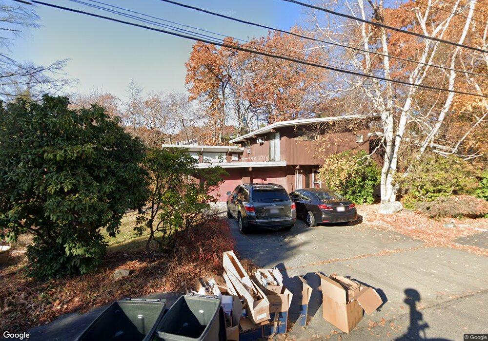
This home is located at 11 Independence Dr, Woburn, MA 01801 and is currently estimated at $909,633, approximately $520 per square foot. 11 Independence Dr is a home located in Middlesex County with nearby schools including Reeves Elementary School, Daniel L. Joyce Middle School, and Woburn High School.
Ownership History
We collect this data history from publicly available records. To have your information removed, we recommend requesting removal directly through your county’s website.
Purchase Details
Home Financials for this Owner
Home Financials are based on the most recent Mortgage that was taken out on this home.Home Values in the Area
Average Home Value in this Area
Purchase History
We collect this data history from publicly available records. To have your information removed, we recommend requesting removal directly through your county’s website.
| Date | Buyer | Sale Price | Title Company |
|---|---|---|---|
| $460,000 | -- | ||
| $460,000 | -- |
Mortgage History
We collect this data history from publicly available records. To have your information removed, we recommend requesting removal directly through your county’s website.
| Date | Status | Borrower | Loan Amount |
|---|---|---|---|
| Open | $310,000 | ||
| Closed | $80,250 | ||
| Previous Owner | $100,000 |
Tax History
We collect this data history from publicly available records. To have your information removed, we recommend requesting removal directly through your county’s website.
| Year | Tax Paid | Tax Assessment Tax Assessment Total Assessment is a certain percentage of the fair market value that is determined by local assessors to be the total taxable value of land and additions on the property. | Land | Improvement |
|---|---|---|---|---|
| 2025 | $6,718 | $786,700 | $387,100 | $399,600 |
| 2024 | $6,063 | $752,200 | $368,800 | $383,400 |
| 2023 | $5,842 | $671,500 | $335,300 | $336,200 |
| 2022 | $5,494 | $588,200 | $291,900 | $296,300 |
| 2021 | $5,190 | $556,300 | $278,100 | $278,200 |
| 2020 | $5,083 | $545,400 | $278,100 | $267,300 |
| 2019 | $4,959 | $522,000 | $265,000 | $257,000 |
| 2018 | $4,825 | $487,900 | $243,300 | $244,600 |
| 2017 | $4,603 | $463,100 | $231,800 | $231,300 |
| 2016 | $4,389 | $436,700 | $216,800 | $219,900 |
| 2015 | $4,221 | $415,000 | $202,700 | $212,300 |
| 2014 | $4,167 | $399,100 | $202,700 | $196,400 |
Map
- 14 Otis St
- 192 Lexington St
- 5 Vine Brook Way
- 23 Day Cir
- 32 Hammond Place Unit 32
- 268 Lexington St
- 47 Willow St
- 14 Belmont Rd
- 14 Liana St
- 7 Liana St
- 31 Hiawatha Rd
- 27 Samoset Rd
- 41 Fairway Dr
- 2 Cpl Charles J McMahon Dr
- 38 Waltham St
- 3B Reserve Way Unit 3B
- 343 Lexington St
- 270 Cambridge Rd
- 273 Cambridge Rd Unit 205
- 273 Cambridge Rd Unit 508
- 13 Independence Dr
- 2 Patriot Cir
- 4 Patriot Rd
- 7 Independence Dr
- 4 Patriot Cir
- 10 Independence Dr
- 8 Independence Dr
- 15 Independence Dr
- 12 Independence Dr
- 6 Independence Dr
- 17 Independence Dr
- 14 Independence Dr
- 14 Whispering Hill Rd
- 2 Dawes Cir
- 41 Independence Dr
- 19 Independence Dr
- 1 Patriot Cir
- 3 Patriot Cir
- 4 Independence Dr
- 15 Whispering Hill Rd
Ask me questions while you tour the home.