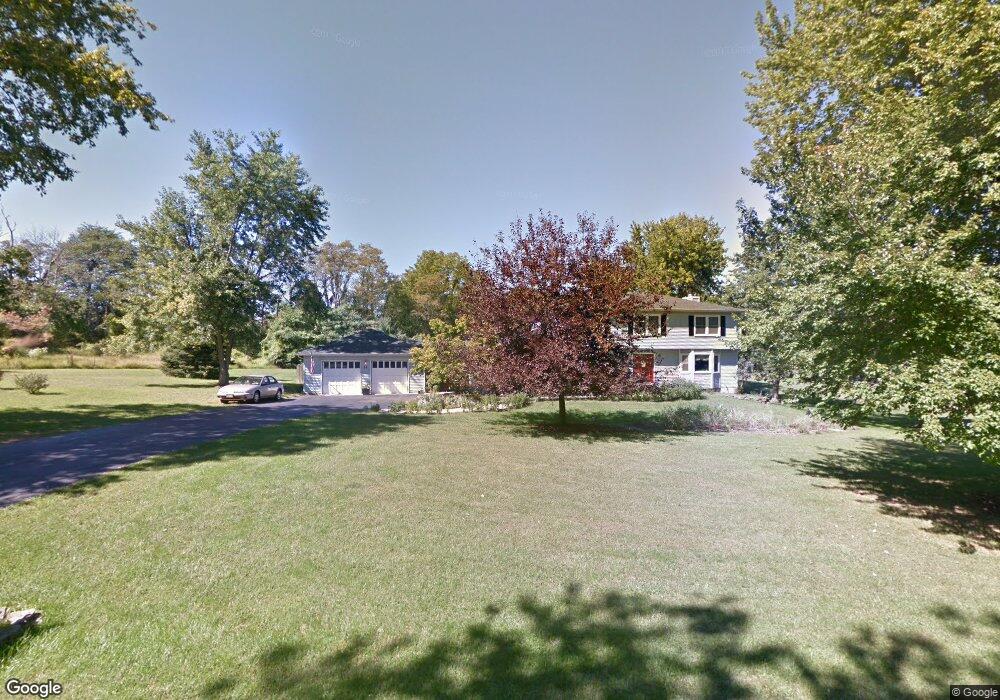
11 Jacob Dr Millstone Township, NJ 08535
Estimated Value: $878,000 - $1,054,000
4
Beds
3
Baths
3,146
Sq Ft
$312/Sq Ft
Est. Value
About This Home
This home is located at 11 Jacob Dr, Millstone Township, NJ 08535 and is currently estimated at $980,314, approximately $311 per square foot. 11 Jacob Dr is a home located in Monmouth County with nearby schools including Millstone Township Primary School, Millstone Township Elementary School, and Millstone Township Middle School.
Ownership History
Date
Name
Owned For
Owner Type
Purchase Details
Closed on
May 26, 2009
Sold by
Berry Thomas W and Randolph Lauren
Bought by
Rears William J and Rears Elizabeth B
Current Estimated Value
Home Financials for this Owner
Home Financials are based on the most recent Mortgage that was taken out on this home.
Original Mortgage
$388,000
Outstanding Balance
$245,936
Interest Rate
4.83%
Mortgage Type
Purchase Money Mortgage
Estimated Equity
$734,378
Purchase Details
Closed on
Nov 12, 1997
Sold by
Broschart Stephen
Bought by
Berry Thomas and Randolph Lauren
Home Financials for this Owner
Home Financials are based on the most recent Mortgage that was taken out on this home.
Original Mortgage
$212,000
Interest Rate
7.28%
Purchase Details
Closed on
Oct 28, 1994
Sold by
Wolk Jeffrey
Bought by
Broschart Stephen and Broschart Barbara
Home Financials for this Owner
Home Financials are based on the most recent Mortgage that was taken out on this home.
Original Mortgage
$188,000
Interest Rate
8.71%
Create a Home Valuation Report for This Property
The Home Valuation Report is an in-depth analysis detailing your home's value as well as a comparison with similar homes in the area
Home Values in the Area
Average Home Value in this Area
Purchase History
We collect this data history from publicly available records. To have your information removed, we recommend requesting removal directly through your county’s website.
| Date | Buyer | Sale Price | Title Company |
|---|---|---|---|
| Rears William J | $485,000 | Consolidated Title Group Llc | |
| Berry Thomas | $265,000 | -- | |
| Broschart Stephen | $270,000 | -- |
Source: Public Records
Mortgage History
We collect this data history from publicly available records. To have your information removed, we recommend requesting removal directly through your county’s website.
| Date | Status | Borrower | Loan Amount |
|---|---|---|---|
| Open | Rears William J | $388,000 | |
| Previous Owner | Berry Thomas | $212,000 | |
| Previous Owner | Broschart Stephen | $188,000 |
Source: Public Records
Tax History
| Year | Tax Paid | Tax Assessment Tax Assessment Total Assessment is a certain percentage of the fair market value that is determined by local assessors to be the total taxable value of land and additions on the property. | Land | Improvement |
|---|---|---|---|---|
| 2025 | $11,678 | $582,900 | $153,000 | $429,900 |
| 2024 | $12,117 | $487,600 | $164,000 | $323,600 |
| 2023 | $12,117 | $487,600 | $164,000 | $323,600 |
| 2022 | $11,771 | $487,600 | $164,000 | $323,600 |
| 2021 | $11,639 | $487,600 | $164,000 | $323,600 |
| 2020 | $11,639 | $487,600 | $164,000 | $323,600 |
| 2019 | $11,420 | $487,600 | $164,000 | $323,600 |
| 2018 | $11,137 | $487,600 | $164,000 | $323,600 |
| 2017 | $11,088 | $487,600 | $164,000 | $323,600 |
| 2016 | $11,005 | $487,600 | $164,000 | $323,600 |
| 2015 | $10,828 | $456,100 | $164,000 | $292,100 |
| 2014 | $10,714 | $411,900 | $149,000 | $262,900 |
Source: Public Records
Map
Nearby Homes
- 10 Hannah Mount Dr
- 37 Robbins Rd
- 37 Robbins Rd S
- 9 Sugar Loaf Hill
- 13 Sugar Loaf Hill
- 370 Millstone Rd
- 78 Rising Sun Tavern Rd
- 2 Agress Rd
- 5 Bowman Ct
- 104 Back Bone Hill Rd
- 460 Stagecoach Rd
- 447 Stagecoach Rd
- 16 Molsbury Ln
- 76 Back Bone Hill Rd
- 3 Scotto Dr
- 7 Cuomo Ct
- 12 Pine Dr
- 4 Hampton Hollow Dr
- 4 Cuomo Ct
- 5 Holdman Place
Your Personal Tour Guide
Ask me questions while you tour the home.