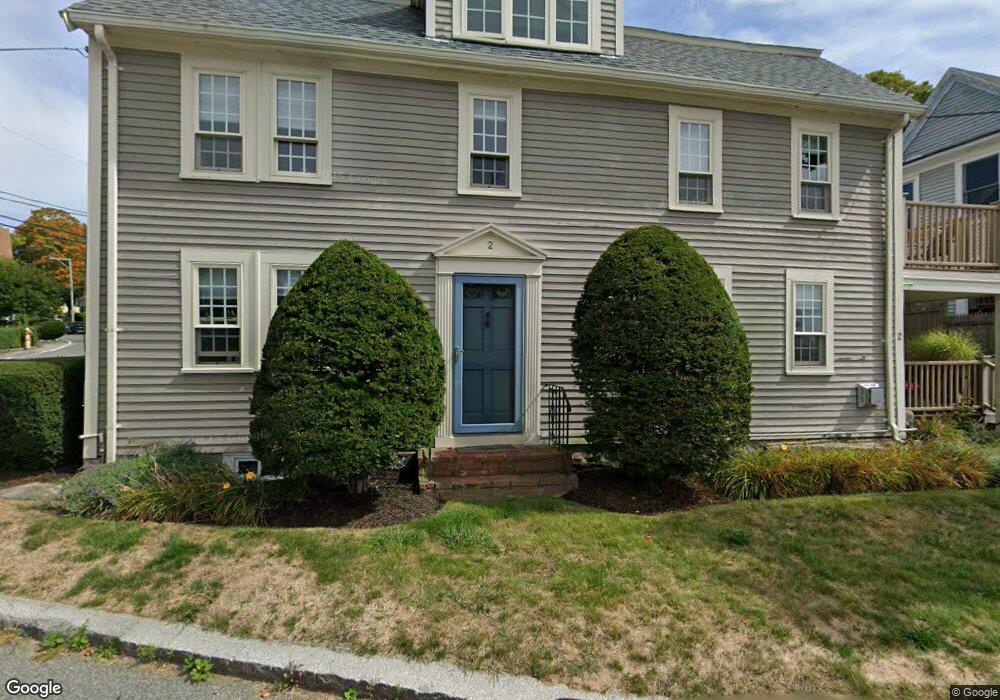
11 Leonard St Gloucester, MA 01930
Annisquam NeighborhoodEstimated Value: $947,000 - $1,107,859
3
Beds
2
Baths
2,081
Sq Ft
$490/Sq Ft
Est. Value
About This Home
This home is located at 11 Leonard St, Gloucester, MA 01930 and is currently estimated at $1,020,715, approximately $490 per square foot. 11 Leonard St is a home located in Essex County with nearby schools including Plum Cove School, Ralph B O'maley Middle School, and Gloucester High School.
Ownership History
Date
Name
Owned For
Owner Type
Purchase Details
Closed on
Oct 1, 2004
Sold by
Fairfield Gail P
Bought by
Stone William P and Stone Ellen E
Current Estimated Value
Home Financials for this Owner
Home Financials are based on the most recent Mortgage that was taken out on this home.
Original Mortgage
$635,000
Interest Rate
5.81%
Mortgage Type
Purchase Money Mortgage
Create a Home Valuation Report for This Property
The Home Valuation Report is an in-depth analysis detailing your home's value as well as a comparison with similar homes in the area
Home Values in the Area
Average Home Value in this Area
Purchase History
| Date | Buyer | Sale Price | Title Company |
|---|---|---|---|
| Stone William P | $675,000 | -- |
Source: Public Records
Mortgage History
| Date | Status | Borrower | Loan Amount |
|---|---|---|---|
| Open | Stone William P | $500,000 | |
| Closed | Stone William P | $635,000 |
Source: Public Records
Tax History
| Year | Tax Paid | Tax Assessment Tax Assessment Total Assessment is a certain percentage of the fair market value that is determined by local assessors to be the total taxable value of land and additions on the property. | Land | Improvement |
|---|---|---|---|---|
| 2025 | $10,575 | $1,088,000 | $0 | $1,088,000 |
| 2024 | $10,401 | $1,069,000 | $0 | $1,069,000 |
| 2023 | $9,962 | $940,700 | $0 | $940,700 |
| 2022 | $9,981 | $850,900 | $0 | $850,900 |
| 2021 | $9,947 | $799,600 | $0 | $799,600 |
| 2020 | $9,859 | $799,600 | $0 | $799,600 |
| 2019 | $9,387 | $739,700 | $0 | $739,700 |
| 2018 | $8,847 | $684,200 | $0 | $684,200 |
| 2017 | $8,348 | $632,900 | $0 | $632,900 |
| 2016 | $7,914 | $581,500 | $0 | $581,500 |
| 2015 | $7,671 | $562,000 | $0 | $562,000 |
Source: Public Records
Map
Nearby Homes
- 672 Washington St
- 136 Leonard St
- 2 Breezy Point Rd
- 226 Atlantic St
- 178 Atlantic St
- 167 Atlantic St
- 4 Ciaramitaro Ct
- 7 Colburn St
- 13 Honeysuckle Rd
- 31 Echo Ave
- 9 Hickory St
- 1030 Washington St
- 43 High St Unit B
- 117 Bray St
- 3 Rockland St
- 8 Mystic Ave
- 6 Monroe Ct
- 98 Maplewood Ave
- 5 Viking St Unit A
- 12 Arthur St
Your Personal Tour Guide
Ask me questions while you tour the home.