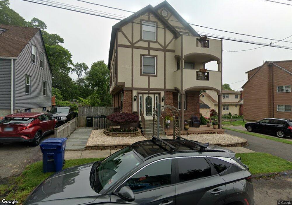
11 Maple Rd West Haven, CT 06516
West Shore NeighborhoodEstimated Value: $421,000 - $839,000
5
Beds
5
Baths
2,890
Sq Ft
$229/Sq Ft
Est. Value
About This Home
This home is located at 11 Maple Rd, West Haven, CT 06516 and is currently estimated at $660,514, approximately $228 per square foot. 11 Maple Rd is a home located in New Haven County with nearby schools including Carrigan 5/6 Intermediate School, Harry M. Bailey Middle School, and West Haven High School.
Ownership History
Date
Name
Owned For
Owner Type
Purchase Details
Closed on
Aug 6, 2015
Sold by
Weir Wanda
Bought by
Weir Wanda
Current Estimated Value
Home Financials for this Owner
Home Financials are based on the most recent Mortgage that was taken out on this home.
Original Mortgage
$233,800
Outstanding Balance
$180,841
Interest Rate
4.03%
Mortgage Type
New Conventional
Estimated Equity
$479,673
Purchase Details
Closed on
Aug 5, 1999
Sold by
Arce Steven J and Arce Donna
Bought by
Weir Sean and Weir Wendy
Create a Home Valuation Report for This Property
The Home Valuation Report is an in-depth analysis detailing your home's value as well as a comparison with similar homes in the area
Home Values in the Area
Average Home Value in this Area
Purchase History
| Date | Buyer | Sale Price | Title Company |
|---|---|---|---|
| Weir Wanda | -- | -- | |
| Weir Sean | $112,000 | -- | |
| Weir Wanda | -- | -- | |
| Weir Sean | $112,000 | -- |
Source: Public Records
Mortgage History
| Date | Status | Borrower | Loan Amount |
|---|---|---|---|
| Open | Weir Sean | $233,800 | |
| Previous Owner | Weir Sean | $258,000 | |
| Previous Owner | Weir Sean | $260,000 |
Source: Public Records
Tax History
| Year | Tax Paid | Tax Assessment Tax Assessment Total Assessment is a certain percentage of the fair market value that is determined by local assessors to be the total taxable value of land and additions on the property. | Land | Improvement |
|---|---|---|---|---|
| 2025 | $13,499 | $410,690 | $115,500 | $295,190 |
| 2024 | $12,898 | $275,240 | $80,010 | $195,230 |
| 2023 | $12,413 | $275,240 | $80,010 | $195,230 |
| 2022 | $12,190 | $275,240 | $80,010 | $195,230 |
| 2021 | $12,190 | $275,240 | $80,010 | $195,230 |
| 2020 | $11,974 | $246,330 | $72,730 | $173,600 |
| 2019 | $11,592 | $246,330 | $72,730 | $173,600 |
| 2018 | $11,427 | $246,330 | $72,730 | $173,600 |
| 2017 | $11,119 | $246,330 | $72,730 | $173,600 |
| 2016 | $10,996 | $246,330 | $72,730 | $173,600 |
| 2015 | $11,926 | $299,040 | $73,290 | $225,750 |
| 2014 | -- | $299,040 | $73,290 | $225,750 |
Source: Public Records
Map
Nearby Homes
- 206 Highland Ave
- 41 Grove Place
- 45 Arlington St
- 99 Roosevelt Ave
- 118 Arlington St
- 920 Ocean Ave Unit E1
- 74 Wilson Ave
- 18 Albion Ave
- 19 Harding Ave
- 22 Parker Ave
- 49 Seaview Ave
- 16 Sorensen Rd
- 330 Savin Ave Unit 76
- 330 Savin Ave Unit 18
- 461R Ocean Ave
- 292 Richmond Ave
- 32 West Walk
- 110 Bellevue Ave
- 430 Blohm St
- 6 Mount Pleasant Rd
Your Personal Tour Guide
Ask me questions while you tour the home.