11 Perkins Rd Pembroke, MA 02359
Estimated Value: $553,000 - $634,000
About This Home
This home is located at 11 Perkins Rd, Pembroke, MA 02359 and is currently estimated at $583,741, approximately $374 per square foot. 11 Perkins Rd is a home located in Plymouth County with nearby schools including Pembroke High School.
Ownership History
We collect this data history from publicly available records. To have your information removed, we recommend requesting removal directly through your county’s website.
Purchase Details
Purchase History
We collect this data history from publicly available records. To have your information removed, we recommend requesting removal directly through your county’s website.
| Date | Buyer | Sale Price | Title Company |
|---|---|---|---|
| $6,000 | -- |
Mortgage History
We collect this data history from publicly available records. To have your information removed, we recommend requesting removal directly through your county’s website.
| Date | Status | Borrower | Loan Amount |
|---|---|---|---|
| Open | $60,000 | ||
| Closed | $180,000 | ||
| Closed | $100,000 | ||
| Closed | $90,000 | ||
| Closed | $140,000 | ||
| Closed | $30,000 | ||
| Closed | $100,000 | ||
| Closed | $20,000 |
Tax History
We collect this data history from publicly available records. To have your information removed, we recommend requesting removal directly through your county’s website.
| Year | Tax Paid | Tax Assessment Tax Assessment Total Assessment is a certain percentage of the fair market value that is determined by local assessors to be the total taxable value of land and additions on the property. | Land | Improvement |
|---|---|---|---|---|
| 2025 | $5,511 | $458,500 | $248,500 | $210,000 |
| 2024 | $5,211 | $433,200 | $223,600 | $209,600 |
| 2023 | $5,356 | $421,100 | $223,600 | $197,500 |
| 2022 | $5,074 | $358,600 | $183,000 | $175,600 |
| 2021 | $4,962 | $340,300 | $174,500 | $165,800 |
| 2020 | $4,832 | $333,500 | $166,700 | $166,800 |
| 2019 | $4,657 | $319,000 | $162,500 | $156,500 |
| 2018 | $4,334 | $291,100 | $143,500 | $147,600 |
| 2017 | $4,299 | $284,700 | $135,800 | $148,900 |
| 2016 | $4,233 | $277,400 | $128,000 | $149,400 |
| 2015 | $3,890 | $263,900 | $116,300 | $147,600 |
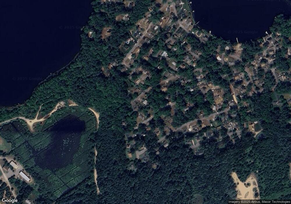
Map
- 17 E Boundary Rd
- 10 Beach Rd
- 14 Ames Way
- 23 Cranberry Rd
- 610 Center St
- 66 Mill St
- 17 Woodbine Ave
- 552 Mattakeesett St
- 136 Elmer St
- 155 Elmer St
- 9 Pondview Ave
- 290 Center St
- 290 Center St Unit 2
- 29 Andrew Dr
- 158 Bay State Cir
- 56 Wildwood Rd
- 9 Liberty Dr Unit 9
- 204 Center St Unit 9
- 25 Roller Coaster Rd
- 254 Lakeside Rd
Ask me questions while you tour the home.