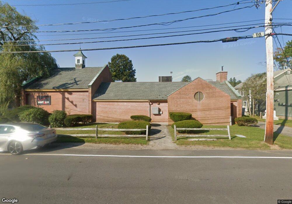
11 Perry Ave Bourne, MA 2532
Buzzards Bay Neighborhood
Studio
--
Bath
4,922
Sq Ft
16,727
Sq Ft Lot
About This Home
This home is located at 11 Perry Ave, Bourne, MA 2532. 11 Perry Ave is a home located in Barnstable County with nearby schools including Bourne High School and St Margaret Regional School.
Create a Home Valuation Report for This Property
The Home Valuation Report is an in-depth analysis detailing your home's value as well as a comparison with similar homes in the area
Home Values in the Area
Average Home Value in this Area
Tax History
| Year | Tax Paid | Tax Assessment Tax Assessment Total Assessment is a certain percentage of the fair market value that is determined by local assessors to be the total taxable value of land and additions on the property. | Land | Improvement |
|---|---|---|---|---|
| 2025 | $6,130 | $784,900 | $254,200 | $530,700 |
| 2024 | $5,996 | $747,600 | $242,100 | $505,500 |
| 2023 | $6,334 | $718,900 | $232,800 | $486,100 |
| 2022 | $6,551 | $649,300 | $218,900 | $430,400 |
| 2021 | $6,768 | $628,400 | $212,500 | $415,900 |
| 2020 | $6,634 | $617,700 | $208,300 | $409,400 |
| 2019 | $6,305 | $599,900 | $204,200 | $395,700 |
| 2018 | $6,046 | $573,600 | $196,400 | $377,200 |
| 2017 | $5,894 | $572,200 | $183,000 | $389,200 |
| 2016 | $5,814 | $572,200 | $183,000 | $389,200 |
| 2015 | $5,762 | $572,200 | $183,000 | $389,200 |
Source: Public Records
Map
Nearby Homes
- 46 Holt Rd Unit A
- 0 Holt Rd
- 38 Old Bridge Rd
- 9 Harrison Ave
- 58 Maple St
- 20 Alderberry Rd
- 6 Honora Ln
- 5 Honora Ln Unit 5
- 5 Honora Ln
- 3 Honora Ln Unit 3
- 151 - 153 Main St
- 33 Head of The Bay Rd
- 6 Wall St
- 50 Head of The Bay Rd
- 60 Sandwich Rd
- 40-A Lafayette Ave
- 14 Quamhassett Rd
- 34 Washington Ave
- 44 Cotuit Rd
- 9 Fabyan Way
- 7 Perry Ave
- 19 Perry Ave
- 8 Perry Ave
- 8A Perry Ave
- 8-A Perry Ave
- 240 Main St
- 20 Perry Ave
- 236 Main St
- 6 Perry Ave
- 20 Perry Ave
- 6 Perry Ave
- 21 Perry Ave
- 21 Perry Ave
- 246 Main St
- 281 Franklin St Unit 503
- 281 Franklin St Unit 402
- 281 Franklin St Unit 301
- 58 Saxton St Unit 2
- 16 Linley Unit 1
- 1430 Columbia Rd Unit 1
Your Personal Tour Guide
Ask me questions while you tour the home.