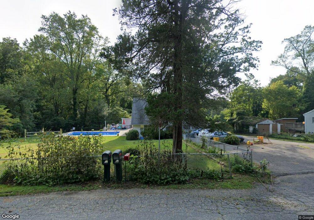
11 Severn Dr Annapolis, MD 21401
Parole NeighborhoodEstimated Value: $486,115 - $684,000
Studio
2
Baths
1,680
Sq Ft
$344/Sq Ft
Est. Value
About This Home
This home is located at 11 Severn Dr, Annapolis, MD 21401 and is currently estimated at $578,529, approximately $344 per square foot. 11 Severn Dr is a home located in Anne Arundel County with nearby schools including Rolling Knolls Elementary School, Wiley H. Bates Middle School, and Annapolis High School.
Ownership History
Date
Name
Owned For
Owner Type
Purchase Details
Closed on
Apr 27, 2017
Bought by
Drake Patricia
Current Estimated Value
Home Financials for this Owner
Home Financials are based on the most recent Mortgage that was taken out on this home.
Original Mortgage
$372,433
Outstanding Balance
$309,128
Interest Rate
4.03%
Estimated Equity
$269,401
Create a Home Valuation Report for This Property
The Home Valuation Report is an in-depth analysis detailing your home's value as well as a comparison with similar homes in the area
Home Values in the Area
Average Home Value in this Area
Purchase History
| Date | Buyer | Sale Price | Title Company |
|---|---|---|---|
| Drake Patricia | -- | -- |
Source: Public Records
Mortgage History
| Date | Status | Borrower | Loan Amount |
|---|---|---|---|
| Open | Drake Patricia | $372,433 | |
| Closed | Drake Patricia | -- |
Source: Public Records
Tax History
| Year | Tax Paid | Tax Assessment Tax Assessment Total Assessment is a certain percentage of the fair market value that is determined by local assessors to be the total taxable value of land and additions on the property. | Land | Improvement |
|---|---|---|---|---|
| 2025 | $1,817 | $422,500 | $308,200 | $114,300 |
| 2024 | $1,817 | $379,633 | $0 | $0 |
| 2023 | $3,922 | $336,767 | $0 | $0 |
| 2022 | $1,720 | $293,900 | $218,200 | $75,700 |
| 2021 | $7 | $280,433 | $0 | $0 |
| 2020 | $1,582 | $266,967 | $0 | $0 |
| 2019 | $1,517 | $253,500 | $170,200 | $83,300 |
| 2018 | $2,570 | $253,500 | $170,200 | $83,300 |
| 2017 | $1,398 | $253,500 | $0 | $0 |
| 2016 | -- | $400,600 | $0 | $0 |
| 2015 | -- | $362,000 | $0 | $0 |
| 2014 | -- | $323,400 | $0 | $0 |
Source: Public Records
Map
Nearby Homes
- 2321 Hickory Rd
- 1840 Shore Dr
- 1812 Shore Dr
- 20 Washington Dr
- 553 Choptank Cove Ct
- 668 N Bestgate Rd
- 68 Harbour Heights Dr
- 2001 Warners Terrace N Unit 102
- 2002 Phillips Terrace Unit 6
- 86 Harbour Heights Dr
- 508 Epping Forest Rd
- 12 Harbour Heights Dr
- 2013 Warners Terrace S Unit 138
- 2013 Warners Terrace S Unit 242
- 2161 Scotts Crossing Ct Unit 30
- 349 Epping Way
- 2159 Scotts Crossing Ct Unit 201
- 327 Riverview Trail
- 2058 Quaker Way Unit 12
- 2150 Hideaway Ct Unit 28
Your Personal Tour Guide
Ask me questions while you tour the home.