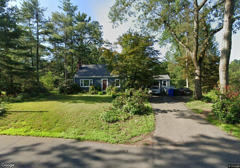
11 Stodmor Rd Simsbury, CT 06070
Estimated Value: $378,000 - $431,000
3
Beds
3
Baths
1,155
Sq Ft
$352/Sq Ft
Est. Value
About This Home
This home is located at 11 Stodmor Rd, Simsbury, CT 06070 and is currently estimated at $406,928, approximately $352 per square foot. 11 Stodmor Rd is a home located in Hartford County with nearby schools including Central School, Henry James Memorial School, and Simsbury High School.
Ownership History
Date
Name
Owned For
Owner Type
Purchase Details
Closed on
Aug 21, 2006
Sold by
Glynn Jill K
Bought by
Coolidge David A and Coolidge Caroline C
Current Estimated Value
Home Financials for this Owner
Home Financials are based on the most recent Mortgage that was taken out on this home.
Original Mortgage
$204,000
Outstanding Balance
$123,275
Interest Rate
6.88%
Estimated Equity
$283,653
Purchase Details
Closed on
Mar 17, 1997
Sold by
Simonian Barbara Est
Bought by
Glynn Jill
Home Financials for this Owner
Home Financials are based on the most recent Mortgage that was taken out on this home.
Original Mortgage
$131,100
Interest Rate
7.63%
Mortgage Type
Unknown
Purchase Details
Closed on
Oct 16, 1992
Sold by
Dornfried Robert
Bought by
Farr Bldg Co Inc
Home Financials for this Owner
Home Financials are based on the most recent Mortgage that was taken out on this home.
Original Mortgage
$85,000
Interest Rate
7.93%
Purchase Details
Closed on
Jun 2, 1992
Sold by
Serignese Nicholas F
Bought by
Thompson Nancy C and Thompson Mary
Create a Home Valuation Report for This Property
The Home Valuation Report is an in-depth analysis detailing your home's value as well as a comparison with similar homes in the area
Home Values in the Area
Average Home Value in this Area
Purchase History
| Date | Buyer | Sale Price | Title Company |
|---|---|---|---|
| Coolidge David A | $259,000 | -- | |
| Glynn Jill | $138,000 | -- | |
| Farr Bldg Co Inc | $95,000 | -- | |
| Thompson Nancy C | $64,500 | -- |
Source: Public Records
Mortgage History
| Date | Status | Borrower | Loan Amount |
|---|---|---|---|
| Open | Thompson Nancy C | $204,000 | |
| Previous Owner | Thompson Nancy C | $152,000 | |
| Previous Owner | Thompson Nancy C | $131,100 | |
| Previous Owner | Thompson Nancy C | $85,000 |
Source: Public Records
Tax History
| Year | Tax Paid | Tax Assessment Tax Assessment Total Assessment is a certain percentage of the fair market value that is determined by local assessors to be the total taxable value of land and additions on the property. | Land | Improvement |
|---|---|---|---|---|
| 2025 | $6,523 | $190,960 | $75,110 | $115,850 |
| 2024 | $6,361 | $190,960 | $75,110 | $115,850 |
| 2023 | $6,076 | $190,960 | $75,110 | $115,850 |
| 2022 | $5,640 | $146,010 | $79,610 | $66,400 |
| 2021 | $5,640 | $146,010 | $79,610 | $66,400 |
| 2020 | $5,416 | $146,010 | $79,610 | $66,400 |
| 2019 | $5,449 | $146,010 | $79,610 | $66,400 |
| 2018 | $5,489 | $146,010 | $79,610 | $66,400 |
| 2017 | $5,320 | $137,260 | $79,620 | $57,640 |
| 2016 | $5,095 | $137,260 | $79,620 | $57,640 |
| 2015 | $5,095 | $137,260 | $79,620 | $57,640 |
| 2014 | $5,098 | $137,260 | $79,620 | $57,640 |
Source: Public Records
Map
Nearby Homes
- 31 Oxford Ct
- 14 Richard Rd
- 16 Richard Rd
- 7 Grimes Brook Place
- 28 Great Pond Rd
- 6 Heritage Ln
- 9 Carriage Dr Unit 9
- 121 Hoskins Rd
- 14 North Dr
- 79 Cambridge Ct
- 7 School House Ln
- 1 West St Unit 219
- 59 Cambridge Ct
- 100 Cambridge Ct
- 92 Laurel Ln
- 36 Clifdon Dr
- 24 Hunting Ridge Dr
- 10 Litchfield Dr
- 89 Hop Brook Rd
- 2 Gillette Ct Unit D
Your Personal Tour Guide
Ask me questions while you tour the home.