11 Wethersfield St Rowley, MA 01969
Estimated Value: $556,189 - $677,000
4
Beds
1
Bath
1,870
Sq Ft
$335/Sq Ft
Est. Value
About This Home
This home is located at 11 Wethersfield St, Rowley, MA 01969 and is currently estimated at $625,547, approximately $334 per square foot. 11 Wethersfield St is a home located in Essex County with nearby schools including Triton Regional High School, North Shore Montessori School, and Clark School.
Ownership History
Date
Name
Owned For
Owner Type
Purchase Details
Closed on
Aug 31, 1994
Sold by
Pitrowski Ellen K
Bought by
Moon Karen M
Current Estimated Value
Create a Home Valuation Report for This Property
The Home Valuation Report is an in-depth analysis detailing your home's value as well as a comparison with similar homes in the area
Home Values in the Area
Average Home Value in this Area
Purchase History
| Date | Buyer | Sale Price | Title Company |
|---|---|---|---|
| Moon Karen M | $130,000 | -- |
Source: Public Records
Mortgage History
| Date | Status | Borrower | Loan Amount |
|---|---|---|---|
| Open | Moon Karen M | $141,600 | |
| Closed | Moon Karen M | $146,000 | |
| Closed | Moon Karen M | $29,000 | |
| Closed | Moon Karen M | $25,000 |
Source: Public Records
Tax History
| Year | Tax Paid | Tax Assessment Tax Assessment Total Assessment is a certain percentage of the fair market value that is determined by local assessors to be the total taxable value of land and additions on the property. | Land | Improvement |
|---|---|---|---|---|
| 2025 | $6,290 | $534,400 | $222,600 | $311,800 |
| 2024 | $6,172 | $510,100 | $212,000 | $298,100 |
| 2023 | $6,218 | $463,700 | $184,400 | $279,300 |
| 2022 | $5,655 | $386,800 | $153,600 | $233,200 |
| 2021 | $5,501 | $353,100 | $133,600 | $219,500 |
| 2020 | $5,562 | $357,000 | $127,200 | $229,800 |
| 2019 | $4,890 | $333,100 | $127,200 | $205,900 |
| 2018 | $4,632 | $317,700 | $127,200 | $190,500 |
| 2017 | $4,644 | $328,400 | $137,900 | $190,500 |
| 2016 | $4,449 | $309,800 | $114,200 | $195,600 |
| 2015 | $3,986 | $279,900 | $114,200 | $165,700 |
Source: Public Records
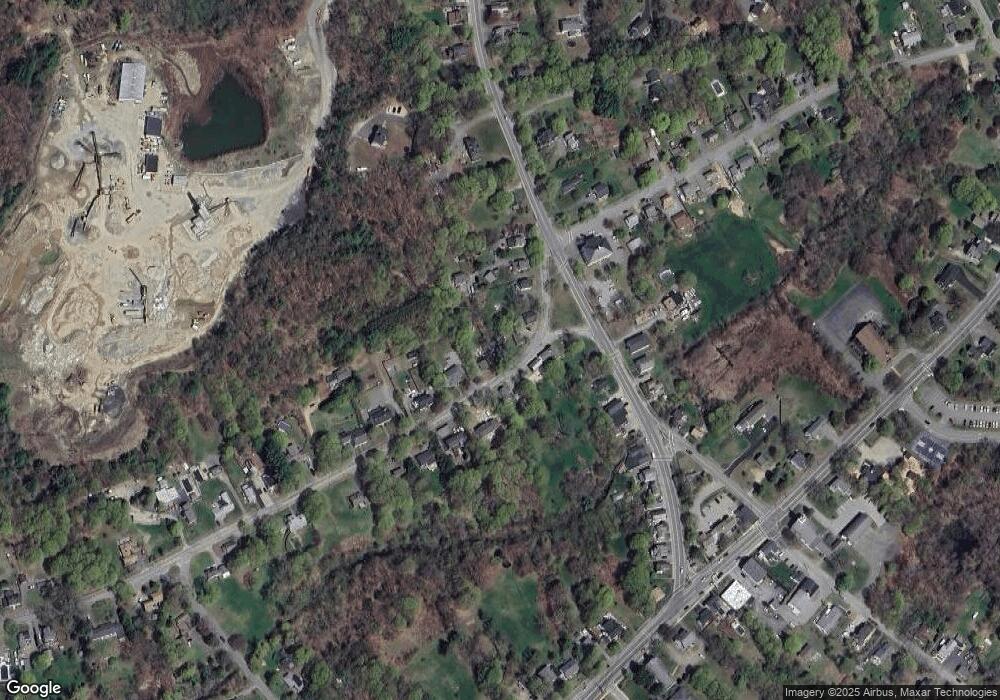
Map
Nearby Homes
- 34 Central St Unit 2
- 21 Hammond St
- 84 Hammond St
- 47 Prospect St
- 22 Dexter Dr
- 117 Kittery Ave
- 1 Confidential Way
- 304 & 480 Wethersfield St & Nbpt Tnpk
- 408 Central St
- 304-312 Wethersfield St
- 308 & 312 Wethersfield St
- 413 Wethersfield St
- 75 Country Club Way
- 49 Country Club Way
- 60 Caldwell Farm Rd
- 167 Elm St
- 59 Washington St
- 13 Brown St
- 24 Hodgkins Dr
- 11 Washington St Unit 8
- 13 Wethersfield St
- 7 Wethersfield St
- 6 Wethersfield St
- 14 Wethersfield St
- 17 Wethersfield St Unit 2
- 16 Wethersfield St
- 5 Wethersfield St
- 34 Central St
- 21 Wethersfield St
- 22 Wethersfield St
- 46 Central St
- 3 Wethersfield St
- 44 Central St
- 27 Wethersfield St
- 26 Wethersfield St
- 28 Central St
- 48 Central St
- 30 Wethersfield St
- 31 Wethersfield St
- 27 Central St
Your Personal Tour Guide
Ask me questions while you tour the home.