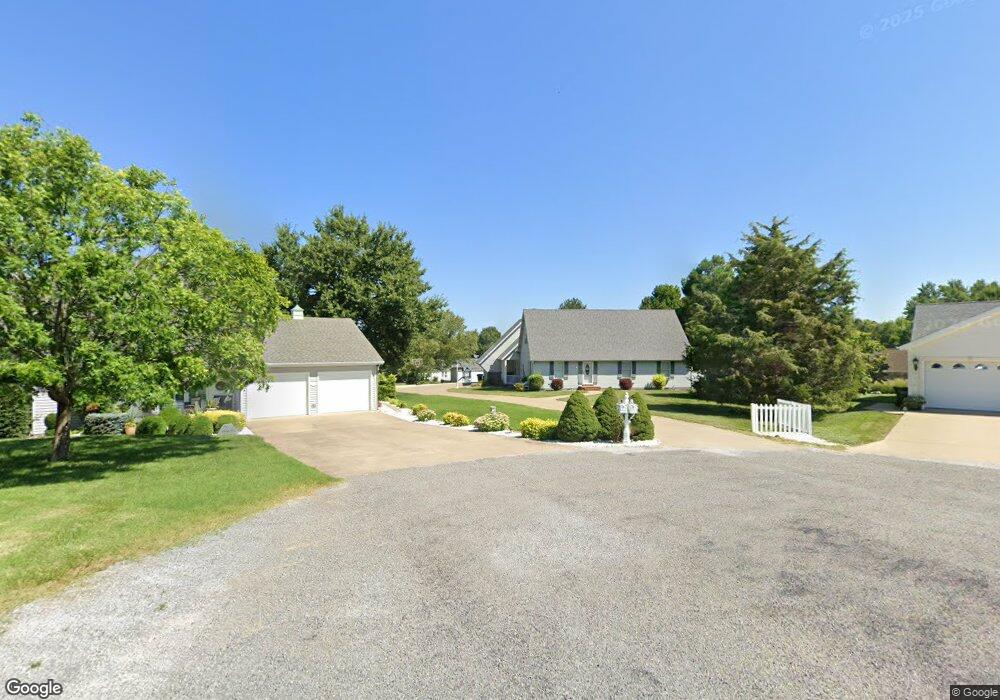
110 Apache Dr Harrisburg, IL 62946
Estimated Value: $204,000 - $260,000
Studio
--
Bath
--
Sq Ft
--
Built
About This Home
This home is located at 110 Apache Dr, Harrisburg, IL 62946 and is currently estimated at $236,957. 110 Apache Dr is a home located in Saline County with nearby schools including West Side Primary School, East Side Intermediate School, and Harrisburg Middle School.
Ownership History
Date
Name
Owned For
Owner Type
Purchase Details
Closed on
Jan 6, 2012
Sold by
Barnes Frederick J and Barnes Carol A
Bought by
Carlton James and Carlton Kara
Current Estimated Value
Home Financials for this Owner
Home Financials are based on the most recent Mortgage that was taken out on this home.
Original Mortgage
$178,600
Outstanding Balance
$18,019
Interest Rate
3.98%
Mortgage Type
New Conventional
Estimated Equity
$218,938
Create a Home Valuation Report for This Property
The Home Valuation Report is an in-depth analysis detailing your home's value as well as a comparison with similar homes in the area
Home Values in the Area
Average Home Value in this Area
Purchase History
| Date | Buyer | Sale Price | Title Company |
|---|---|---|---|
| Carlton James | -- | None Available |
Source: Public Records
Mortgage History
| Date | Status | Borrower | Loan Amount |
|---|---|---|---|
| Open | Carlton James | $178,600 |
Source: Public Records
Tax History
| Year | Tax Paid | Tax Assessment Tax Assessment Total Assessment is a certain percentage of the fair market value that is determined by local assessors to be the total taxable value of land and additions on the property. | Land | Improvement |
|---|---|---|---|---|
| 2024 | $6,157 | $74,772 | $6,095 | $68,677 |
| 2023 | $5,667 | $63,377 | $5,166 | $58,211 |
| 2022 | $5,553 | $59,745 | $4,870 | $54,875 |
| 2021 | $5,765 | $61,591 | $5,020 | $56,571 |
| 2020 | $5,681 | $59,745 | $4,870 | $54,875 |
| 2019 | $5,787 | $59,745 | $4,870 | $54,875 |
| 2018 | $5,850 | $59,745 | $4,870 | $54,875 |
| 2017 | $5,761 | $59,745 | $4,870 | $54,875 |
| 2016 | $57 | $59,745 | $4,870 | $54,875 |
| 2015 | -- | $59,745 | $4,870 | $54,875 |
| 2014 | $4,313 | $59,745 | $4,870 | $54,875 |
| 2013 | $4,313 | $59,745 | $4,870 | $54,875 |
| 2012 | $4,313 | $59,745 | $4,870 | $54,875 |
Source: Public Records
Map
Nearby Homes
- 312 Cherokee Dr
- 120 Southwest Dr
- 4 Acorn Dr
- 615 Liberty Rd
- 1112 Mchaney Rd
- 185 Jones Rd
- 827 W Raymond St
- 832 W Raymond St
- 1917 W Poplar St
- 728 W Parish St
- 108 Barlett Ln
- 506 W College St
- 1413 S Mckinley St
- 1015 S Washington St
- 734 S Mckinley St
- 410 W Mable St
- 517 W Barnett St
- 618 S Mckinley St
- 520 S Mckinley St
- 504 W South St
- 105 Apache Dr
- 108 Apache Dr
- 308 Cherokee Dr
- 206 Cherokee Dr
- 208 Cherokee Dr
- 304 Cherokee Dr
- 316 Cherokee Dr
- 204 Cherokee Dr
- 214 Cherokee Dr
- 106 Apache Dr
- 103 Apache Dr
- 202 Cherokee Dr
- 104 Apache Dr
- 300 Cherokee Dr
- 320 Cherokee Dr
- 000 Cherokee Dr
- 100 Cherokee Dr
- Lot 17 Cherokee Dr
- 101 Apache Dr
- 101 Apache Dr Unit il
Your Personal Tour Guide
Ask me questions while you tour the home.