110 Brookbank Ct Trinity, NC 27370
Estimated Value: $251,000 - $277,000
About This Home
This home is located at 110 Brookbank Ct, Trinity, NC 27370 and is currently estimated at $267,507, approximately $155 per square foot. 110 Brookbank Ct is a home located in Randolph County with nearby schools including Trindale Elementary School, Wheatmore Middle School, and Trinity High School.
Ownership History
We collect this data history from publicly available records. To have your information removed, we recommend requesting removal directly through your county’s website.
Purchase Details
Purchase Details
Home Financials for this Owner
Home Financials are based on the most recent Mortgage that was taken out on this home.Home Values in the Area
Average Home Value in this Area
Purchase History
We collect this data history from publicly available records. To have your information removed, we recommend requesting removal directly through your county’s website.
| Date | Buyer | Sale Price | Title Company |
|---|---|---|---|
| $150,000 | None Available | ||
| $150,000 | None Available |
Mortgage History
We collect this data history from publicly available records. To have your information removed, we recommend requesting removal directly through your county’s website.
| Date | Status | Borrower | Loan Amount |
|---|---|---|---|
| Previous Owner | $119,920 |
Tax History
We collect this data history from publicly available records. To have your information removed, we recommend requesting removal directly through your county’s website.
| Year | Tax Paid | Tax Assessment Tax Assessment Total Assessment is a certain percentage of the fair market value that is determined by local assessors to be the total taxable value of land and additions on the property. | Land | Improvement |
|---|---|---|---|---|
| 2025 | $2,260 | $217,290 | $35,000 | $182,290 |
| 2024 | $2,239 | $217,290 | $35,000 | $182,290 |
| 2023 | $2,239 | $217,290 | $35,000 | $182,290 |
| 2022 | $1,503 | $126,820 | $13,000 | $113,820 |
| 2021 | $1,503 | $126,820 | $13,000 | $113,820 |
| 2020 | $1,468 | $126,820 | $13,000 | $113,820 |
| 2019 | $1,468 | $126,820 | $13,000 | $113,820 |
| 2018 | $1,518 | $127,760 | $13,000 | $114,760 |
| 2016 | $1,487 | $127,760 | $13,000 | $114,760 |
| 2015 | $1,490 | $127,760 | $13,000 | $114,760 |
| 2014 | $1,490 | $127,760 | $13,000 | $114,760 |
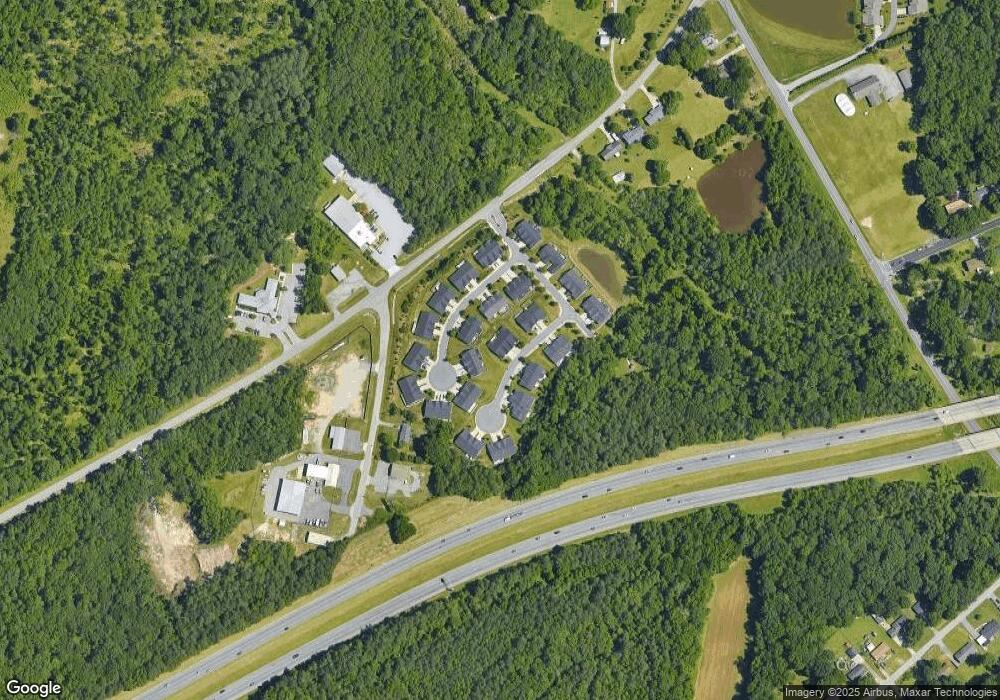
Map
- 4117 Barrett Dr
- 1100 Jimmy Ct
- 810 Brittany Way
- 1105 Victory Dr
- 5528 Avery Dr
- 512 Dale St
- 5521 Carrington Ct
- 1101 Jimmy Ct
- 310 Brittany Way
- 1406 Brittany Way
- 410 Shamrock Ct
- 1109 Slingshot Dr
- 1003 Slingshot Dr
- 1013 Slingshot Dr
- 1006 Slingshot Ct
- 1004 Slingshot Dr
- 1011 Slingshot Dr
- 1007 Slingshot Dr
- 1008 Slingshot Dr
- 314 Shamrock Ct Unit 314
- 109 Brookbank Ct
- 107 Brookbank Ct
- 111 Brookbank Ct
- 113 Brookbank Ct
- 105 Brookbank Ct
- 108 Brookbank Ct
- 115 Bouldin Ct
- 103 Brookbank Ct
- 106 Brookbank Ct
- 117 Bouldin Ct
- 115 Brookbank Ct
- 113 Bouldin Ct
- 119 Bouldin Ct
- 104 Brookbank Ct Unit 25
- 104 Brookbank Ct
- 117 Brookbank Ct
- 111 Bouldin Ct
- 109 Bouldin Ct
- 121 Brookbank Ct
- 119 Brookbank Ct
Ask me questions while you tour the home.