110 Holbrook Mountain Rd Marshall, NC 28753
Estimated Value: $458,758 - $780,000
Studio
--
Bath
1,712
Sq Ft
$338/Sq Ft
Est. Value
About This Home
This home is located at 110 Holbrook Mountain Rd, Marshall, NC 28753 and is currently estimated at $578,940, approximately $338 per square foot. 110 Holbrook Mountain Rd is a home located in Madison County with nearby schools including Madison Middle School and Woodson Branch Nature School.
Ownership History
Date
Name
Owned For
Owner Type
Purchase Details
Closed on
Jun 25, 2020
Sold by
Holbrook Robert Lo
Bought by
Holbrook Robert Loy and Holbrook Marsha Randall
Current Estimated Value
Home Financials for this Owner
Home Financials are based on the most recent Mortgage that was taken out on this home.
Original Mortgage
$206,000
Interest Rate
2.9%
Mortgage Type
New Conventional
Purchase Details
Closed on
May 29, 2008
Sold by
Holbrook Robert L and Holbrook Pansy B
Bought by
Holbrook Robert Loy
Create a Home Valuation Report for This Property
The Home Valuation Report is an in-depth analysis detailing your home's value as well as a comparison with similar homes in the area
Home Values in the Area
Average Home Value in this Area
Purchase History
| Date | Buyer | Sale Price | Title Company |
|---|---|---|---|
| Holbrook Robert Loy | -- | Mortgage Connect Lp | |
| Holbrook Robert Loy | -- | None Listed On Document | |
| Holbrook Robert Loy | -- | None Available |
Source: Public Records
Mortgage History
| Date | Status | Borrower | Loan Amount |
|---|---|---|---|
| Previous Owner | Holbrook Robert Loy | $206,000 |
Source: Public Records
Tax History
| Year | Tax Paid | Tax Assessment Tax Assessment Total Assessment is a certain percentage of the fair market value that is determined by local assessors to be the total taxable value of land and additions on the property. | Land | Improvement |
|---|---|---|---|---|
| 2024 | $2,373 | $476,738 | $32,330 | $444,408 |
| 2023 | $1,773 | $265,426 | $24,318 | $241,108 |
| 2022 | $1,773 | $265,426 | $24,318 | $241,108 |
| 2021 | $1,773 | $265,426 | $24,318 | $241,108 |
| 2020 | $1,773 | $265,426 | $24,318 | $241,108 |
| 2019 | $1,390 | $189,234 | $20,273 | $168,961 |
| 2018 | $1,173 | $0 | $0 | $0 |
| 2017 | $1,173 | $0 | $0 | $0 |
| 2016 | $1,173 | $0 | $0 | $0 |
| 2015 | -- | $0 | $0 | $0 |
| 2014 | -- | $189,234 | $20,273 | $168,961 |
| 2013 | -- | $189,234 | $20,273 | $168,961 |
Source: Public Records
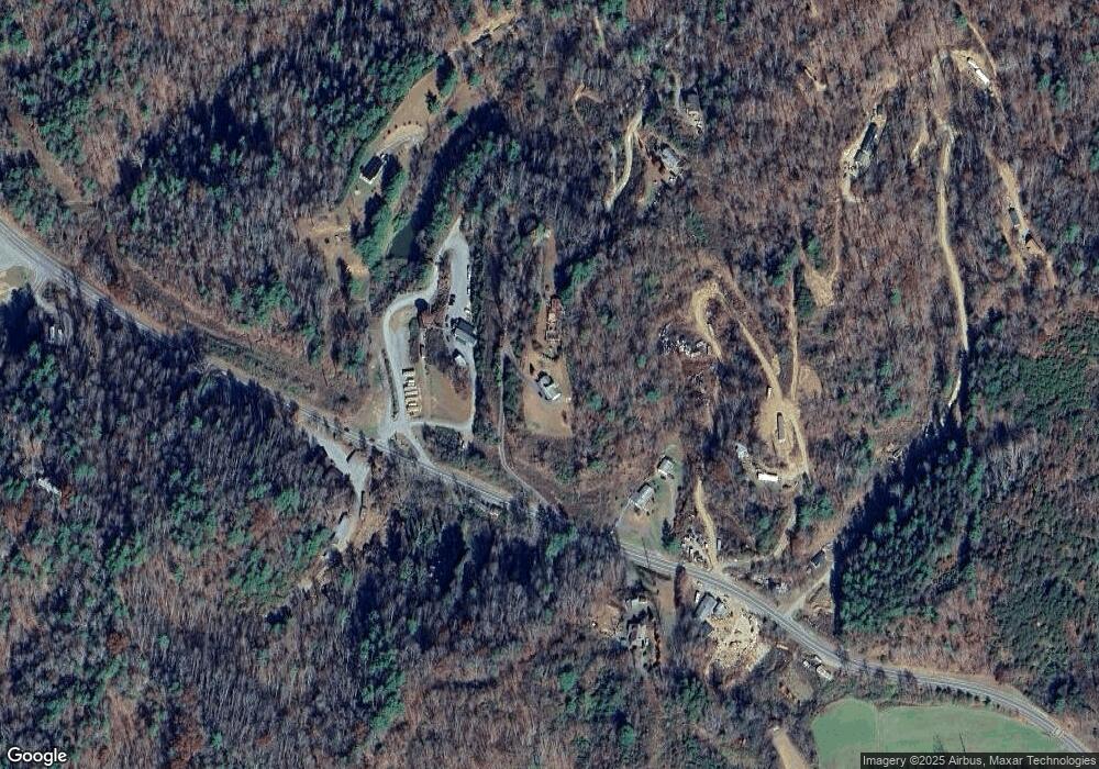
Map
Nearby Homes
- 350 Sandy Bottom Rd
- 1160 High Rock Mountain Rd
- 101 Red Maple Run Unit 1
- 255 Clearview Ln Unit 12
- 112 Moon Shadow Ln
- 176 Winterberry Dr Unit 17
- 99999 Anderson Branch Rd
- 71 Turkey Trot Trail Unit 16
- 149 Turkey Trot Trail Unit 17
- 4110 French Broad Pkwy Unit 55
- 625 White Water Way Unit 25
- 677 White Water Way Unit 30
- 109 Longview Ct Unit 6
- 3477 French Broad Pkwy Unit 1
- 141 River Club Trail Unit 8
- 385 Wild River Run Unit 7
- 387 Wild River Run Unit 6
- 512 Wild River Run Unit 65
- 200 Dry Branch Rd
- 567 Wild River Run
- 175 Holbrook Mountain Rd
- 9650 Us 25/70 Hwy
- 155 Holbrook Mountain Rd
- 9705 Us 25/70 Hwy
- 9705 Us Hwy 25 70
- 9769 Us 25/70 Hwy
- 9631 Us 25/70 Hwy
- 9764 Us 25/70 Hwy
- 9812 Us 25/70 Hwy
- 39 Babe Allen Dr
- 9766 Us 25/70 Hwy
- 9810 Us 25/70 Hwy
- 9535 Us 25/70 Hwy
- 355 Babe Allen Dr
- 201 Lower Brush Creek Rd
- 9352 Us 25/70 Hwy
- 9352 Us 25/70 Hwy
- 200 Ledford and Craine Rd
- 200 Ledford and Craine Rd
- 234 Sharp Hollow Rd
Your Personal Tour Guide
Ask me questions while you tour the home.