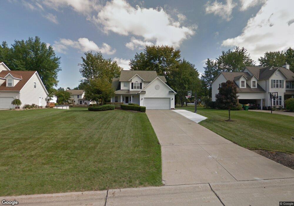
110 Red Pine Dr Painesville, OH 44077
Estimated Value: $305,476 - $354,000
3
Beds
3
Baths
1,309
Sq Ft
$253/Sq Ft
Est. Value
About This Home
This home is located at 110 Red Pine Dr, Painesville, OH 44077 and is currently estimated at $331,119, approximately $252 per square foot. 110 Red Pine Dr is a home located in Lake County with nearby schools including Henry F. Lamuth Middle School, Riverside Junior/Senior High School, and Summit Academy Community School - Painesville.
Ownership History
Date
Name
Owned For
Owner Type
Purchase Details
Closed on
Jun 17, 2008
Sold by
Demastry Daniel J and Demastry Ruth H
Bought by
Atwell Bernard A and Atwell Jeannie M
Current Estimated Value
Home Financials for this Owner
Home Financials are based on the most recent Mortgage that was taken out on this home.
Original Mortgage
$100,000
Outstanding Balance
$63,295
Interest Rate
6.04%
Mortgage Type
Purchase Money Mortgage
Estimated Equity
$267,824
Purchase Details
Closed on
Jun 19, 1996
Sold by
R W Sidley Inc
Bought by
Demastry Daniel J and Demastry Ruth E
Create a Home Valuation Report for This Property
The Home Valuation Report is an in-depth analysis detailing your home's value as well as a comparison with similar homes in the area
Home Values in the Area
Average Home Value in this Area
Purchase History
| Date | Buyer | Sale Price | Title Company |
|---|---|---|---|
| Atwell Bernard A | $201,000 | Enterprise Title | |
| Demastry Daniel J | $33,000 | -- |
Source: Public Records
Mortgage History
| Date | Status | Borrower | Loan Amount |
|---|---|---|---|
| Open | Atwell Bernard A | $100,000 |
Source: Public Records
Tax History
| Year | Tax Paid | Tax Assessment Tax Assessment Total Assessment is a certain percentage of the fair market value that is determined by local assessors to be the total taxable value of land and additions on the property. | Land | Improvement |
|---|---|---|---|---|
| 2025 | -- | $96,080 | $20,120 | $75,960 |
| 2024 | -- | $96,080 | $20,120 | $75,960 |
| 2023 | $8,521 | $78,200 | $16,080 | $62,120 |
| 2022 | $4,569 | $78,200 | $16,080 | $62,120 |
| 2021 | $4,586 | $78,200 | $16,080 | $62,120 |
| 2020 | $4,517 | $68,000 | $13,980 | $54,020 |
| 2019 | $4,551 | $68,000 | $13,980 | $54,020 |
| 2018 | $4,565 | $60,690 | $18,820 | $41,870 |
| 2017 | $4,200 | $60,690 | $18,820 | $41,870 |
| 2016 | $3,696 | $60,690 | $18,820 | $41,870 |
| 2015 | $3,474 | $60,690 | $18,820 | $41,870 |
| 2014 | $3,531 | $60,690 | $18,820 | $41,870 |
| 2013 | $3,450 | $60,690 | $18,820 | $41,870 |
Source: Public Records
Map
Nearby Homes
- 97 Park Rd
- 1345 Cedar Creek Ct
- 67 Tanners Farm Dr
- 264 Park Rd
- 54 Park Rd
- 140 Parkhall Dr
- 5413 Pebble Creek Ln Unit 58
- 396 Park Rd
- 300 Manhattan Pkwy
- 5223 Queen Ann Way Unit 33
- 180 Radley Dr
- 30 Orton Rd
- V/L Morgan Dr
- 55 Grove Ave
- 79 Hickory Hill Rd
- 1226 Fanwood Ct
- 5690 Canyon View Dr
- 575 Park Rd
- 959 Madison Ave
- 175 Overlook Rd
- 120 Red Pine Dr
- 100 Red Pine Dr
- 115 Honey Locust Ct
- 119 Honey Locust Ct
- 128 Red Pine Dr
- 94 Red Pine Dr
- 111 Red Pine Dr
- 103 Red Pine Dr
- 127 Honey Locust Ct
- 109 Honey Locust Ct
- 95 Red Pine Dr
- 136 Red Pine Dr
- 82 Red Pine Dr
- 1497 Amberwood Ln
- 129 Red Pine Dr
- 135 Honey Locust Ct
- 1495 Amberwood Ln
- 87 Red Pine Dr
- 108 Cedar Glen Dr
- 108 Honey Locust Ct
Your Personal Tour Guide
Ask me questions while you tour the home.