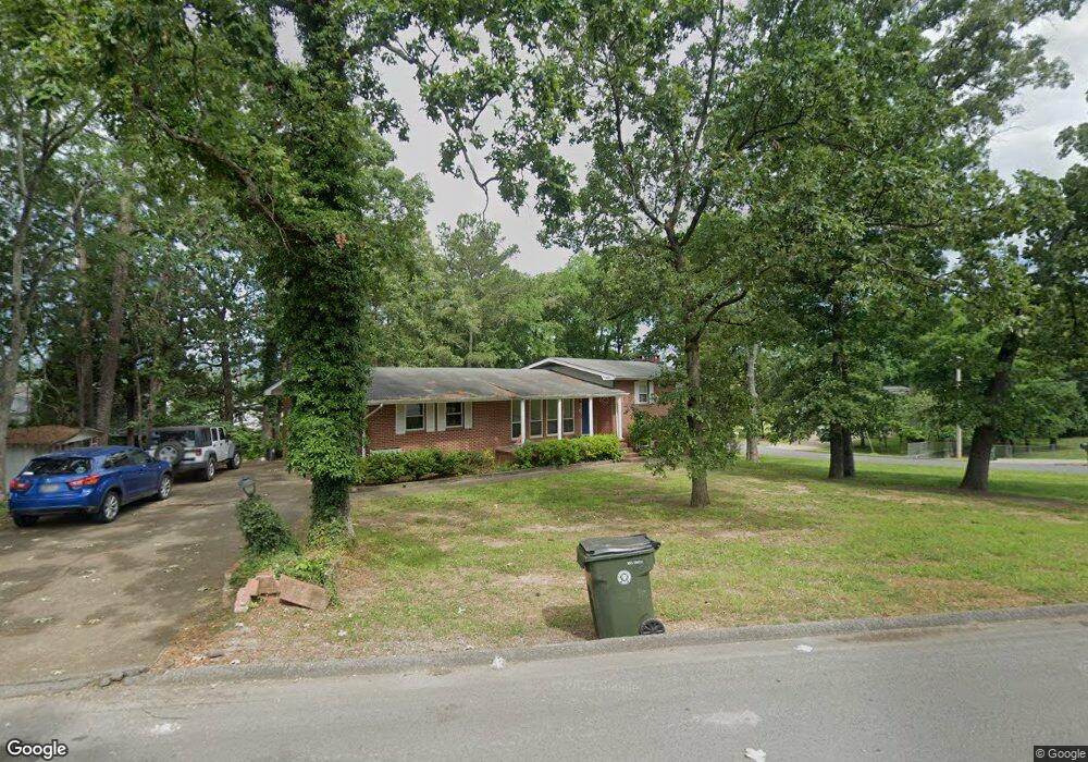
110 Stuart Rd Fort Oglethorpe, GA 30742
Estimated Value: $249,000 - $274,000
About This Home
This home is located at 110 Stuart Rd, Fort Oglethorpe, GA 30742 and is currently estimated at $256,635, approximately $207 per square foot. 110 Stuart Rd is a home located in Catoosa County with nearby schools including Battlefield Primary School, Battlefield Elementary School, and Lakeview Middle School.
Ownership History
We collect this data history from publicly available records. To have your information removed, we recommend requesting removal directly through your county’s website.
Purchase Details
Home Financials for this Owner
Home Financials are based on the most recent Mortgage that was taken out on this home.Purchase Details
Home Values in the Area
Average Home Value in this Area
Purchase History
We collect this data history from publicly available records. To have your information removed, we recommend requesting removal directly through your county’s website.
| Date | Buyer | Sale Price | Title Company |
|---|---|---|---|
| $140,000 | -- | ||
| -- | -- |
Mortgage History
We collect this data history from publicly available records. To have your information removed, we recommend requesting removal directly through your county’s website.
| Date | Status | Borrower | Loan Amount |
|---|---|---|---|
| Open | $105,000 |
Tax History
We collect this data history from publicly available records. To have your information removed, we recommend requesting removal directly through your county’s website.
| Year | Tax Paid | Tax Assessment Tax Assessment Total Assessment is a certain percentage of the fair market value that is determined by local assessors to be the total taxable value of land and additions on the property. | Land | Improvement |
|---|---|---|---|---|
| 2025 | $2,180 | $100,464 | $10,000 | $90,464 |
| 2024 | $2,546 | $100,271 | $13,007 | $87,264 |
| 2023 | $2,196 | $81,807 | $13,007 | $68,800 |
| 2022 | $1,471 | $64,591 | $13,007 | $51,584 |
| 2021 | $1,720 | $64,591 | $13,007 | $51,584 |
| 2020 | $1,720 | $58,253 | $13,007 | $45,246 |
| 2019 | $352 | $58,253 | $13,007 | $45,246 |
| 2018 | $1,528 | $48,773 | $11,706 | $37,067 |
| 2017 | $304 | $47,714 | $11,706 | $36,008 |
| 2016 | $298 | $44,821 | $11,706 | $33,114 |
| 2015 | -- | $44,821 | $11,706 | $33,114 |
| 2014 | -- | $44,821 | $11,706 | $33,114 |
| 2013 | -- | $44,820 | $11,706 | $33,114 |
Map
- 123 General Hays Rd
- 215 Battlewood Dr
- 31 Jackson Way
- 1112 Park Forrest Dr
- 99 Battlewood Dr
- 1605 Cannon Dr
- 72 Sarah Lynn Ln
- 75 Sarah Lynn Ln
- 1608 Wildwood Trail
- 37 Eaton Cir
- 1804 Honeysuckle Trail
- 0 Dandelion Trail Unit 1528762
- 0 Dandelion Trail Unit RTC3132518
- 307 Franklin Cir
- 351 Franklin Cir
- 8 Morgan Cir
- 0 Westside Country Dr Unit RTC3132302
- 0 Westside Country Dr Unit 1528737
- 43 Pegram Cir
- 166 Evergreen Cir
- 111 Stuart Rd
- 81 General Johnson Rd
- 1537 Battlefield Pkwy
- 80 General Johnson Rd
- 83 General Johnson Rd
- 1499 Battlefield Pkwy
- 70 General Johnson Rd
- 84 General Johnson Rd
- 119 Stuart Rd
- 0 General Johnson Rd Unit 1125814
- 0 General Johnson Rd
- 0 General Johnson Rd Unit 1098479
- 0 General Johnson Rd Unit 1106233
- 1549 Battlefield Pkwy
- 68 General Johnson Rd
- 83 General Hood Rd
- 1599 Battlefield Pkwy
- 61 General Johnson Rd
- 123 Stuart Rd
- 84 General Hood Rd
Ask me questions while you tour the home.