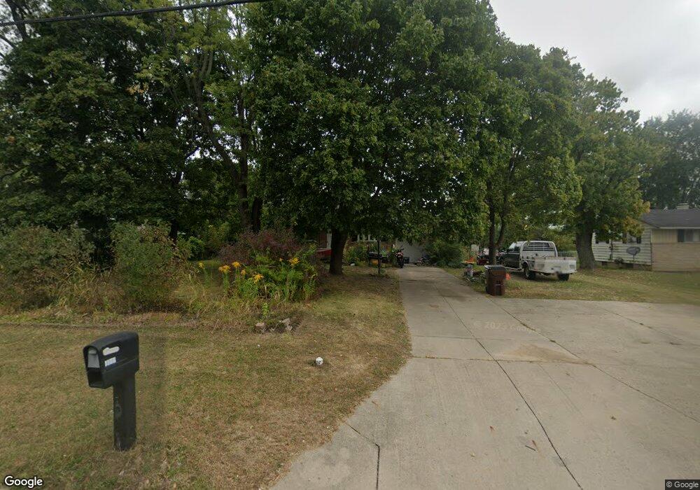
1100 Villa Rd Springfield, OH 45503
Estimated Value: $205,000 - $243,000
3
Beds
1
Bath
1,399
Sq Ft
$159/Sq Ft
Est. Value
About This Home
This home is located at 1100 Villa Rd, Springfield, OH 45503 and is currently estimated at $221,895, approximately $158 per square foot. 1100 Villa Rd is a home located in Clark County with nearby schools including Northridge Elementary School, Kenton Ridge Middle & High School, and Emmanuel Christian Academy.
Ownership History
Date
Name
Owned For
Owner Type
Purchase Details
Closed on
Oct 15, 2007
Sold by
Morgan James L and Morgan Rosalie G
Bought by
Wilt Kevin M and Wilt Herman L
Current Estimated Value
Home Financials for this Owner
Home Financials are based on the most recent Mortgage that was taken out on this home.
Original Mortgage
$112,238
Outstanding Balance
$70,152
Interest Rate
6.5%
Mortgage Type
FHA
Estimated Equity
$151,743
Purchase Details
Closed on
Jan 20, 1989
Sold by
Rohrer Dale A and Rohrer Lora L
Bought by
Morgan James L and Morgan Rosalie G
Purchase Details
Closed on
Oct 30, 1987
Create a Home Valuation Report for This Property
The Home Valuation Report is an in-depth analysis detailing your home's value as well as a comparison with similar homes in the area
Home Values in the Area
Average Home Value in this Area
Purchase History
| Date | Buyer | Sale Price | Title Company |
|---|---|---|---|
| Wilt Kevin M | $114,000 | Attorney | |
| Morgan James L | $58,000 | -- | |
| -- | $55,000 | -- |
Source: Public Records
Mortgage History
| Date | Status | Borrower | Loan Amount |
|---|---|---|---|
| Open | Wilt Kevin M | $112,238 |
Source: Public Records
Tax History
| Year | Tax Paid | Tax Assessment Tax Assessment Total Assessment is a certain percentage of the fair market value that is determined by local assessors to be the total taxable value of land and additions on the property. | Land | Improvement |
|---|---|---|---|---|
| 2025 | $2,025 | $62,030 | $14,110 | $47,920 |
| 2024 | $2,410 | $46,300 | $13,620 | $32,680 |
| 2023 | $2,410 | $46,300 | $13,620 | $32,680 |
| 2022 | $1,965 | $46,300 | $13,620 | $32,680 |
| 2021 | $2,072 | $41,340 | $10,720 | $30,620 |
| 2020 | $2,074 | $41,340 | $10,720 | $30,620 |
| 2019 | $2,114 | $41,340 | $10,720 | $30,620 |
| 2018 | $1,987 | $37,270 | $8,830 | $28,440 |
| 2017 | $1,703 | $35,854 | $8,827 | $27,027 |
| 2016 | $1,691 | $35,854 | $8,827 | $27,027 |
| 2015 | $1,809 | $35,854 | $8,827 | $27,027 |
| 2014 | $1,809 | $35,854 | $8,827 | $27,027 |
| 2013 | $1,767 | $35,854 | $8,827 | $27,027 |
Source: Public Records
Map
Nearby Homes
- 1039 Bradford Dr Unit 42
- 1139 Bradford Dr
- 3052 Brixton Dr E
- 1136 Foxboro Rd Unit 202
- 3124 El Camino Dr
- 1525 Providence Ave
- 3135 Imperial Blvd
- 1404 Attleboro Ave
- 2943 Tarryton Ln
- 732 Grandview Dr Unit 732
- 2022 Westboro Ave
- 3214 Revels St
- 1201 Kingsgate Rd
- 3631 Kingsgate Ln
- 1162 Kingsgate Rd
- 1500 Kingsgate Rd Unit 19430
- 1502 Kingsgate Rd Unit 19432
- 1500 Kingsgate Rd
- 1502 Kingsgate Rd
- 1507 Kingsgate Rd
- 1046 Villa Rd
- 1112 Villa Rd
- 1035 Armsgate Rd Unit 9
- 1033 Armsgate Rd
- 1124 Villa Rd
- 1037 Armsgate Rd
- 1034 Villa Rd
- 1031 Armsgate Rd Unit 11
- 1039 Armsgate Rd Unit 7
- 1034 Armsgate Rd
- 1136 Villa Rd
- 1029 Armsgate Rd Unit 12
- 1024 Villa Rd
- 1036 Armsgate Rd
- 1041 Armsgate Rd Unit 6
- 1041 Armsgate Rd
- 1041 Armsgate Rd
- 1030 Armsgate Rd Unit 29
- 1030 Armsgate Rd
- 1038 Armsgate Rd Unit 33
Your Personal Tour Guide
Ask me questions while you tour the home.