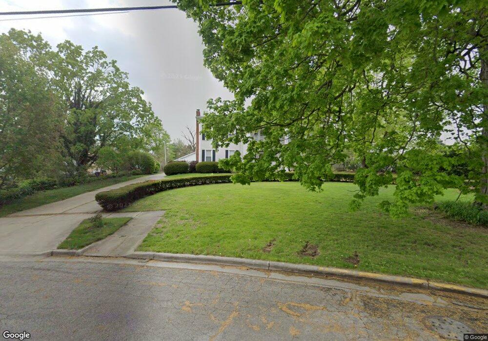
1100 Williams St Adrian, MI 49221
Estimated Value: $356,000 - $470,000
Studio
1
Bath
4,343
Sq Ft
$96/Sq Ft
Est. Value
About This Home
This home is located at 1100 Williams St, Adrian, MI 49221 and is currently estimated at $417,617, approximately $96 per square foot. 1100 Williams St is a home located in Lenawee County with nearby schools including Adrian High School, Berean Baptist Academy, and Trenton Hills Learning Center.
Ownership History
Date
Name
Owned For
Owner Type
Purchase Details
Closed on
Nov 29, 2005
Sold by
Ruth Steven L and Ruth Paricia M
Bought by
Ebeling Joseph D and Ebeling Anna M
Current Estimated Value
Home Financials for this Owner
Home Financials are based on the most recent Mortgage that was taken out on this home.
Original Mortgage
$239,200
Outstanding Balance
$141,338
Interest Rate
7.25%
Mortgage Type
Adjustable Rate Mortgage/ARM
Estimated Equity
$276,279
Create a Home Valuation Report for This Property
The Home Valuation Report is an in-depth analysis detailing your home's value as well as a comparison with similar homes in the area
Home Values in the Area
Average Home Value in this Area
Purchase History
We collect this data history from publicly available records. To have your information removed, we recommend requesting removal directly through your county’s website.
| Date | Buyer | Sale Price | Title Company |
|---|---|---|---|
| Ebeling Joseph D | $299,000 | Fidelity National Title |
Source: Public Records
Mortgage History
We collect this data history from publicly available records. To have your information removed, we recommend requesting removal directly through your county’s website.
| Date | Status | Borrower | Loan Amount |
|---|---|---|---|
| Open | Ebeling Joseph D | $239,200 | |
| Closed | Ebeling Joseph D | $59,800 |
Source: Public Records
Tax History
| Year | Tax Paid | Tax Assessment Tax Assessment Total Assessment is a certain percentage of the fair market value that is determined by local assessors to be the total taxable value of land and additions on the property. | Land | Improvement |
|---|---|---|---|---|
| 2025 | $4,280 | $205,600 | $0 | $0 |
| 2024 | $42 | $192,700 | $0 | $0 |
| 2023 | $4,774 | $177,600 | $0 | $0 |
| 2022 | $4,359 | $164,100 | $0 | $0 |
| 2021 | $4,279 | $150,800 | $0 | $0 |
| 2020 | $4,367 | $140,000 | $0 | $0 |
| 2019 | $275,259 | $133,100 | $0 | $0 |
| 2018 | $4,223 | $157,136 | $0 | $0 |
| 2017 | $3,992 | $121,790 | $0 | $0 |
| 2016 | $3,960 | $111,197 | $0 | $0 |
| 2014 | -- | $90,400 | $0 | $0 |
Source: Public Records
Map
Nearby Homes
- 1011 W Maumee St
- 967 W Maumee St Unit A
- 965 W Maumee St Unit A
- 1245 University Ave
- 325 N Scott St
- 914 W Maumee St
- 1275 University Ave
- 1136 Michigan Ave
- 355 Budlong St
- 778 College Ave
- 418 S Scott St
- 331 Anthony Ct
- 1109 Petoskey Ct
- 431 Oden Way
- 112 Renfrew Ave
- 100 Red River Dr
- 962 Vine St
- 705 College Ave
- 3520 Crestone Way
- 260 Renfrew Ave
- 1104 W Maumee St
- 1104 W Maumee St Unit includes 1106 W Maum
- 1052 W Maumee St
- 1112 W Maumee St
- 1039 Orchard Rd
- 1039 Orchard Rd
- 1033 Orchard Rd
- 1111 Orchard Rd
- 1116 W Maumee St
- 1123 W Maumee St
- 1123 W Maumee St
- 1045 W Maumee St
- 1124 W Maumee St
- 1046 Orchard Rd
- 1101 Williams St
- 1120 Williams St
- 1037 W Maumee St
- 1058 Orchard Rd
- 113 N Scott St
- 113 N Scott St
Your Personal Tour Guide
Ask me questions while you tour the home.