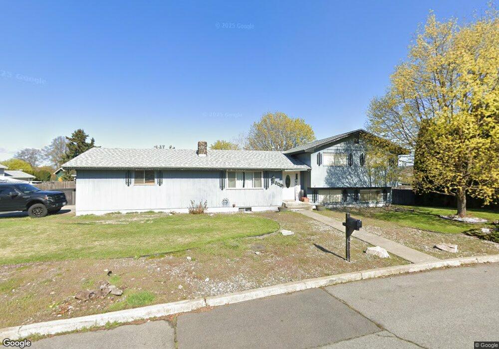
11003 E Maxwell Ave Spokane Valley, WA 99206
Opportunity NeighborhoodEstimated Value: $432,000 - $474,000
About This Home
This home is located at 11003 E Maxwell Ave, Spokane Valley, WA 99206 and is currently estimated at $449,524, approximately $184 per square foot. 11003 E Maxwell Ave is a home located in Spokane County with nearby schools including Broadway Elementary School, North Pines Middle School, and University High School.
Ownership History
We collect this data history from publicly available records. To have your information removed, we recommend requesting removal directly through your county’s website.
Purchase Details
Home Financials for this Owner
Home Financials are based on the most recent Mortgage that was taken out on this home.Purchase Details
Home Values in the Area
Average Home Value in this Area
Purchase History
We collect this data history from publicly available records. To have your information removed, we recommend requesting removal directly through your county’s website.
| Date | Buyer | Sale Price | Title Company |
|---|---|---|---|
| -- | Spokane County Title Co | ||
| $215,000 | First American Title Ins Co |
Mortgage History
We collect this data history from publicly available records. To have your information removed, we recommend requesting removal directly through your county’s website.
| Date | Status | Borrower | Loan Amount |
|---|---|---|---|
| Open | $191,650 | ||
| Previous Owner | $160,000 | ||
| Previous Owner | $50,000 |
Tax History
We collect this data history from publicly available records. To have your information removed, we recommend requesting removal directly through your county’s website.
| Year | Tax Paid | Tax Assessment Tax Assessment Total Assessment is a certain percentage of the fair market value that is determined by local assessors to be the total taxable value of land and additions on the property. | Land | Improvement |
|---|---|---|---|---|
| 2026 | $4,087 | $390,300 | $110,000 | $280,300 |
| 2025 | $3,947 | $382,400 | $90,000 | $292,400 |
| 2024 | $3,947 | $369,800 | $75,000 | $294,800 |
| 2023 | $3,317 | $360,800 | $70,000 | $290,800 |
| 2022 | $3,201 | $345,900 | $65,000 | $280,900 |
| 2021 | $3,007 | $240,700 | $40,000 | $200,700 |
| 2020 | $2,707 | $219,900 | $40,000 | $179,900 |
| 2019 | $2,233 | $189,100 | $34,000 | $155,100 |
| 2018 | $2,472 | $174,100 | $34,000 | $140,100 |
| 2017 | $2,297 | $164,600 | $34,000 | $130,600 |
| 2016 | $2,245 | $155,900 | $32,000 | $123,900 |
| 2015 | $2,204 | $150,400 | $32,000 | $118,400 |
| 2014 | -- | $150,600 | $35,000 | $115,600 |
| 2013 | -- | $0 | $0 | $0 |
Map
- 10811 E Mission Ave Unit 10813 E Mission Ave
- 911 N Skipworth Rd
- 10725 E Broadway Ave
- 1115 N Balfour Ct
- 1109 N Balfour Ct
- 10310 E Dean Ave
- 10720 & 10722 E Springfield Ave
- 10523 E Springfield Ave
- 11504 E Broadway Ave
- 902 N Wilbur Rd Unit 904
- 1715 N Herald Rd
- 11314 E Alki Ave
- 1219 N Walnut Ln
- 420 / 422 N Pierce Ln
- 11704 E Alki Ave
- 10623 E Montgomery Ave
- 9711 E Mission Ave
- 10902 E Nixon Ave
- 515 N Fox Ln
- n/a N Woodruff Rd
- 1506 N Glenn Rd
- 11009 E Maxwell Ave
- 11006 E Maxwell Ave
- 1516 N Glenn Rd
- 10925 E Maxwell Ave
- 10928 E Maxwell Ave
- 11002 E Mission Ave
- 11014 E Maxwell Ave
- 10912 E Mission Ave
- 10910 E Mission Ave
- 1501 N Glenn Rd
- 11008 E Mission Ave
- 10911 E Maxwell Ave
- 1507 N Glenn Rd
- 1513 N Pierce Rd
- 1515 N Glenn Rd
- 11014 E Mission Ave
- 11022 E Maxwell Ave
- 1411 N Pierce Rd
- 10926 E Maxwell Ave
Ask me questions while you tour the home.