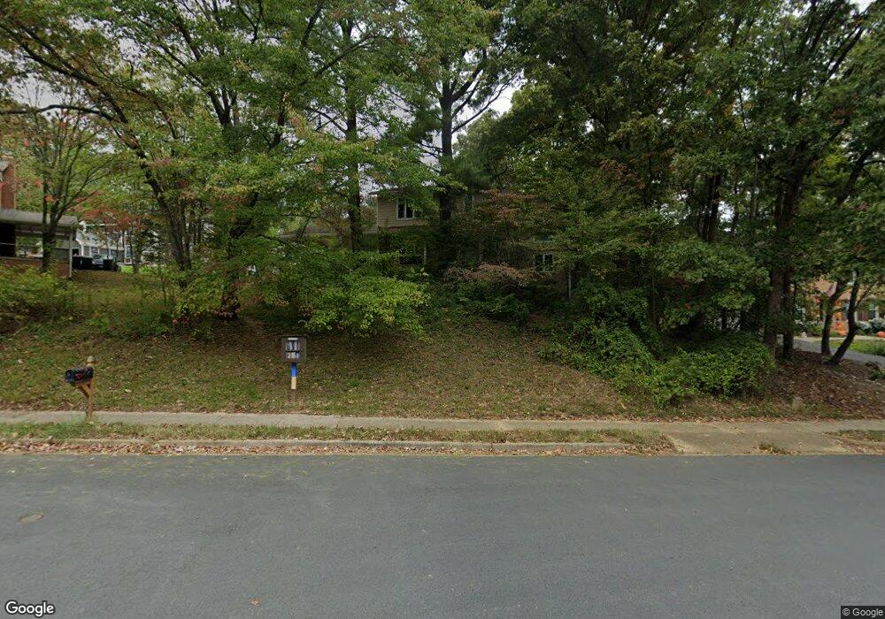
11005 Ring Rd Reston, VA 20190
Tall Oaks/Uplands NeighborhoodEstimated Value: $950,254 - $1,032,000
About This Home
This home is located at 11005 Ring Rd, Reston, VA 20190 and is currently estimated at $978,314, approximately $500 per square foot. 11005 Ring Rd is a home located in Fairfax County with nearby schools including Forest Edge Elementary, Langston Hughes Middle School, and South Lakes High School.
Ownership History
We collect this data history from publicly available records. To have your information removed, we recommend requesting removal directly through your county’s website.
Purchase Details
Purchase Details
Home Financials for this Owner
Home Financials are based on the most recent Mortgage that was taken out on this home.Purchase Details
Home Financials for this Owner
Home Financials are based on the most recent Mortgage that was taken out on this home.Purchase Details
Home Financials for this Owner
Home Financials are based on the most recent Mortgage that was taken out on this home.Home Values in the Area
Average Home Value in this Area
Purchase History
We collect this data history from publicly available records. To have your information removed, we recommend requesting removal directly through your county’s website.
| Date | Buyer | Sale Price | Title Company |
|---|---|---|---|
| -- | None Available | ||
| $645,000 | -- | ||
| $651,000 | -- | ||
| $400,000 | -- |
Mortgage History
We collect this data history from publicly available records. To have your information removed, we recommend requesting removal directly through your county’s website.
| Date | Status | Borrower | Loan Amount |
|---|---|---|---|
| Open | $483,750 | ||
| Previous Owner | $520,800 | ||
| Previous Owner | $252,000 |
Tax History
We collect this data history from publicly available records. To have your information removed, we recommend requesting removal directly through your county’s website.
| Year | Tax Paid | Tax Assessment Tax Assessment Total Assessment is a certain percentage of the fair market value that is determined by local assessors to be the total taxable value of land and additions on the property. | Land | Improvement |
|---|---|---|---|---|
| 2025 | $9,093 | $792,320 | $302,000 | $490,320 |
| 2024 | $9,093 | $754,320 | $282,000 | $472,320 |
| 2023 | $8,758 | $745,060 | $282,000 | $463,060 |
| 2022 | $8,106 | $680,890 | $252,000 | $428,890 |
| 2021 | $7,743 | $634,390 | $222,000 | $412,390 |
| 2020 | $7,041 | $572,180 | $222,000 | $350,180 |
| 2019 | $7,041 | $572,180 | $222,000 | $350,180 |
| 2018 | $6,523 | $567,180 | $217,000 | $350,180 |
| 2017 | $6,852 | $567,180 | $217,000 | $350,180 |
| 2016 | $6,292 | $521,970 | $217,000 | $304,970 |
| 2015 | $6,071 | $521,970 | $217,000 | $304,970 |
| 2014 | $5,863 | $505,240 | $212,000 | $293,240 |
Map
- 10801 Mason Hunt Ct
- 11100 Saffold Way
- 1327 Murray Downs Way
- 1387 Cameron Heath Dr
- 1498 Roundleaf Ct
- 11172 Forest Edge Dr
- 11170 Forest Edge Dr
- 1434 Yellowwood Ct
- 1417 Northgate Square Unit 1A
- 1552 Northgate Square Unit 12B
- 1554 1A Northgate Square Unit 1A
- 1558 Northgate Square Unit 32B
- 1533 Northgate Square Unit 11B
- 11103 Burywood Ln
- 1422 Northgate Square Unit 12B
- 1422 Northgate Square Unit 22/1A
- 1443 Northgate Square Unit 22B
- 1540 Northgate Square Unit 21B
- 1321 Hunter Mill Rd
- 1284 Cobble Pond Way
- 11007 Ring Rd
- 11011 Ring Rd
- 11009 Ring Rd
- 10915 Hunt Club Rd
- 11013 Ring Rd
- 11003 Ring Rd
- 1403 Earnshaw Ct
- 10922 Thanlet Ln
- 10914 Hunt Club Rd
- 1401 Earnshaw Ct
- 10913 Hunt Club Rd
- 10920 Thanlet Ln
- 11006 Ring Rd
- 11001 Ring Rd
- 1400 Earnshaw Ct
- 1405 Earnshaw Ct
- 10911 Hunt Club Rd
- 10921 Thanlet Ln
- 11004 Ring Rd
- 10918 Thanlet Ln
Ask me questions while you tour the home.