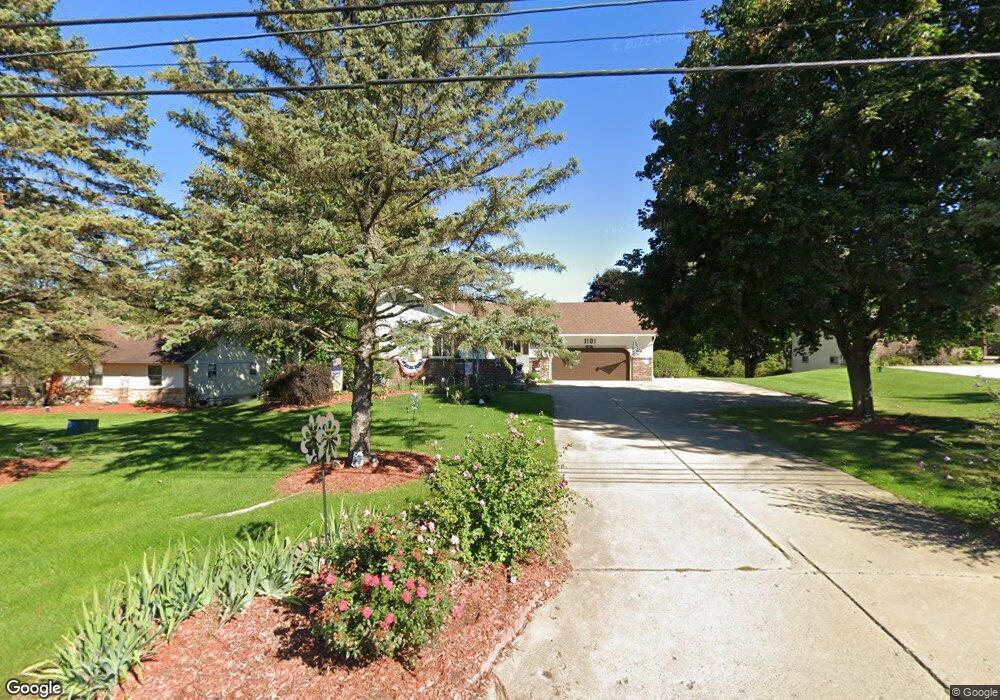
1101 Turner St Dewitt, MI 48820
Estimated Value: $304,104 - $447,000
3
Beds
3
Baths
2,952
Sq Ft
$129/Sq Ft
Est. Value
About This Home
This home is located at 1101 Turner St, Dewitt, MI 48820 and is currently estimated at $382,276, approximately $129 per square foot. 1101 Turner St is a home located in Clinton County with nearby schools including Schavey Road Elementary School, Scott Elementary School, and Herbison Woods Elementary School.
Ownership History
Date
Name
Owned For
Owner Type
Purchase Details
Closed on
Apr 16, 2015
Sold by
Cook Richard and Kay Sandra
Bought by
Cook Trust and Cook
Current Estimated Value
Purchase Details
Closed on
Mar 14, 2008
Sold by
Galbraith Daniel and Galbraith Ruthann M
Bought by
Cook Richard A and Cook Sandra K
Home Financials for this Owner
Home Financials are based on the most recent Mortgage that was taken out on this home.
Original Mortgage
$183,296
Interest Rate
5.75%
Mortgage Type
VA
Create a Home Valuation Report for This Property
The Home Valuation Report is an in-depth analysis detailing your home's value as well as a comparison with similar homes in the area
Home Values in the Area
Average Home Value in this Area
Purchase History
| Date | Buyer | Sale Price | Title Company |
|---|---|---|---|
| Cook Trust | -- | None Listed On Document | |
| Cook Richard A | $179,000 | Tri County Title Agency Llc |
Source: Public Records
Mortgage History
| Date | Status | Borrower | Loan Amount |
|---|---|---|---|
| Previous Owner | Cook Richard A | $183,296 |
Source: Public Records
Tax History
| Year | Tax Paid | Tax Assessment Tax Assessment Total Assessment is a certain percentage of the fair market value that is determined by local assessors to be the total taxable value of land and additions on the property. | Land | Improvement |
|---|---|---|---|---|
| 2025 | -- | $162,300 | $23,000 | $139,300 |
| 2024 | $35 | $150,900 | $21,100 | $129,800 |
| 2023 | $3,734 | $139,400 | $0 | $0 |
| 2022 | $4,276 | $127,100 | $20,000 | $107,100 |
| 2021 | $4,141 | $122,200 | $20,000 | $102,200 |
| 2020 | $4,045 | $118,000 | $19,100 | $98,900 |
| 2019 | $3,901 | $109,900 | $19,100 | $90,800 |
| 2018 | $3,792 | $103,000 | $19,100 | $83,900 |
| 2017 | $3,698 | $101,500 | $16,400 | $85,100 |
| 2016 | $3,693 | $95,900 | $16,400 | $79,500 |
| 2015 | -- | $89,700 | $0 | $0 |
| 2011 | -- | $82,200 | $0 | $0 |
Source: Public Records
Map
Nearby Homes
- 603 Cherry St
- 1448 Primrose Ln
- 1465 Primrose Ln
- 12441 Oakland Hills Dr
- 12719 Houghton Dr
- 12359 Mission Hills Dr
- 13282 Blaisdell Dr
- 12719 Ontonagon Dr
- 513 N Scott St
- 1226 S Geneva Dr
- 12565 McKouen Dr
- 1349 Poppy Ln
- 1306 Schavey Rd
- 1605 Stauffer Ln
- 3421 Hawthorne Woods Pkwy
- 3343 Silverspring Dr
- 2407 W Clark Rd
- 13865 Kaleidoscope Dr
- 13871 Kaleidoscope Dr
- 3783 Wisteria Ln
Your Personal Tour Guide
Ask me questions while you tour the home.