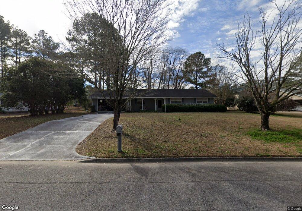
1102 Robin Dr Thomasville, GA 31792
Estimated Value: $162,000 - $213,000
3
Beds
2
Baths
1,288
Sq Ft
$148/Sq Ft
Est. Value
About This Home
This home is located at 1102 Robin Dr, Thomasville, GA 31792 and is currently estimated at $190,318, approximately $147 per square foot. 1102 Robin Dr is a home located in Thomas County with nearby schools including Thomasville High School, Bishop Hall Charter School, and Thomasville Christian School.
Ownership History
Date
Name
Owned For
Owner Type
Purchase Details
Closed on
Jun 29, 2022
Sold by
Stout Doris E
Bought by
Kona Rentals Llc
Current Estimated Value
Home Financials for this Owner
Home Financials are based on the most recent Mortgage that was taken out on this home.
Original Mortgage
$92,003
Outstanding Balance
$28,481
Interest Rate
5.09%
Mortgage Type
Mortgage Modification
Estimated Equity
$161,837
Purchase Details
Closed on
Jun 15, 1999
Sold by
Jensen Mary Lynn G
Bought by
Stout Edwin E
Purchase Details
Closed on
May 31, 1983
Bought by
Jensen Mary Lynn G
Create a Home Valuation Report for This Property
The Home Valuation Report is an in-depth analysis detailing your home's value as well as a comparison with similar homes in the area
Purchase History
| Date | Buyer | Sale Price | Title Company |
|---|---|---|---|
| Kona Rentals Llc | $90,576 | -- | |
| Stout Edwin E | $74,000 | -- | |
| Jensen Mary Lynn G | -- | -- |
Source: Public Records
Mortgage History
| Date | Status | Borrower | Loan Amount |
|---|---|---|---|
| Open | Kona Rentals Llc | $92,003 |
Source: Public Records
Tax History
| Year | Tax Paid | Tax Assessment Tax Assessment Total Assessment is a certain percentage of the fair market value that is determined by local assessors to be the total taxable value of land and additions on the property. | Land | Improvement |
|---|---|---|---|---|
| 2025 | $1,760 | $73,560 | $11,301 | $62,259 |
| 2024 | $1,718 | $71,279 | $11,301 | $59,978 |
| 2023 | $896 | $63,877 | $11,301 | $52,576 |
| 2022 | $526 | $56,176 | $9,827 | $46,349 |
| 2021 | $457 | $44,399 | $9,827 | $34,572 |
| 2020 | $474 | $45,023 | $9,827 | $35,196 |
| 2019 | $459 | $43,173 | $9,827 | $33,346 |
| 2018 | $442 | $42,814 | $9,827 | $32,987 |
| 2017 | $395 | $37,688 | $7,951 | $29,737 |
| 2016 | $388 | $37,049 | $7,951 | $29,098 |
| 2015 | $387 | $36,535 | $7,415 | $29,120 |
| 2014 | $367 | $34,421 | $7,415 | $27,006 |
| 2013 | -- | $34,421 | $7,414 | $27,006 |
Source: Public Records
Map
Nearby Homes
- 1014 Robin Dr
- 106 Ayries Dr
- 106 High Colony Ln
- 116 Ayries Dr
- 1107 Bluebird Ave
- 1302 Bluebird Ave
- 1326 N Pinetree Blvd
- 150 Braleigh Ln
- 139 Braleigh Ln
- 119 Braleigh Ln
- 134 Braleigh Ln
- 150 Kenley Ln
- 109 Kenley Ln
- 110 Celeste Ct
- 133 Kenley Ln
- 117 Celeste Ct
- 114 Celeste Ct
- 1515 Valwood Ave
- 304 Knotted Pine Ln
- 711 N Pinetree Blvd
Your Personal Tour Guide
Ask me questions while you tour the home.