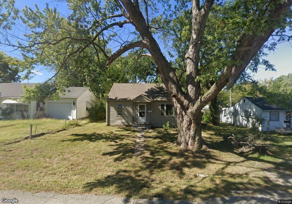
1104 S Savage St Independence, MO 64050
Benton NeighborhoodEstimated Value: $123,000 - $140,000
About This Home
This home is located at 1104 S Savage St, Independence, MO 64050 and is currently estimated at $134,310, approximately $163 per square foot. 1104 S Savage St is a home located in Jackson County with nearby schools including Thomas Hart Benton Elementary School, Bridger Middle School, and Bingham Middle School.
Ownership History
We collect this data history from publicly available records. To have your information removed, we recommend requesting removal directly through your county’s website.
Purchase Details
Purchase Details
Purchase Details
Home Values in the Area
Average Home Value in this Area
Purchase History
We collect this data history from publicly available records. To have your information removed, we recommend requesting removal directly through your county’s website.
| Date | Buyer | Sale Price | Title Company |
|---|---|---|---|
| -- | First American Title Ins Co | ||
| -- | -- | ||
| $30,290 | -- |
Tax History
We collect this data history from publicly available records. To have your information removed, we recommend requesting removal directly through your county’s website.
| Year | Tax Paid | Tax Assessment Tax Assessment Total Assessment is a certain percentage of the fair market value that is determined by local assessors to be the total taxable value of land and additions on the property. | Land | Improvement |
|---|---|---|---|---|
| 2025 | $1,368 | $14,323 | $3,392 | $10,931 |
| 2024 | $1,909 | $14,459 | $2,628 | $11,831 |
| 2023 | $1,909 | $14,459 | $2,628 | $11,831 |
| 2022 | $800 | $10,830 | $1,316 | $9,514 |
| 2021 | $800 | $10,830 | $1,316 | $9,514 |
| 2020 | $789 | $10,379 | $1,316 | $9,063 |
| 2019 | $776 | $10,379 | $1,316 | $9,063 |
| 2018 | $707 | $9,033 | $1,145 | $7,888 |
| 2017 | $707 | $9,033 | $1,145 | $7,888 |
| 2016 | $697 | $8,807 | $1,566 | $7,241 |
| 2014 | $662 | $8,550 | $1,520 | $7,030 |
Map
- 1215 E South Ave
- 1103 S Kings Hwy
- 1124 S Haden St
- 930 E Stone St
- 808 S Savage St
- 915 S Pope Ave
- 1311 S Crane St
- 805 S Logan Ave
- 715 S Savage St
- 1102 S Leslie Ave
- 701 S Savage St
- 1103 E Pacific Ave
- 1315 S Pope Ave
- 1412 S Logan Ave
- 801 S Crane St
- 704 E Hayward Ave
- 520 E Fair St
- 1024 E Gudgell Ave
- 1000 S Trail Ridge Dr
- 1129 S Dodgion Ave
- 1100 S Savage St
- 1100 E Stone St
- 1025 S Savage St
- 1020 S Savage St
- 1029 E Stone St
- 1101 E Stone St
- 1023 S Savage St
- 1106 S Savage St
- 1104 E Stone St
- 1107 S Savage St
- 1017 S Savage St
- 1105 E Stone St
- 1000 S Savage St
- 1108 S Savage St
- 1201 E South Ave
- 1109 S Savage St
- 1106 E Stone St
- 1023 E Stone St
- 1101 E South Ave
- 1109 E Stone St
Ask me questions while you tour the home.