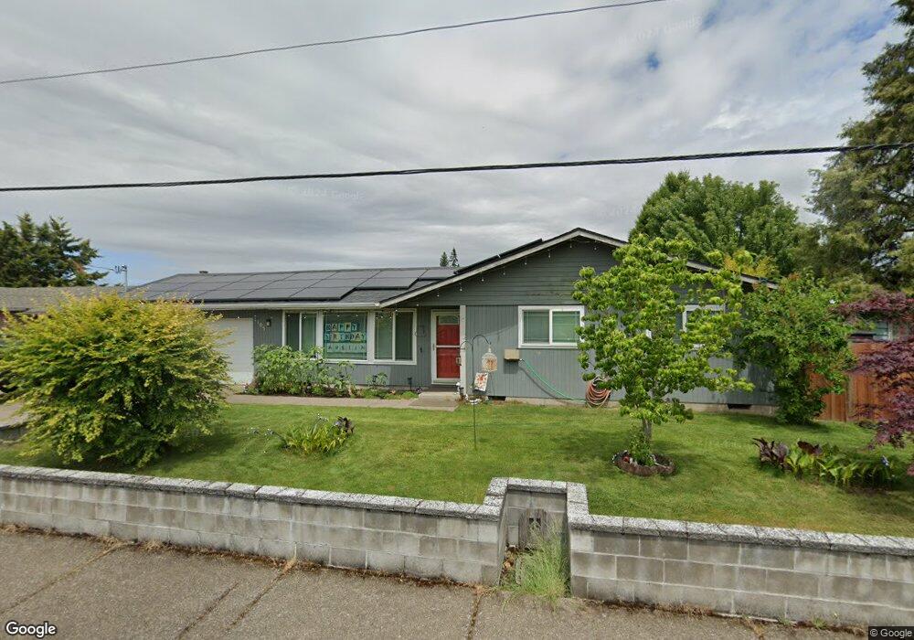
1105 Clinton Dr Eugene, OR 97401
Cal Young NeighborhoodEstimated Value: $424,923 - $494,000
3
Beds
2
Baths
1,266
Sq Ft
$356/Sq Ft
Est. Value
About This Home
This home is located at 1105 Clinton Dr, Eugene, OR 97401 and is currently estimated at $450,481, approximately $355 per square foot. 1105 Clinton Dr is a home located in Lane County with nearby schools including Willagillespie Elementary School, Cal Young Middle School, and Sheldon High School.
Ownership History
Date
Name
Owned For
Owner Type
Purchase Details
Closed on
Apr 25, 2008
Sold by
Johnson Taira Jean
Bought by
Mccord Joel M
Current Estimated Value
Purchase Details
Closed on
Jun 28, 2005
Sold by
Doe Carl Dennis and Doe Susan Geertsen
Bought by
Mccord Joel
Home Financials for this Owner
Home Financials are based on the most recent Mortgage that was taken out on this home.
Original Mortgage
$39,400
Interest Rate
5.65%
Mortgage Type
Stand Alone Second
Create a Home Valuation Report for This Property
The Home Valuation Report is an in-depth analysis detailing your home's value as well as a comparison with similar homes in the area
Home Values in the Area
Average Home Value in this Area
Purchase History
| Date | Buyer | Sale Price | Title Company |
|---|---|---|---|
| Mccord Joel M | -- | Accommodation | |
| Mccord Joel | $197,000 | Western Title & Escrow Compa |
Source: Public Records
Mortgage History
| Date | Status | Borrower | Loan Amount |
|---|---|---|---|
| Previous Owner | Mccord Joel | $39,400 | |
| Previous Owner | Mccord Joel | $157,600 |
Source: Public Records
Tax History
| Year | Tax Paid | Tax Assessment Tax Assessment Total Assessment is a certain percentage of the fair market value that is determined by local assessors to be the total taxable value of land and additions on the property. | Land | Improvement |
|---|---|---|---|---|
| 2025 | $4,145 | $212,725 | -- | -- |
| 2024 | $4,093 | $206,530 | -- | -- |
| 2023 | $4,093 | $200,515 | $0 | $0 |
| 2022 | $3,835 | $194,675 | $0 | $0 |
| 2021 | $3,602 | $189,005 | $0 | $0 |
| 2020 | $3,614 | $183,500 | $0 | $0 |
| 2019 | $3,491 | $178,156 | $0 | $0 |
| 2018 | $3,286 | $167,929 | $0 | $0 |
| 2017 | $3,139 | $167,929 | $0 | $0 |
| 2016 | $2,976 | $163,038 | $0 | $0 |
| 2015 | $2,851 | $158,289 | $0 | $0 |
| 2014 | $2,757 | $153,679 | $0 | $0 |
Source: Public Records
Map
Nearby Homes
- 0 Butte Ln
- 1230 Debrick Rd
- 0 Crenshaw Rd Unit 740506614
- 1230 Evening Star Ln
- 1282 Evening Star Ln
- 996 Sherwood Place
- 1376 Brickley Rd
- 410 Spyglass Dr
- 516 Spyglass Dr
- 875 Sand Ave
- 1328 Spyglass Dr
- 0 Piper Ln Unit Lot 1
- 0 Piper Ln Unit Lot 3
- 0 Piper Ln Unit Lot 2
- 0 Piper Ln Unit Lot 5
- 982 Shaughnessy Ln
- 1500 Norkenzie Rd Unit 12
- 1625 Monterey Ln
- 1332 Jeppesen Ave
- 0 Cal Young Rd Unit Lot 4
- 1103 Clinton Dr
- 1111 Clinton Dr
- 1115 Clinton Dr
- 1110 Clinton Dr
- 1112 Clinton Dr
- 1106 Clinton Dr
- 1127 Clinton Dr
- 1135 Clinton Dr
- 1085 Clinton Dr
- 1162 Lorella Ave
- 1122 Naomi Ct
- 1230 Peever St
- 1154 Clinton Dr
- 1102 Clinton Dr
- 1143 Clinton Dr
- 1171 Valley Butte Dr
- 1150 Naomi Ct
- 1126 Naomi Ct
- 1055 Clinton Dr
- 1220 Peever St
Your Personal Tour Guide
Ask me questions while you tour the home.