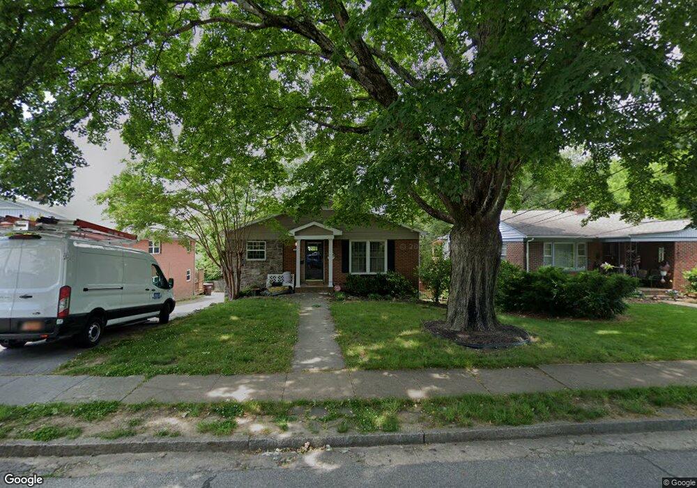
1105 Council St High Point, NC 27262
Greater High Point NeighborhoodEstimated Value: $240,979 - $302,000
3
Beds
2
Baths
1,363
Sq Ft
$205/Sq Ft
Est. Value
About This Home
This home is located at 1105 Council St, High Point, NC 27262 and is currently estimated at $278,745, approximately $204 per square foot. 1105 Council St is a home located in Guilford County with nearby schools including Northwood Elementary School, Ferndale Middle School, and High Point Central High School.
Ownership History
Date
Name
Owned For
Owner Type
Purchase Details
Closed on
Oct 28, 2011
Sold by
Keaton Sanders Erin J and Sanders Richard P
Bought by
Pruitt Heather L
Current Estimated Value
Home Financials for this Owner
Home Financials are based on the most recent Mortgage that was taken out on this home.
Original Mortgage
$139,127
Outstanding Balance
$95,918
Interest Rate
4.25%
Mortgage Type
FHA
Estimated Equity
$182,827
Purchase Details
Closed on
Jul 16, 2007
Sold by
Keaton Greg T
Bought by
Keaton Erin J
Home Financials for this Owner
Home Financials are based on the most recent Mortgage that was taken out on this home.
Original Mortgage
$92,700
Interest Rate
6.52%
Mortgage Type
New Conventional
Create a Home Valuation Report for This Property
The Home Valuation Report is an in-depth analysis detailing your home's value as well as a comparison with similar homes in the area
Home Values in the Area
Average Home Value in this Area
Purchase History
We collect this data history from publicly available records. To have your information removed, we recommend requesting removal directly through your county’s website.
| Date | Buyer | Sale Price | Title Company |
|---|---|---|---|
| Pruitt Heather L | $145,000 | None Available | |
| Keaton Erin J | -- | None Available |
Source: Public Records
Mortgage History
We collect this data history from publicly available records. To have your information removed, we recommend requesting removal directly through your county’s website.
| Date | Status | Borrower | Loan Amount |
|---|---|---|---|
| Open | Pruitt Heather L | $139,127 | |
| Previous Owner | Keaton Erin J | $92,700 |
Source: Public Records
Tax History
| Year | Tax Paid | Tax Assessment Tax Assessment Total Assessment is a certain percentage of the fair market value that is determined by local assessors to be the total taxable value of land and additions on the property. | Land | Improvement |
|---|---|---|---|---|
| 2025 | $2,077 | $150,700 | $30,000 | $120,700 |
| 2024 | $2,077 | $150,700 | $30,000 | $120,700 |
| 2023 | $2,077 | $150,700 | $30,000 | $120,700 |
| 2022 | $2,031 | $150,700 | $30,000 | $120,700 |
| 2021 | $1,815 | $131,700 | $25,000 | $106,700 |
| 2020 | $1,815 | $131,700 | $25,000 | $106,700 |
| 2019 | $1,815 | $131,700 | $0 | $0 |
| 2018 | $1,806 | $131,700 | $0 | $0 |
| 2017 | $1,806 | $131,700 | $0 | $0 |
| 2016 | $1,945 | $138,700 | $0 | $0 |
| 2015 | $1,956 | $138,700 | $0 | $0 |
| 2014 | $1,989 | $138,700 | $0 | $0 |
Source: Public Records
Map
Nearby Homes
- 705 Delmont St
- 609 Delmont St
- 710 Delmont St
- 601 Colonial Dr
- 803 Sunset Dr
- 711 Quaker Ln
- 514 W Parkway Ave
- 638 Colonial Dr
- 309 Otteray Ave
- 210 W Parkway Ave
- 1103 N Rotary Dr
- 810 Ferndale Blvd
- 1007 N Rotary Dr
- 919 N Rotary Dr
- 510 Otteray Ave
- 210 Edgedale Dr
- 531 N Hamilton St Unit L
- 405 Edgedale Dr
- 1102 Johnson St
- 413 Edgedale Dr
- 1101 Council St
- 1103 Council St
- 602 W Ray Ave
- 603 W Ray Ave
- 1015 Council St
- 512 W Ray Ave
- 604 W Ray Ave
- 1102 Council St
- 1107 Council St
- 607 W Ray Ave
- 513 W Ray Ave
- 1109 Council St
- 1106 Council St
- 609 W Ray Ave
- 1106 Clyde Place
- 511 W Ray Ave
- 1108 Clyde Place
- 1108 Council St
- 509 W Ray Ave
- 504 W Ray Ave
Your Personal Tour Guide
Ask me questions while you tour the home.