1105 Normandy Trace Rd Tampa, FL 33602
Harbour Island NeighborhoodEstimated Value: $419,603 - $468,000
2
Beds
2
Baths
1,068
Sq Ft
$417/Sq Ft
Est. Value
About This Home
This home is located at 1105 Normandy Trace Rd, Tampa, FL 33602 and is currently estimated at $445,151, approximately $416 per square foot. 1105 Normandy Trace Rd is a home located in Hillsborough County with nearby schools including Gorrie Elementary School, Wilson Middle School, and Plant High School.
Ownership History
Date
Name
Owned For
Owner Type
Purchase Details
Closed on
Apr 29, 2013
Sold by
Bauer Sandra Elizabeth
Bought by
Chall Marilyn
Current Estimated Value
Home Financials for this Owner
Home Financials are based on the most recent Mortgage that was taken out on this home.
Original Mortgage
$73,500
Outstanding Balance
$49,599
Interest Rate
2.75%
Mortgage Type
New Conventional
Estimated Equity
$395,552
Purchase Details
Closed on
Jan 31, 2012
Sold by
Bauer Greg Stephen
Bought by
Bauer Sandra Elizabeth
Purchase Details
Closed on
Sep 5, 2001
Sold by
Harbour Place Dev
Bought by
Bauer Greg S
Home Financials for this Owner
Home Financials are based on the most recent Mortgage that was taken out on this home.
Original Mortgage
$124,720
Interest Rate
7.02%
Mortgage Type
New Conventional
Create a Home Valuation Report for This Property
The Home Valuation Report is an in-depth analysis detailing your home's value as well as a comparison with similar homes in the area
Home Values in the Area
Average Home Value in this Area
Purchase History
We collect this data history from publicly available records. To have your information removed, we recommend requesting removal directly through your county’s website.
| Date | Buyer | Sale Price | Title Company |
|---|---|---|---|
| Chall Marilyn | $150,000 | Paramount Title Corporation | |
| Bauer Sandra Elizabeth | $135,000 | Attorney | |
| Bauer Greg S | $155,900 | -- |
Source: Public Records
Mortgage History
We collect this data history from publicly available records. To have your information removed, we recommend requesting removal directly through your county’s website.
| Date | Status | Borrower | Loan Amount |
|---|---|---|---|
| Open | Chall Marilyn | $73,500 | |
| Previous Owner | Bauer Greg S | $152,000 | |
| Previous Owner | Bauer Greg S | $124,720 |
Source: Public Records
Tax History
| Year | Tax Paid | Tax Assessment Tax Assessment Total Assessment is a certain percentage of the fair market value that is determined by local assessors to be the total taxable value of land and additions on the property. | Land | Improvement |
|---|---|---|---|---|
| 2025 | $7,200 | $381,613 | $100 | $381,513 |
| 2024 | $7,200 | $393,881 | $100 | $393,781 |
| 2023 | $6,774 | $390,714 | $100 | $390,614 |
| 2022 | $6,248 | $364,224 | $100 | $364,124 |
| 2021 | $5,507 | $279,401 | $100 | $279,301 |
| 2020 | $5,041 | $253,992 | $100 | $253,892 |
| 2019 | $5,002 | $249,709 | $100 | $249,609 |
| 2018 | $3,104 | $194,742 | $0 | $0 |
| 2017 | $3,133 | $213,899 | $0 | $0 |
| 2016 | $3,038 | $186,814 | $0 | $0 |
| 2015 | $3,506 | $166,398 | $0 | $0 |
| 2014 | -- | $154,229 | $0 | $0 |
| 2013 | -- | $126,793 | $0 | $0 |
Source: Public Records
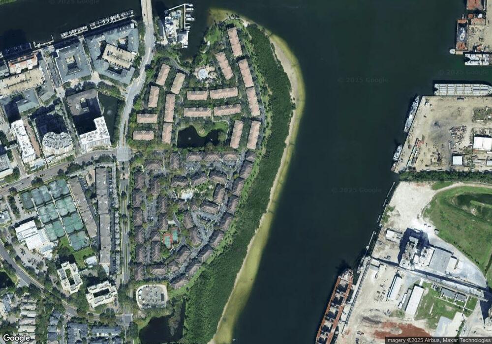
Map
Nearby Homes
- 756 Coral Reef Dr
- 625 Tropical Breeze Way
- 609 Tropical Breeze Way Unit 609
- 775 Mainsail Dr Unit 775
- 1037 Normandy Trace Rd
- 1022 Normandy Trace Rd
- 913 Normandy Trace Rd
- 501 Knights Run Ave Unit 4107
- 501 Knights Run Ave Unit 1332
- 501 Knights Run Ave Unit 1310
- 501 Knights Run Ave Unit 6103
- 501 Knights Run Ave Unit 2304
- 501 Knights Run Ave Unit 2106
- 501 Knights Run Ave Unit 1215
- 501 Knights Run Ave Unit 2307
- 501 Knights Run Ave Unit 6101
- 501 Knights Run Ave Unit 1234
- 501 Knights Run Ave Unit 2202
- 501 Knights Run Ave Unit 4102
- 501 Knights Run Ave Unit 1320
- 755 Cruise View Dr
- 750 Coral Reef Dr
- 751 Cruise View Dr
- 756 Coral Reef Dr Unit 756
- 751 Cruise View Dr Unit 751
- 754 Coral Reef Dr
- 761 Cruise View Dr Unit 761
- 761 Cruise View Dr
- 759 Cruise View Dr Unit 759
- 759 Cruise View Dr
- 759 Cruise View Dr
- 753 Cruise View Dr
- 758 Coral Reef Dr Unit 9758
- 758 Coral Reef Dr Unit 758
- 752 Coral Reef Dr
- 763 Cruise View Dr
- 757 Cruise View Dr Unit 9757
- 715 Cruise View Dr Unit n/a
- 715 Cruise View Dr
- 762 Coral Reef Dr
Your Personal Tour Guide
Ask me questions while you tour the home.