Estimated Value: $165,000 - $224,000
Studio
1
Bath
1,176
Sq Ft
$160/Sq Ft
Est. Value
About This Home
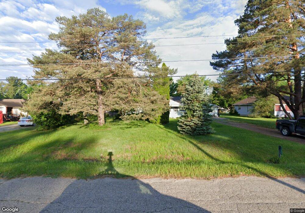
This home is located at 11069 Bare Dr Unit Bldg-Unit, Clio, MI 48420 and is currently estimated at $187,781, approximately $159 per square foot. 11069 Bare Dr Unit Bldg-Unit is a home located in Genesee County with nearby schools including George R. Carter Middle School and Clio Area High School.
Ownership History
Date
Name
Owned For
Owner Type
Purchase Details
Closed on
Jun 22, 2018
Sold by
Miller Russell Owen
Bought by
Smiht Amy Marie
Current Estimated Value
Home Financials for this Owner
Home Financials are based on the most recent Mortgage that was taken out on this home.
Original Mortgage
$126,564
Outstanding Balance
$109,702
Interest Rate
4.6%
Mortgage Type
FHA
Estimated Equity
$78,079
Purchase Details
Closed on
Jan 17, 2018
Sold by
Axtell Judith L and Cutcher Judith L
Bought by
Miller Russell Owen
Home Financials for this Owner
Home Financials are based on the most recent Mortgage that was taken out on this home.
Original Mortgage
$55,875
Interest Rate
3.93%
Mortgage Type
New Conventional
Create a Home Valuation Report for This Property
The Home Valuation Report is an in-depth analysis detailing your home's value as well as a comparison with similar homes in the area
Home Values in the Area
Average Home Value in this Area
Purchase History
| Date | Buyer | Sale Price | Title Company |
|---|---|---|---|
| Smiht Amy Marie | $128,900 | First Amer Title Ins Co | |
| Miller Russell Owen | $74,500 | First American Title |
Source: Public Records
Mortgage History
| Date | Status | Borrower | Loan Amount |
|---|---|---|---|
| Open | Smiht Amy Marie | $126,564 | |
| Previous Owner | Miller Russell Owen | $55,875 |
Source: Public Records
Tax History
| Year | Tax Paid | Tax Assessment Tax Assessment Total Assessment is a certain percentage of the fair market value that is determined by local assessors to be the total taxable value of land and additions on the property. | Land | Improvement |
|---|---|---|---|---|
| 2025 | $1,960 | $75,200 | $0 | $0 |
| 2024 | $802 | $66,700 | $0 | $0 |
| 2023 | $765 | $63,400 | $0 | $0 |
| 2022 | $1,729 | $58,200 | $0 | $0 |
| 2021 | $1,708 | $52,300 | $0 | $0 |
| 2020 | $700 | $48,400 | $0 | $0 |
| 2019 | $639 | $44,000 | $0 | $0 |
| 2018 | $1,099 | $37,200 | $0 | $0 |
| 2017 | $1,047 | $37,200 | $0 | $0 |
| 2016 | $1,040 | $30,800 | $0 | $0 |
| 2015 | $1,040 | $29,900 | $0 | $0 |
| 2012 | -- | $30,000 | $30,000 | $0 |
Source: Public Records
Map
Nearby Homes
- 11209 Phyllis Dr
- 11096 N Jennings Rd
- 3172 Quail Ridge Ct
- 11159 Pheasant Run Dr
- 3166 Quail Ridge Ct
- 10368 N Jennings Rd
- 11269 N Jennings Rd
- 11402 Hidden Oaks Dr Unit 41
- 11410 Hidden Oaks Dr
- 608 Stone Creek Pass Unit 14
- 11426 Hidden Oaks Dr
- 11430 Hidden Oaks Dr
- 11434 Hidden Oaks Dr
- 11449 Hidden Oaks Dr
- 4093 Libbie Dr
- 11453 Hidden Oaks Dr
- 11457 Hidden Oaks Dr Unit 12
- 11461 Hidden Oaks Dr Unit 11
- 11421 Wing Dr
- 11470 Wing Dr
- 11069 Bare Dr
- 11079 Bare Dr
- 11059 Bare Dr
- 11070 Phyllis Dr
- 11089 Bare Dr
- 11049 Bare Dr
- 11080 Phyllis Dr
- 11060 Phyllis Dr
- 11078 Bare Dr
- 11068 Bare Dr
- 11090 Phyllis Dr
- 11050 Phyllis Dr
- 11088 Bare Dr
- 11058 Bare Dr
- 11099 Bare Dr
- 11039 Bare Dr
- 11098 Bare Dr
- 11100 Phyllis Dr
- 11040 Phyllis Dr
- 11048 Bare Dr
Your Personal Tour Guide
Ask me questions while you tour the home.