Estimated Value: $294,000 - $325,000
3
Beds
1
Bath
1,664
Sq Ft
$186/Sq Ft
Est. Value
About This Home
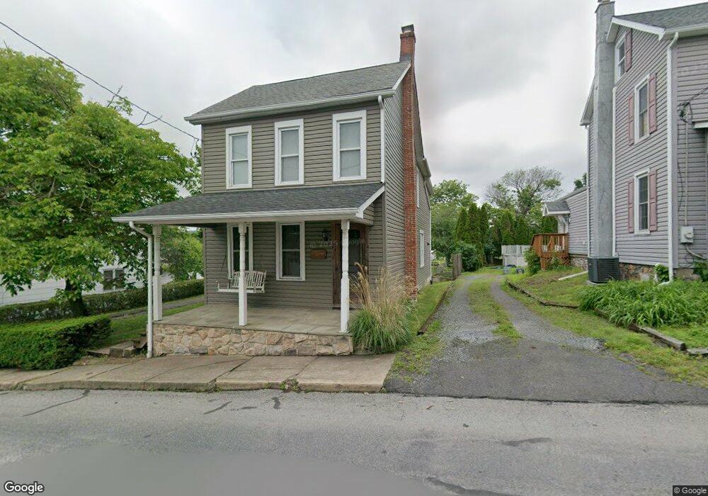
This home is located at 1107 Station Rd, Palm, PA 18070 and is currently estimated at $308,877, approximately $185 per square foot. 1107 Station Rd is a home located in Montgomery County with nearby schools including Upper Perkiomen 4th & 5th Grade Center, Upper Perkiomen Middle School, and Upper Perkiomen High School.
Ownership History
Date
Name
Owned For
Owner Type
Purchase Details
Closed on
Apr 22, 2005
Sold by
Barker Michael E and Barker Kristen
Bought by
Cawthern Robert D
Current Estimated Value
Home Financials for this Owner
Home Financials are based on the most recent Mortgage that was taken out on this home.
Original Mortgage
$136,000
Outstanding Balance
$72,985
Interest Rate
6.4%
Mortgage Type
Purchase Money Mortgage
Estimated Equity
$235,892
Purchase Details
Closed on
Jul 27, 2004
Sold by
Fitzgerald Henry L and Fitzgerald Ruth
Bought by
Barker Michael E and Barker Kristen
Create a Home Valuation Report for This Property
The Home Valuation Report is an in-depth analysis detailing your home's value as well as a comparison with similar homes in the area
Home Values in the Area
Average Home Value in this Area
Purchase History
| Date | Buyer | Sale Price | Title Company |
|---|---|---|---|
| Cawthern Robert D | $170,000 | -- | |
| Barker Michael E | $115,000 | First American Title Ins Co |
Source: Public Records
Mortgage History
| Date | Status | Borrower | Loan Amount |
|---|---|---|---|
| Open | Cawthern Robert D | $136,000 | |
| Closed | Barker Michael E | $0 |
Source: Public Records
Tax History
| Year | Tax Paid | Tax Assessment Tax Assessment Total Assessment is a certain percentage of the fair market value that is determined by local assessors to be the total taxable value of land and additions on the property. | Land | Improvement |
|---|---|---|---|---|
| 2025 | $3,704 | $110,500 | $41,130 | $69,370 |
| 2024 | $3,704 | $110,500 | $41,130 | $69,370 |
| 2023 | $3,528 | $110,500 | $41,130 | $69,370 |
| 2022 | $3,480 | $110,500 | $41,130 | $69,370 |
| 2021 | $3,392 | $110,500 | $41,130 | $69,370 |
| 2020 | $3,373 | $110,500 | $41,130 | $69,370 |
| 2019 | $3,297 | $110,500 | $41,130 | $69,370 |
Source: Public Records
Map
Nearby Homes
- 975 Gravel Pike
- 1092 Palm Hill Rd
- 0 Chestnut St
- 1101 Church Rd
- 328 Ashford Ln
- 117 Concord Dr
- 2100 Fox Hollow Ln
- 254 Liberty Cir
- 146 Main St
- 145 Main St
- 131 Jefferson St
- 122 Jefferson St
- 2645 W Buck Rd
- 149 Main St
- 321 Cherry St
- 7202 Stein Rd
- 1418-1/5 W 4th St
- 1418-1/2 W 4th St
- 6520 Granville Rd
- 517 W 5th St
- 1103 Station Rd
- 1109 Station Rd
- 1108 Station Rd
- 1112 Station Rd
- 1104 Station Rd
- 801 Gravel Pike
- 1102 Station Rd
- 803 Gravel Pike
- 1114 Station Rd
- 1106 Station Rd
- 1113 Station Rd
- 797 Gravel Pike
- 802 Gravel Pike
- 811 Gravel Pike
- 813A Main St
- 795 Gravel Pike
- 1115 Station Rd
- 1116 Station Rd Unit 17
- 813a Gravel Pike
- 1118 Station Rd
Your Personal Tour Guide
Ask me questions while you tour the home.