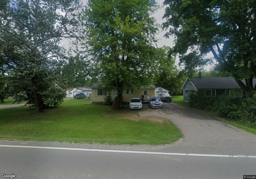
111 Burnside Rd North Branch, MI 48461
Estimated Value: $134,475 - $160,000
2
Beds
1
Bath
956
Sq Ft
$158/Sq Ft
Est. Value
About This Home
This home is located at 111 Burnside Rd, North Branch, MI 48461 and is currently estimated at $151,119, approximately $158 per square foot. 111 Burnside Rd is a home located in Lapeer County with nearby schools including North Branch Elementary School, North Branch Middle School, and Ruth Fox Middle School.
Ownership History
Date
Name
Owned For
Owner Type
Purchase Details
Closed on
Nov 18, 2024
Sold by
Bennett Frank and Bennett Judith
Bought by
Bennett Debra
Current Estimated Value
Purchase Details
Closed on
May 21, 1999
Sold by
Ruth Jason and Ruth Debra
Bought by
Bennet Frank and Bennet Judith
Purchase Details
Closed on
Jul 23, 1996
Sold by
Sweeney Doris J
Bought by
Ruth Jason and Ruth Debra
Purchase Details
Closed on
Oct 22, 1992
Sold by
Gerwolds Connie
Bought by
Doris Jean Sweeney
Create a Home Valuation Report for This Property
The Home Valuation Report is an in-depth analysis detailing your home's value as well as a comparison with similar homes in the area
Home Values in the Area
Average Home Value in this Area
Purchase History
| Date | Buyer | Sale Price | Title Company |
|---|---|---|---|
| Bennett Debra | -- | None Listed On Document | |
| Bennet Frank | $54,000 | -- | |
| Ruth Jason | $55,000 | -- | |
| Doris Jean Sweeney | $25,000 | -- | |
| Doris Jean Sweeney | $25,000 | -- |
Source: Public Records
Tax History
| Year | Tax Paid | Tax Assessment Tax Assessment Total Assessment is a certain percentage of the fair market value that is determined by local assessors to be the total taxable value of land and additions on the property. | Land | Improvement |
|---|---|---|---|---|
| 2025 | $1,171 | $59,100 | $0 | $0 |
| 2024 | $237 | $42,500 | $0 | $0 |
| 2023 | $227 | $36,000 | $0 | $0 |
| 2022 | $1,070 | $31,500 | $0 | $0 |
| 2021 | $1,013 | $30,100 | $0 | $0 |
| 2020 | $1,003 | $30,200 | $0 | $0 |
| 2019 | $998 | $25,000 | $0 | $0 |
| 2018 | $977 | $24,500 | $24,500 | $0 |
| 2017 | $963 | $21,400 | $0 | $0 |
| 2016 | $938 | $21,200 | $21,200 | $0 |
| 2015 | -- | $23,200 | $0 | $0 |
| 2014 | -- | $21,300 | $21,300 | $0 |
| 2013 | -- | $20,000 | $20,000 | $0 |
Source: Public Records
Map
Nearby Homes
- 5912 Falkenbury Rd
- 6179 Falkenbury Rd
- 6191 Falkenbury Rd
- 6438 N Lapeer Rd
- 0000 N Lapeer Rd N Lapeer Rd
- 267 W Barnes Lake Rd
- 1259 Lakeshore Dr
- 6449 Oliver Rd
- 494 W Barnes Lake Rd
- 0 Fonda Dr
- 710 Lakeshore Dr
- 293 Hickory Place Dr
- 10.10 ACRES Laur Rd
- 3419 Burnside Rd
- 757 W Barnes Lake Rd
- 5160 Laur Rd
- 4991 Millis Rd
- 2428 Burnside Rd
- 4662 N Lapeer Rd
- 6072 Fish Lake Rd
- 119 Burnside Rd
- 101 Burnside Rd
- 100 Burnside Rd
- 116 Burnside Rd
- 116 Burnside Rd
- 90 Burnside Rd
- 131 Burnside Rd
- 91 Burnside Rd
- 82 Burnside Rd
- 136 Burnside Rd Unit Bldg-Unit
- 72 Burnside Rd
- 72 Burnside Rd
- 139 Burnside Rd
- 83 Burnside Rd
- 148 Burnside Rd
- 148 Burnside Rd
- 66 Burnside Rd
- 124 Bindon Dr
- 150 Burnside Rd
- 104 Bindon Dr
Your Personal Tour Guide
Ask me questions while you tour the home.