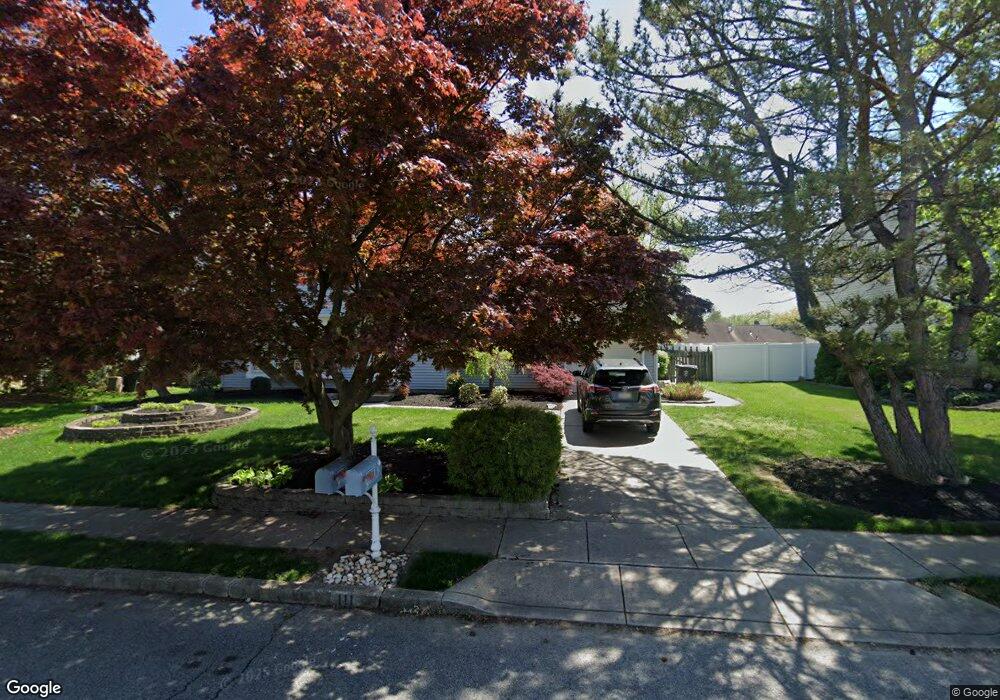
111 Coopers Kill Rd Delran, NJ 08075
Tenby Chase NeighborhoodEstimated Value: $435,866 - $494,000
3
Beds
2
Baths
1,600
Sq Ft
$290/Sq Ft
Est. Value
About This Home
This home is located at 111 Coopers Kill Rd, Delran, NJ 08075 and is currently estimated at $463,217, approximately $289 per square foot. 111 Coopers Kill Rd is a home located in Burlington County with nearby schools including Millbridge Elementary School, Delran Intermediate School, and Delran Middle School.
Ownership History
Date
Name
Owned For
Owner Type
Purchase Details
Closed on
Apr 28, 2011
Sold by
Brown Robert W and Brown Barbara M
Bought by
Corl Leon J and Corl Michelle
Current Estimated Value
Home Financials for this Owner
Home Financials are based on the most recent Mortgage that was taken out on this home.
Original Mortgage
$214,423
Outstanding Balance
$153,191
Interest Rate
5.5%
Mortgage Type
FHA
Estimated Equity
$310,026
Create a Home Valuation Report for This Property
The Home Valuation Report is an in-depth analysis detailing your home's value as well as a comparison with similar homes in the area
Home Values in the Area
Average Home Value in this Area
Purchase History
| Date | Buyer | Sale Price | Title Company |
|---|---|---|---|
| Corl Leon J | $220,000 | None Available |
Source: Public Records
Mortgage History
| Date | Status | Borrower | Loan Amount |
|---|---|---|---|
| Open | Corl Leon J | $214,423 |
Source: Public Records
Tax History
| Year | Tax Paid | Tax Assessment Tax Assessment Total Assessment is a certain percentage of the fair market value that is determined by local assessors to be the total taxable value of land and additions on the property. | Land | Improvement |
|---|---|---|---|---|
| 2025 | $8,866 | $223,000 | $65,000 | $158,000 |
| 2024 | $8,786 | $223,000 | $65,000 | $158,000 |
| 2023 | $8,786 | $223,000 | $65,000 | $158,000 |
| 2022 | $8,672 | $223,000 | $65,000 | $158,000 |
| 2021 | $8,677 | $223,000 | $65,000 | $158,000 |
| 2020 | $8,659 | $223,000 | $65,000 | $158,000 |
| 2019 | $8,579 | $223,000 | $65,000 | $158,000 |
| 2018 | $8,436 | $223,000 | $65,000 | $158,000 |
| 2017 | $8,302 | $223,000 | $65,000 | $158,000 |
| 2016 | $8,180 | $223,000 | $65,000 | $158,000 |
| 2015 | $8,044 | $223,000 | $65,000 | $158,000 |
| 2014 | $7,694 | $223,000 | $65,000 | $158,000 |
Source: Public Records
Map
Nearby Homes
- 102 Red Stone Ridge
- 139 Coopers Kill Rd
- 117 Randle Ct
- 108 Patricia Ave
- 119 Linda Ave
- 42 Cornell Dr
- 49 Haines Mill Rd
- 190 Westover Dr
- 4327 Bridgeboro Rd
- 51 Suburban Blvd
- 347 Tom Brown Rd
- 707 Parry Blvd
- 343 Tom Brown Rd
- 70 Suburban Blvd
- 4304 Bridgeboro Rd
- 6 Echo Ave
- 68 Janeway Ave
- 203 Congressional Ct
- 208 Congressional Ct
- 2105 Chestnut Hill Dr
- 109 Coopers Kill Rd
- 113 Coopers Kill Rd
- 318 Tenby Chase Dr
- 320 Tenby Chase Dr
- 316 Tenby Chase Dr
- 107 Coopers Kill Rd
- 115 Coopers Kill Rd
- 110 Coopers Kill Rd
- 108 Coopers Kill Rd
- 322 Tenby Chase Dr
- 112 Coopers Kill Rd
- 314 Tenby Chase Dr
- 117 Coopers Kill Rd
- 106 Coopers Kill Rd
- 105 Coopers Kill Rd
- 324 Tenby Chase Dr
- 312 Tenby Chase Dr
- 315 Tenby Chase Dr
- 317 Tenby Chase Dr
- 104 Coopers Kill Rd
Your Personal Tour Guide
Ask me questions while you tour the home.