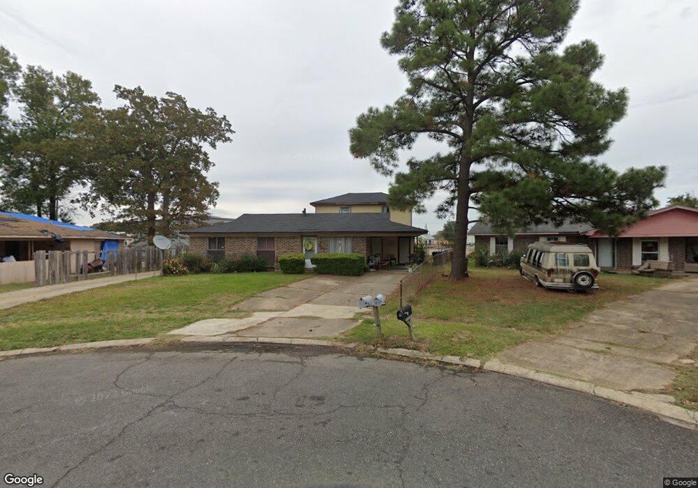
111 David Cir Monroe, LA 71202
Southside NeighborhoodEstimated Value: $51,000 - $75,000
3
Beds
2
Baths
1,137
Sq Ft
$53/Sq Ft
Est. Value
About This Home
This home is located at 111 David Cir, Monroe, LA 71202 and is currently estimated at $59,858, approximately $52 per square foot. 111 David Cir is a home located in Ouachita Parish with nearby schools including Swayze Elementary School, Richwood Junior High School, and Richwood High School.
Ownership History
Date
Name
Owned For
Owner Type
Purchase Details
Closed on
Aug 31, 2007
Sold by
Vintage Rentals 3 Llc
Bought by
I T L Rentals Llc
Current Estimated Value
Home Financials for this Owner
Home Financials are based on the most recent Mortgage that was taken out on this home.
Original Mortgage
$67,200
Outstanding Balance
$41,846
Interest Rate
6.7%
Mortgage Type
Future Advance Clause Open End Mortgage
Estimated Equity
$18,012
Create a Home Valuation Report for This Property
The Home Valuation Report is an in-depth analysis detailing your home's value as well as a comparison with similar homes in the area
Home Values in the Area
Average Home Value in this Area
Purchase History
| Date | Buyer | Sale Price | Title Company |
|---|---|---|---|
| I T L Rentals Llc | $84,000 | None Available |
Source: Public Records
Mortgage History
| Date | Status | Borrower | Loan Amount |
|---|---|---|---|
| Open | I T L Rentals Llc | $67,200 |
Source: Public Records
Tax History
| Year | Tax Paid | Tax Assessment Tax Assessment Total Assessment is a certain percentage of the fair market value that is determined by local assessors to be the total taxable value of land and additions on the property. | Land | Improvement |
|---|---|---|---|---|
| 2025 | $560 | $4,200 | $672 | $3,528 |
| 2024 | $560 | $4,200 | $672 | $3,528 |
| 2023 | $564 | $4,200 | $672 | $3,528 |
| 2022 | $544 | $4,200 | $672 | $3,528 |
| 2021 | $548 | $4,200 | $672 | $3,528 |
| 2020 | $548 | $4,200 | $672 | $3,528 |
| 2019 | $540 | $4,200 | $672 | $3,528 |
| 2018 | $515 | $4,200 | $672 | $3,528 |
| 2017 | $475 | $3,780 | $605 | $3,175 |
| 2016 | $386 | $4,200 | $672 | $3,528 |
| 2015 | $514 | $4,200 | $672 | $3,528 |
| 2014 | $514 | $4,200 | $672 | $3,528 |
| 2013 | $512 | $4,200 | $672 | $3,528 |
Source: Public Records
Map
Nearby Homes
- 104 Betty Dr
- 3751 U S 165
- 0 Garret Rd
- 108 Garden Park Dr
- 000 Dellwood Dr
- 000 U S 165
- 0 Richwood Road 1
- 713 Standifer Ave
- 2603 Georgia St
- 2601 Georgia St
- 2504 Georgia St
- 1702 Jackson St
- 409 Wilson St
- 206 Keeble Dr
- 703 Moore Ave
- 200 Evers Dr
- 209 Marx St
- 603 Benton Ave
- 310 Egan St Unit 2700 Maddox St
- 0 Marshall Dr Unit Memorial Dr. & Stacy
Your Personal Tour Guide
Ask me questions while you tour the home.