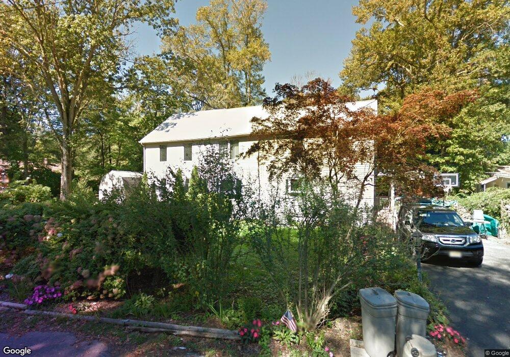
111 E Mae Ave Southampton, NJ 08088
Estimated Value: $341,548
Studio
--
Bath
3,004
Sq Ft
$114/Sq Ft
Est. Value
About This Home
This home is located at 111 E Mae Ave, Southampton, NJ 08088 and is currently estimated at $341,548, approximately $113 per square foot. 111 E Mae Ave is a home located in Burlington County with nearby schools including Southampton Twp School No 1, Southampton Twp School No 2, and Southampton Twp School No 3.
Ownership History
Date
Name
Owned For
Owner Type
Purchase Details
Closed on
Sep 30, 2020
Sold by
Buday Elizabeth O and Foster Laurence J
Bought by
Department Of Environmental Protection
Current Estimated Value
Purchase Details
Closed on
Feb 27, 2004
Sold by
Singer John Scott and Singer Donna
Bought by
Buday Elizabeth O
Home Financials for this Owner
Home Financials are based on the most recent Mortgage that was taken out on this home.
Original Mortgage
$155,120
Interest Rate
4.9%
Mortgage Type
Purchase Money Mortgage
Purchase Details
Closed on
Apr 26, 1994
Sold by
Singer John Scott and Singer Donna
Bought by
Singer John Scott and Singer Donna
Create a Home Valuation Report for This Property
The Home Valuation Report is an in-depth analysis detailing your home's value as well as a comparison with similar homes in the area
Home Values in the Area
Average Home Value in this Area
Purchase History
| Date | Buyer | Sale Price | Title Company |
|---|---|---|---|
| Department Of Environmental Protection | $235,656 | New Title Company Name | |
| Buday Elizabeth O | $193,900 | Group 21 Title Agency | |
| Singer John Scott | -- | Imperial Title Agency Inc |
Source: Public Records
Mortgage History
| Date | Status | Borrower | Loan Amount |
|---|---|---|---|
| Previous Owner | Buday Elizabeth O | $155,120 |
Source: Public Records
Tax History
| Year | Tax Paid | Tax Assessment Tax Assessment Total Assessment is a certain percentage of the fair market value that is determined by local assessors to be the total taxable value of land and additions on the property. | Land | Improvement |
|---|---|---|---|---|
| 2025 | -- | $118,200 | $56,600 | $61,600 |
| 2024 | -- | $118,200 | $56,600 | $61,600 |
| 2023 | -- | $118,200 | $56,600 | $61,600 |
| 2022 | -- | $118,200 | $56,600 | $61,600 |
| 2021 | $0 | $118,200 | $56,600 | $61,600 |
| 2020 | $3,466 | $118,200 | $56,600 | $61,600 |
| 2019 | $5,729 | $199,700 | $62,300 | $137,400 |
| 2018 | $5,596 | $199,700 | $62,300 | $137,400 |
| 2017 | $5,616 | $199,700 | $62,300 | $137,400 |
| 2016 | $5,496 | $199,700 | $62,300 | $137,400 |
| 2015 | $5,322 | $199,700 | $62,300 | $137,400 |
| 2014 | $5,134 | $199,700 | $62,300 | $137,400 |
Source: Public Records
Map
Nearby Homes
- 111 Carson Rd
- 170 Birmingham Rd
- 3 Horseshoe Bend
- 4 Creek Ln
- 721 Lucas Ln
- 79 Shamrock Ct
- 2430 Highway
- 2345 U S 206
- 195 N Pemberton Rd
- 421 Arneys Mount Birmingham Rd
- 1870 Route 38
- 9 Honey Locust Ln
- 21 Woodfield Cir
- 53 Arneys Mount Rd
- 9 Ariel Dr
- 38 Hearthstone Blvd
- 51 Arneys Mount Rd
- 141 Arneys Mount Rd
- 27 Simpkins Ln
- 40 Tower Blvd
- 113 E Mae Ave
- 107 E Mae Ave
- 112 E Mae Ave
- 115 E Mae Ave
- 110 E Mae Ave
- 114 E Mae Ave
- 105 E Mae Ave
- 108 E Mae Ave
- 117 E Mae Ave
- 103 E Mae Ave
- 102 E Mae Ave
- 119 E Mae Ave
- 118 E Mae Ave
- 101 E Mae Ave
- 830 Crystal Ave
- 828 Crystal Ave
- 83 W Mae Ave Unit F
- 83 W Mae Ave Unit E
- 83 W Mae Ave Unit D
- 83 W Mae Ave Unit C
Your Personal Tour Guide
Ask me questions while you tour the home.