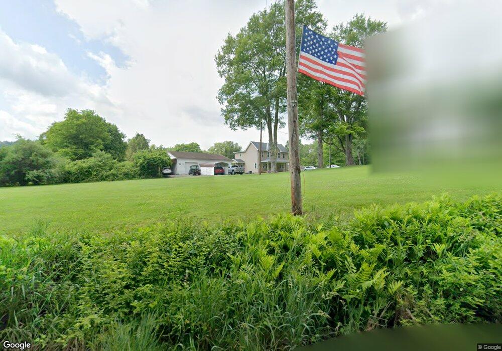
111 Elm Ln Freeport, PA 16229
Estimated Value: $222,000 - $261,000
3
Beds
1
Bath
1,744
Sq Ft
$139/Sq Ft
Est. Value
About This Home
This home is located at 111 Elm Ln, Freeport, PA 16229 and is currently estimated at $242,283, approximately $138 per square foot. 111 Elm Ln is a home with nearby schools including South Buffalo Elementary School and Freeport Area Senior High School.
Ownership History
Date
Name
Owned For
Owner Type
Purchase Details
Closed on
Oct 24, 2022
Sold by
Walter Edward P
Bought by
Mccormick Eryn Elizabeth and Mccormick Walter Matthew
Current Estimated Value
Home Financials for this Owner
Home Financials are based on the most recent Mortgage that was taken out on this home.
Original Mortgage
$182,750
Outstanding Balance
$175,674
Interest Rate
5.89%
Mortgage Type
New Conventional
Estimated Equity
$66,609
Purchase Details
Closed on
Sep 29, 2012
Sold by
Walter Edward P and Walter Michelle M
Bought by
Walter Edward P
Purchase Details
Closed on
Apr 18, 1994
Create a Home Valuation Report for This Property
The Home Valuation Report is an in-depth analysis detailing your home's value as well as a comparison with similar homes in the area
Home Values in the Area
Average Home Value in this Area
Purchase History
We collect this data history from publicly available records. To have your information removed, we recommend requesting removal directly through your county’s website.
| Date | Buyer | Sale Price | Title Company |
|---|---|---|---|
| Mccormick Eryn Elizabeth | $215,000 | Bankers Settlement & Abstract | |
| Walter Edward P | -- | None Available | |
| -- | $38,000 | -- |
Source: Public Records
Mortgage History
We collect this data history from publicly available records. To have your information removed, we recommend requesting removal directly through your county’s website.
| Date | Status | Borrower | Loan Amount |
|---|---|---|---|
| Open | Mccormick Eryn Elizabeth | $182,750 |
Source: Public Records
Tax History
| Year | Tax Paid | Tax Assessment Tax Assessment Total Assessment is a certain percentage of the fair market value that is determined by local assessors to be the total taxable value of land and additions on the property. | Land | Improvement |
|---|---|---|---|---|
| 2025 | $3,705 | $40,480 | $22,760 | $17,720 |
| 2024 | $3,712 | $40,480 | $22,760 | $17,720 |
| 2023 | $2,256 | $29,820 | $17,430 | $12,390 |
| 2022 | $2,256 | $29,820 | $17,430 | $12,390 |
| 2021 | $2,216 | $29,820 | $17,430 | $12,390 |
| 2020 | $2,216 | $29,820 | $17,430 | $12,390 |
| 2019 | $2,169 | $29,820 | $17,430 | $12,390 |
| 2018 | $2,169 | $24,900 | $7,200 | $17,700 |
| 2017 | $2,139 | $29,820 | $17,430 | $12,390 |
| 2016 | $2,079 | $29,820 | $17,430 | $12,390 |
| 2015 | $1,166 | $29,820 | $17,430 | $12,390 |
| 2014 | $1,166 | $29,820 | $17,430 | $12,390 |
Source: Public Records
Map
Nearby Homes
- 171 Hillview Manor Rd
- 148 Stonegate Dr
- 102 Bristlecone Ct
- 424 2nd Ave
- 242 Walker Rd
- 138 Ford City Rd
- 793 Evergreen Rd
- 0 Coal Bank Hollow Rd
- 0000 Sr-2060
- 742 Evergreen Rd
- 129 Ridgecrest Dr
- 719 Christy Ave
- 110 RR Kiski Camp Dr
- 4017 Fairway St
- 619 Painter Ave
- 519 4th Ave
- Lot 7 McAuley Meadows Ln
- 499 Freeport Rd
- 1856 Dime Rd
- 606 6th Ave
Your Personal Tour Guide
Ask me questions while you tour the home.