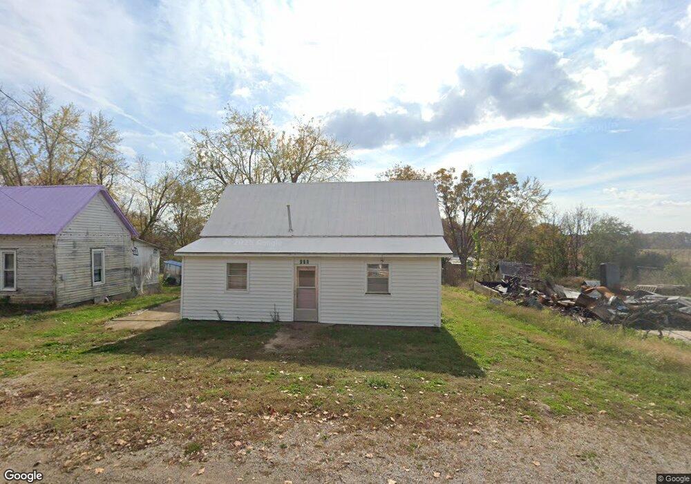
111 Moore St Koshkonong, MO 65692
Estimated Value: $81,000 - $116,000
About This Home
This home is located at 111 Moore St, Koshkonong, MO 65692 and is currently estimated at $98,000, approximately $134 per square foot. 111 Moore St is a home with nearby schools including Koshkonong Elementary School and Koshkonong High School.
Ownership History
We collect this data history from publicly available records. To have your information removed, we recommend requesting removal directly through your county’s website.
Purchase Details
Home Financials for this Owner
Home Financials are based on the most recent Mortgage that was taken out on this home.Purchase History
We collect this data history from publicly available records. To have your information removed, we recommend requesting removal directly through your county’s website.
| Date | Buyer | Sale Price | Title Company |
|---|---|---|---|
| -- | Powell Crews T&E Co Llc |
Mortgage History
We collect this data history from publicly available records. To have your information removed, we recommend requesting removal directly through your county’s website.
| Date | Status | Borrower | Loan Amount |
|---|---|---|---|
| Open | $76,000 | ||
| Closed | $24,000 |
Tax History
We collect this data history from publicly available records. To have your information removed, we recommend requesting removal directly through your county’s website.
| Year | Tax Paid | Tax Assessment Tax Assessment Total Assessment is a certain percentage of the fair market value that is determined by local assessors to be the total taxable value of land and additions on the property. | Land | Improvement |
|---|---|---|---|---|
| 2025 | $149 | $2,579 | $234 | $2,345 |
| 2024 | $145 | $2,525 | $234 | $2,291 |
| 2023 | $145 | $2,525 | $234 | $2,291 |
| 2022 | $143 | $2,470 | $234 | $2,236 |
| 2020 | $143 | $2,470 | $234 | $2,236 |
| 2019 | $142 | $2,470 | $234 | $2,236 |
| 2018 | $140 | $2,470 | $234 | $2,236 |
| 2017 | $140 | $2,470 | $234 | $2,236 |
| 2016 | $136 | $2,362 | $234 | $2,128 |
| 2015 | -- | $2,362 | $234 | $2,128 |
| 2014 | -- | $2,284 | $0 | $0 |
| 2011 | -- | $2,284 | $0 | $0 |
Map
- 316 State Route F
- 000 County Road 9160
- 301 Luyster St
- 301 Luyster St
- 405 Luyster St
- 109 Manilla St
- 000 N County Road 328
- 3338 County Road 322
- 2722 County Road 347
- 2722 County Road 347
- 1499 County Road 380
- 000 Z
- 9457 County Road 9160
- 000 State Route F
- Tract 1 County Road 347
- Tract 2 County Road 347
- 1814 County Road 364
- 000
- 2112 County Road 348
- 3991 State Hwy W
Ask me questions while you tour the home.