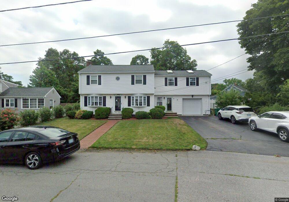
111 Phillips Ave Warwick, RI 02888
Norwood NeighborhoodEstimated Value: $516,000 - $567,000
3
Beds
4
Baths
2,110
Sq Ft
$251/Sq Ft
Est. Value
About This Home
This home is located at 111 Phillips Ave, Warwick, RI 02888 and is currently estimated at $529,814, approximately $251 per square foot. 111 Phillips Ave is a home located in Kent County with nearby schools including St. Peter School and Saint Paul School.
Ownership History
Date
Name
Owned For
Owner Type
Purchase Details
Closed on
Mar 20, 2017
Sold by
Burke Patrick M and Burke Maria A
Bought by
Vanasse Ryan P and Vanasse Erica E
Current Estimated Value
Home Financials for this Owner
Home Financials are based on the most recent Mortgage that was taken out on this home.
Original Mortgage
$256,000
Outstanding Balance
$210,361
Interest Rate
4.19%
Mortgage Type
New Conventional
Estimated Equity
$319,453
Create a Home Valuation Report for This Property
The Home Valuation Report is an in-depth analysis detailing your home's value as well as a comparison with similar homes in the area
Home Values in the Area
Average Home Value in this Area
Purchase History
| Date | Buyer | Sale Price | Title Company |
|---|---|---|---|
| Vanasse Ryan P | $285,000 | -- |
Source: Public Records
Mortgage History
| Date | Status | Borrower | Loan Amount |
|---|---|---|---|
| Open | Vanasse Ryan P | $256,000 |
Source: Public Records
Tax History
| Year | Tax Paid | Tax Assessment Tax Assessment Total Assessment is a certain percentage of the fair market value that is determined by local assessors to be the total taxable value of land and additions on the property. | Land | Improvement |
|---|---|---|---|---|
| 2025 | $5,866 | $461,900 | $104,000 | $357,900 |
| 2024 | $5,638 | $389,600 | $90,400 | $299,200 |
| 2023 | $5,528 | $389,600 | $90,400 | $299,200 |
| 2022 | $5,482 | $292,700 | $59,900 | $232,800 |
| 2021 | $5,482 | $292,700 | $59,900 | $232,800 |
| 2020 | $5,482 | $292,700 | $59,900 | $232,800 |
| 2019 | $5,482 | $292,700 | $59,900 | $232,800 |
| 2018 | $5,283 | $254,000 | $59,900 | $194,100 |
| 2017 | $5,141 | $254,000 | $59,900 | $194,100 |
| 2016 | $5,141 | $254,000 | $59,900 | $194,100 |
| 2015 | $4,955 | $238,800 | $59,400 | $179,400 |
| 2014 | $4,790 | $238,800 | $59,400 | $179,400 |
| 2013 | $4,726 | $238,800 | $59,400 | $179,400 |
Source: Public Records
Map
Nearby Homes
- 119 Phillips Ave
- 116 Phillips Ave
- 99 Phillips Ave
- 98 Phillips Ave
- 127 Phillips Ave
- 138 Budlong Ave
- 126 Phillips Ave
- 152 Budlong Ave
- 160 Budlong Ave
- 72 Pettaconsett Ave
- 64 Pettaconsett Ave
- 86 Phillips Ave
- 132 Phillips Ave
- 132 Budlong Ave
- 83 Phillips Ave
- 80 Pettaconsett Ave
- 151 Budlong Ave
- 80 Phillips Ave
- 139 Budlong Ave
- 65 Pettaconsett Ave
Your Personal Tour Guide
Ask me questions while you tour the home.