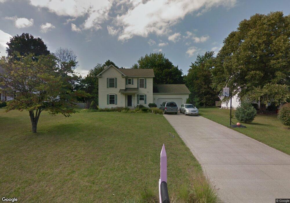
111 Red Pine Dr Painesville, OH 44077
Estimated Value: $287,000 - $320,000
3
Beds
3
Baths
916
Sq Ft
$334/Sq Ft
Est. Value
About This Home
This home is located at 111 Red Pine Dr, Painesville, OH 44077 and is currently estimated at $305,910, approximately $333 per square foot. 111 Red Pine Dr is a home located in Lake County with nearby schools including Henry F. Lamuth Middle School, Riverside Junior/Senior High School, and Summit Academy Community School - Painesville.
Ownership History
Date
Name
Owned For
Owner Type
Purchase Details
Closed on
Oct 16, 1997
Sold by
Wilshire Homes Inc
Bought by
Chandler William W
Current Estimated Value
Home Financials for this Owner
Home Financials are based on the most recent Mortgage that was taken out on this home.
Original Mortgage
$100,000
Outstanding Balance
$14,521
Interest Rate
7.65%
Estimated Equity
$291,389
Purchase Details
Closed on
Oct 31, 1996
Sold by
Sidley R W
Bought by
Wilshire Homes Inc
Home Financials for this Owner
Home Financials are based on the most recent Mortgage that was taken out on this home.
Original Mortgage
$131,920
Interest Rate
8.23%
Mortgage Type
New Conventional
Create a Home Valuation Report for This Property
The Home Valuation Report is an in-depth analysis detailing your home's value as well as a comparison with similar homes in the area
Home Values in the Area
Average Home Value in this Area
Purchase History
| Date | Buyer | Sale Price | Title Company |
|---|---|---|---|
| Chandler William W | $152,000 | Chicago Title Insurance Comp | |
| Wilshire Homes Inc | $33,000 | -- |
Source: Public Records
Mortgage History
| Date | Status | Borrower | Loan Amount |
|---|---|---|---|
| Open | Chandler William W | $100,000 | |
| Previous Owner | Wilshire Homes Inc | $131,920 |
Source: Public Records
Tax History
| Year | Tax Paid | Tax Assessment Tax Assessment Total Assessment is a certain percentage of the fair market value that is determined by local assessors to be the total taxable value of land and additions on the property. | Land | Improvement |
|---|---|---|---|---|
| 2025 | -- | $96,670 | $20,120 | $76,550 |
| 2024 | -- | $96,670 | $20,120 | $76,550 |
| 2023 | $8,228 | $75,510 | $16,080 | $59,430 |
| 2022 | $4,413 | $75,510 | $16,080 | $59,430 |
| 2021 | $4,429 | $75,510 | $16,080 | $59,430 |
| 2020 | $4,363 | $65,660 | $13,980 | $51,680 |
| 2019 | $4,396 | $65,660 | $13,980 | $51,680 |
| 2018 | $4,410 | $58,080 | $18,820 | $39,260 |
| 2017 | $4,021 | $58,080 | $18,820 | $39,260 |
| 2016 | $3,539 | $58,080 | $18,820 | $39,260 |
| 2015 | $3,324 | $58,080 | $18,820 | $39,260 |
| 2014 | $3,379 | $58,080 | $18,820 | $39,260 |
| 2013 | $3,302 | $58,080 | $18,820 | $39,260 |
Source: Public Records
Map
Nearby Homes
- 140 Parkhall Dr
- 94 Bowhall Rd
- 67 Tanners Farm Dr
- 264 Park Rd
- 1638 Madison Ave
- 396 Park Rd
- 5413 Pebble Creek Ln Unit 58
- 300 Manhattan Pkwy
- 180 Radley Dr
- 30 Orton Rd
- 5223 Queen Ann Way Unit 33
- V/L Morgan Dr
- 5585 Canyon Ridge Dr
- 79 Hickory Hill Rd
- 350 Nelmar Dr
- 0 Canyon Ridge Dr
- 575 Park Rd
- 5690 Canyon View Dr
- 175 Overlook Rd
- 1215 Heatherstone Dr
- 103 Red Pine Dr
- 108 Cedar Glen Dr
- 112 Cedar Glen Dr
- 129 Red Pine Dr
- 95 Red Pine Dr
- 110 Red Pine Dr
- 98 Cedar Glen Dr
- 120 Red Pine Dr
- 118 Cedar Glen Dr
- 137 Red Pine Dr
- 100 Red Pine Dr
- 128 Red Pine Dr
- 87 Red Pine Dr
- 90 Cedar Glen Dr
- 1432 Red Maple Dr
- 1436 Red Maple Dr
- 94 Red Pine Dr
- 136 Red Pine Dr
- 1424 Red Maple Dr
- 115 Cedar Glen Dr
Your Personal Tour Guide
Ask me questions while you tour the home.