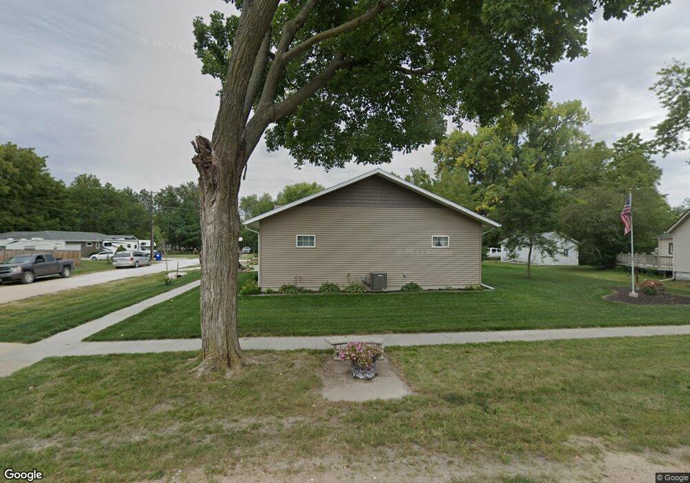
111 W 4th St Malcolm, NE 68402
Estimated Value: $291,000 - $544,000
3
Beds
4
Baths
1,495
Sq Ft
$259/Sq Ft
Est. Value
About This Home
This home is located at 111 W 4th St, Malcolm, NE 68402 and is currently estimated at $386,956, approximately $258 per square foot. 111 W 4th St is a home with nearby schools including Malcolm Elementary School and Malcolm Junior/Senior High School.
Ownership History
Date
Name
Owned For
Owner Type
Purchase Details
Closed on
Jan 24, 2007
Sold by
Tonkinson Janet Kay
Bought by
Maahs Lance
Current Estimated Value
Home Financials for this Owner
Home Financials are based on the most recent Mortgage that was taken out on this home.
Original Mortgage
$77,000
Outstanding Balance
$45,733
Interest Rate
6.1%
Mortgage Type
Purchase Money Mortgage
Estimated Equity
$341,223
Create a Home Valuation Report for This Property
The Home Valuation Report is an in-depth analysis detailing your home's value as well as a comparison with similar homes in the area
Purchase History
| Date | Buyer | Sale Price | Title Company |
|---|---|---|---|
| Maahs Lance | $77,000 | Ct |
Source: Public Records
Mortgage History
| Date | Status | Borrower | Loan Amount |
|---|---|---|---|
| Open | Maahs Lance | $77,000 |
Source: Public Records
Tax History
| Year | Tax Paid | Tax Assessment Tax Assessment Total Assessment is a certain percentage of the fair market value that is determined by local assessors to be the total taxable value of land and additions on the property. | Land | Improvement |
|---|---|---|---|---|
| 2025 | $44 | $354,200 | $63,000 | $291,200 |
| 2024 | $44 | $320,600 | $52,200 | $268,400 |
| 2023 | $277 | $320,600 | $52,200 | $268,400 |
| 2022 | $5,323 | $289,100 | $37,800 | $251,300 |
| 2021 | $1,261 | $289,100 | $37,800 | $251,300 |
| 2020 | $671 | $231,600 | $36,000 | $195,600 |
| 2019 | $324 | $231,600 | $36,000 | $195,600 |
| 2018 | $105 | $199,700 | $31,500 | $168,200 |
| 2017 | $135 | $199,700 | $31,500 | $168,200 |
| 2016 | $1,783 | $194,300 | $25,200 | $169,100 |
| 2015 | $1,371 | $68,900 | $50,400 | $18,500 |
Source: Public Records
Map
Nearby Homes
- 341 Elk Creek Rd
- TBD McKelvie Rd
- 0000 McKelvie Rd
- No Situs Nw 140th St
- 1863 154th
- 15 W Adams St Unit Lot 15
- 16 W Adams St Unit Lot 16
- 3912 NW 57th St
- 5511 W Kingsley St
- 5601 W Adams St
- 14820 N 1st
- 7133 W Holdrege St
- 3330 Gott Cir
- 3324 Gott Cir
- 5106 W Zeamer St
- 5112 W Zeamer St
- 5141 W Zeamer St
- 2540 NW 55th St
- 2516 NW 55th St
- 2348 NW 57th St
Your Personal Tour Guide
Ask me questions while you tour the home.