111 Wadhams Rd Bloomfield, CT 06002
Estimated Value: $302,000 - $342,346
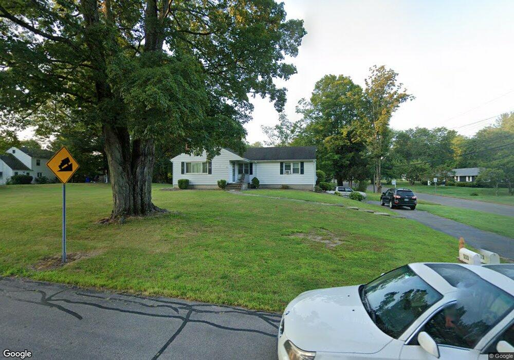
About This Home
This home is located at 111 Wadhams Rd, Bloomfield, CT 06002 and is currently estimated at $327,087, approximately $241 per square foot. 111 Wadhams Rd is a home located in Hartford County with nearby schools including Laurel School, Carmen Arace Intermediate School, and Metacomet School.
Ownership History
We collect this data history from publicly available records. To have your information removed, we recommend requesting removal directly through your county’s website.
Purchase Details
Purchase Details
Home Values in the Area
Average Home Value in this Area
Purchase History
We collect this data history from publicly available records. To have your information removed, we recommend requesting removal directly through your county’s website.
| Date | Buyer | Sale Price | Title Company |
|---|---|---|---|
| $183,000 | -- | ||
| $170,000 | -- |
Tax History
We collect this data history from publicly available records. To have your information removed, we recommend requesting removal directly through your county’s website.
| Year | Tax Paid | Tax Assessment Tax Assessment Total Assessment is a certain percentage of the fair market value that is determined by local assessors to be the total taxable value of land and additions on the property. | Land | Improvement |
|---|---|---|---|---|
| 2025 | $6,796 | $181,230 | $55,860 | $125,370 |
| 2024 | $4,812 | $122,640 | $46,830 | $75,810 |
| 2023 | $4,725 | $122,640 | $46,830 | $75,810 |
| 2022 | $4,235 | $122,640 | $46,830 | $75,810 |
| 2021 | $4,517 | $122,640 | $46,830 | $75,810 |
| 2020 | $4,447 | $122,640 | $46,830 | $75,810 |
| 2019 | $4,741 | $122,640 | $46,830 | $75,810 |
| 2018 | $4,279 | $110,810 | $47,320 | $63,490 |
| 2017 | $4,273 | $110,810 | $47,320 | $63,490 |
| 2016 | $4,172 | $110,810 | $47,320 | $63,490 |
| 2015 | $4,094 | $110,810 | $47,320 | $63,490 |
| 2014 | $4,328 | $121,100 | $50,540 | $70,560 |
Map
- 1 Foothills Way
- 2 Barn Hill Rd
- 11 Spice Bush Ln
- 22 Terry Plains Rd
- 10 Breezy Knoll Dr
- 257 Tunxis Ave
- 406 Tunxis Ave
- 18 Richard Ln
- 174 Thistle Pond Dr Unit 174
- 22 Walts Hill
- 7 Jonathan Place
- 78 Silo Way
- 226 Woodland Ave
- 218 Woodland Ave
- 10 Penwood Rd
- 8 Penwood Rd
- 3 Tanglewood Ct
- 6 Boysen Dr
- 90 Woodland Ave
- 5 Edwards Way
- 5 Foothills Way
- 101 Wadhams Rd
- 2 Foothills Way
- 7 Foothills Way
- 6 Foothills Way
- 112 Wadhams Rd
- 110 Wadhams Rd
- 10 Vista Way
- 10 Vista Way Unit 10
- 6 Vista Way
- 106 Wadhams Rd
- 115 Wadhams Rd
- 14 Vista Way
- 14 Vista Way Unit 14
- 104 Wadhams Rd
- 12 Foothills Way
- 4 S Barn Hill Rd
- 6 S Barn Hill Rd
- 114 Wadhams Rd
- 9 Foothills Way
Ask me questions while you tour the home.