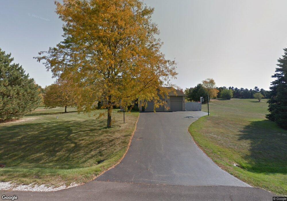
11102 Huron Dr Spring Grove, IL 60081
Estimated Value: $469,517 - $572,000
Studio
1
Bath
2,150
Sq Ft
$248/Sq Ft
Est. Value
About This Home
This home is located at 11102 Huron Dr, Spring Grove, IL 60081 and is currently estimated at $532,879, approximately $247 per square foot. 11102 Huron Dr is a home located in McHenry County with nearby schools including Richmond Grade School, Nippersink Middle School, and Richmond-Burton High School.
Ownership History
Date
Name
Owned For
Owner Type
Purchase Details
Closed on
Apr 24, 1997
Sold by
Franz Elizabeth A
Bought by
Franz Thomas R
Current Estimated Value
Purchase Details
Closed on
Sep 27, 1995
Sold by
Klm Builders Inc
Bought by
Franz Thomas R and Franz Elizabeth
Home Financials for this Owner
Home Financials are based on the most recent Mortgage that was taken out on this home.
Original Mortgage
$179,300
Outstanding Balance
$1,307
Interest Rate
8%
Mortgage Type
Purchase Money Mortgage
Estimated Equity
$531,572
Create a Home Valuation Report for This Property
The Home Valuation Report is an in-depth analysis detailing your home's value as well as a comparison with similar homes in the area
Home Values in the Area
Average Home Value in this Area
Purchase History
| Date | Buyer | Sale Price | Title Company |
|---|---|---|---|
| Franz Thomas R | -- | -- | |
| Franz Thomas R | $224,500 | -- |
Source: Public Records
Mortgage History
| Date | Status | Borrower | Loan Amount |
|---|---|---|---|
| Open | Franz Thomas R | $179,300 |
Source: Public Records
Tax History
| Year | Tax Paid | Tax Assessment Tax Assessment Total Assessment is a certain percentage of the fair market value that is determined by local assessors to be the total taxable value of land and additions on the property. | Land | Improvement |
|---|---|---|---|---|
| 2024 | $10,546 | $148,417 | $16,618 | $131,799 |
| 2023 | $8,934 | $119,155 | $15,507 | $103,648 |
| 2022 | $8,414 | $104,816 | $13,641 | $91,175 |
| 2021 | $7,994 | $98,808 | $12,859 | $85,949 |
| 2020 | $7,814 | $94,453 | $12,292 | $82,161 |
| 2019 | $7,863 | $92,984 | $12,101 | $80,883 |
| 2018 | $9,159 | $102,028 | $11,727 | $90,301 |
| 2017 | $8,847 | $93,955 | $13,957 | $79,998 |
| 2016 | $8,884 | $89,729 | $13,329 | $76,400 |
| 2013 | -- | $67,643 | $14,208 | $53,435 |
Source: Public Records
Map
Nearby Homes
- 11111 Huron Dr
- 10905 Breezy Lawn Rd
- 11101 Serenity Path
- 11013 Serenity Path
- 11106 Siedschlag Rd
- Lt1 Majestic Way W
- Lt17 Majestic Way E
- 36324 128th St
- 2102 W Hunters Ln
- 2919 Il Route 173
- 9436 Bellaire Ln
- Lot 16 Harding
- 2611 E Lake Shore Dr
- Lot 17 & 18 Harding Ave
- 35324 110th St
- 2003 Matthew Ave
- 3159 E Lakeshore Dr
- 210 W Spring Dr
- 509 Sunset Rd
- 1615 E Lake Shore Dr
- 11016 Huron Dr
- 11110 Huron Dr
- 11103 Huron Dr
- 1413 Superior Ct
- 11004 Huron Dr
- 11015 Huron Dr
- 11019 Michigan Dr
- 1403 Superior Ct
- 11015 Michigan Dr
- 11114 Huron Dr
- 1410 Superior Ct
- 10918 Huron Dr
- 11011 Michigan Dr
- 11005 Huron Dr
- 11117 Michigan Dr
- 10910 Huron Dr
- 11115 Huron Dr
- 11102 Michigan Dr
- 10917 Huron Dr
- 11016 Michigan Dr
Your Personal Tour Guide
Ask me questions while you tour the home.