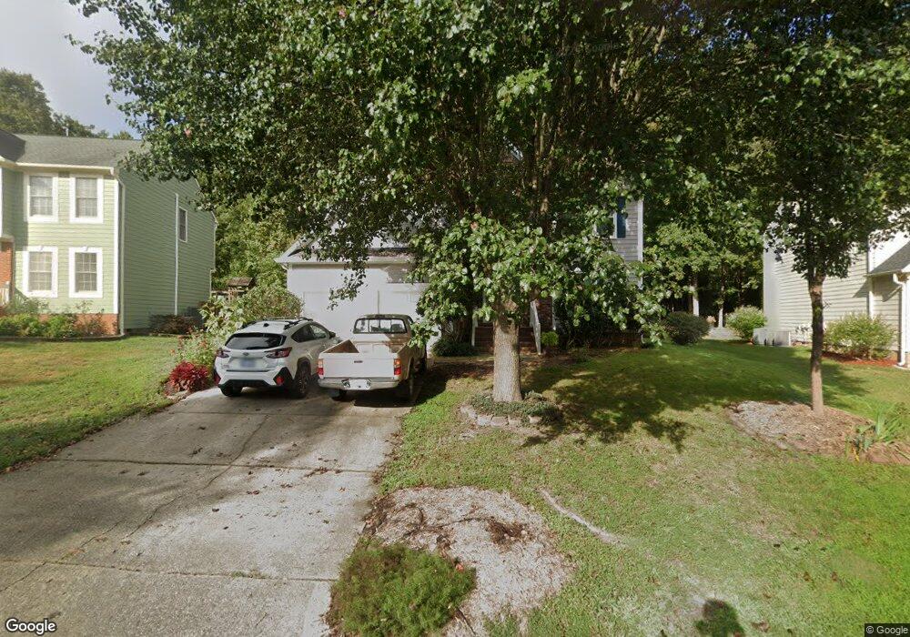
1111 Gunston Ln Durham, NC 27703
Eastern Durham NeighborhoodEstimated Value: $411,208 - $438,000
4
Beds
3
Baths
2,220
Sq Ft
$190/Sq Ft
Est. Value
About This Home
This home is located at 1111 Gunston Ln, Durham, NC 27703 and is currently estimated at $421,302, approximately $189 per square foot. 1111 Gunston Ln is a home located in Durham County with nearby schools including Oak Grove Elementary, John W Neal Middle School, and Southern School of Energy & Sustainability.
Ownership History
Date
Name
Owned For
Owner Type
Purchase Details
Closed on
Mar 1, 2017
Sold by
Evans Realty Holdings Llc
Bought by
Winner Seth and Radochonski Louise
Current Estimated Value
Home Financials for this Owner
Home Financials are based on the most recent Mortgage that was taken out on this home.
Original Mortgage
$168,000
Outstanding Balance
$85,816
Interest Rate
4.19%
Mortgage Type
New Conventional
Estimated Equity
$335,486
Purchase Details
Closed on
Oct 9, 2008
Sold by
Jefferson Duncan and Jefferson Lynne
Bought by
Evans Realty Holdings Llc
Purchase Details
Closed on
Jun 3, 1999
Sold by
Runyon Kenneth R and Wife Lisa M
Bought by
Jefferson Duncan and Jefferson Lynne
Home Financials for this Owner
Home Financials are based on the most recent Mortgage that was taken out on this home.
Original Mortgage
$155,700
Interest Rate
6.94%
Mortgage Type
Balloon
Create a Home Valuation Report for This Property
The Home Valuation Report is an in-depth analysis detailing your home's value as well as a comparison with similar homes in the area
Home Values in the Area
Average Home Value in this Area
Purchase History
We collect this data history from publicly available records. To have your information removed, we recommend requesting removal directly through your county’s website.
| Date | Buyer | Sale Price | Title Company |
|---|---|---|---|
| Winner Seth | $210,000 | -- | |
| Evans Realty Holdings Llc | $177,000 | None Available | |
| Jefferson Duncan | $173,000 | -- |
Source: Public Records
Mortgage History
We collect this data history from publicly available records. To have your information removed, we recommend requesting removal directly through your county’s website.
| Date | Status | Borrower | Loan Amount |
|---|---|---|---|
| Open | Winner Seth | $168,000 | |
| Previous Owner | Jefferson Duncan | $155,700 |
Source: Public Records
Tax History
| Year | Tax Paid | Tax Assessment Tax Assessment Total Assessment is a certain percentage of the fair market value that is determined by local assessors to be the total taxable value of land and additions on the property. | Land | Improvement |
|---|---|---|---|---|
| 2025 | $4,005 | $404,005 | $65,326 | $338,679 |
| 2024 | $3,272 | $234,542 | $47,587 | $186,955 |
| 2023 | $3,072 | $234,542 | $47,587 | $186,955 |
| 2022 | $3,002 | $234,542 | $47,587 | $186,955 |
| 2021 | $2,988 | $234,542 | $47,587 | $186,955 |
| 2020 | $2,917 | $234,542 | $47,587 | $186,955 |
| 2019 | $2,917 | $234,542 | $47,587 | $186,955 |
| 2018 | $2,730 | $201,221 | $34,897 | $166,324 |
| 2017 | $2,709 | $201,221 | $34,897 | $166,324 |
| 2016 | $2,618 | $201,221 | $34,897 | $166,324 |
| 2015 | $2,782 | $200,940 | $40,916 | $160,024 |
| 2014 | $2,782 | $200,940 | $40,916 | $160,024 |
Source: Public Records
Map
Nearby Homes
- 2 Afton Place
- 2011 Slading Trail
- 715 Painted Daisy Ln
- 901 Southshore Pkwy
- 711 Painted Daisy Ln
- 707 Painted Daisy Ln
- 709 Painted Daisy Ln
- 701 Painted Daisy Ln
- 720 Bellmeade Bay Dr
- 3019 Allamore Dr
- 3015 Allamore Dr
- 3105 Allamore Dr
- 3017 Allamore Dr
- 3103 Allamore Dr
- 604 Bellmeade Bay Dr
- 501 Guy Walker Way
- 3908 Holder Rd
- 4121 Grove Ridge Dr
- 3804 Northlake Dr
- 610 Sherron Rd
- 1108 Gunstone Ln
- 1108 Gunston Ln
- 1112 Gunston Ln
- 5 Cameroons Place
- 1100 Gunston Ln
- 1116 Gunston Ln
- 1 Dalidary Ct
- 7 Cameroons Place
- 3 Cameroons Place
- 1103 Gunston Ln
- 1113 Gunston Ln
- 1 Cameroons Place
- 1115 Gunston Ln
- 4 Dalidary Ct
- 9 Cameroons Place
- 1101 Gunston Ln
- 1021 Gunston Ln
- 3 Dalidary Ct
- 5 Dalidary Ct
- 709 Southshore Pkwy
Your Personal Tour Guide
Ask me questions while you tour the home.