1111 Millbrook Rd Berwyn, PA 19312
Estimated Value: $899,000 - $1,420,155
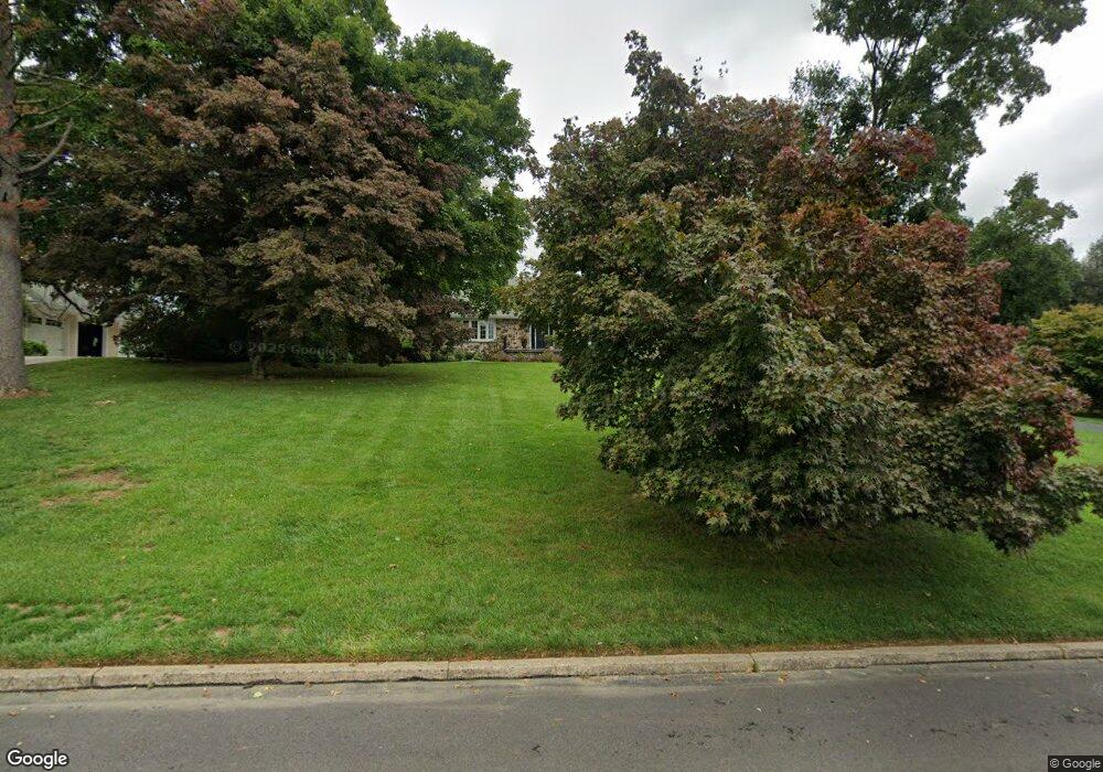
About This Home
This home is located at 1111 Millbrook Rd, Berwyn, PA 19312 and is currently estimated at $1,248,789, approximately $530 per square foot. 1111 Millbrook Rd is a home located in Chester County with nearby schools including Beaumont Elementary School, Tredyffrin-Easttown Middle School, and Conestoga Senior High School.
Ownership History
We collect this data history from publicly available records. To have your information removed, we recommend requesting removal directly through your county’s website.
Purchase Details
Home Financials for this Owner
Home Financials are based on the most recent Mortgage that was taken out on this home.Home Values in the Area
Average Home Value in this Area
Purchase History
We collect this data history from publicly available records. To have your information removed, we recommend requesting removal directly through your county’s website.
| Date | Buyer | Sale Price | Title Company |
|---|---|---|---|
| $595,000 | None Available |
Mortgage History
We collect this data history from publicly available records. To have your information removed, we recommend requesting removal directly through your county’s website.
| Date | Status | Borrower | Loan Amount |
|---|---|---|---|
| Open | $400,000 |
Tax History
We collect this data history from publicly available records. To have your information removed, we recommend requesting removal directly through your county’s website.
| Year | Tax Paid | Tax Assessment Tax Assessment Total Assessment is a certain percentage of the fair market value that is determined by local assessors to be the total taxable value of land and additions on the property. | Land | Improvement |
|---|---|---|---|---|
| 2026 | $1,190 | $299,790 | $83,180 | $216,610 |
| 2025 | $10,894 | $292,070 | $83,180 | $208,890 |
| 2024 | $10,894 | $292,070 | $83,180 | $208,890 |
| 2023 | $10,186 | $292,070 | $83,180 | $208,890 |
| 2022 | $9,908 | $292,070 | $83,180 | $208,890 |
| 2021 | $9,692 | $292,070 | $83,180 | $208,890 |
| 2020 | $9,423 | $292,070 | $83,180 | $208,890 |
| 2019 | $9,160 | $292,070 | $83,180 | $208,890 |
| 2018 | $9,002 | $292,070 | $83,180 | $208,890 |
| 2017 | $8,799 | $292,070 | $83,180 | $208,890 |
| 2016 | -- | $292,070 | $83,180 | $208,890 |
| 2015 | -- | $292,070 | $83,180 | $208,890 |
| 2014 | -- | $292,070 | $83,180 | $208,890 |
Map
- 1105 Waterloo Rd
- 1017 Waltham Rd
- 1026 Waltham Rd
- 1108 Prescott Rd
- 1018 Darby Paoli Rd
- 1179 Beaumont Rd
- 1064 Beaumont Rd
- 975 S Waterloo Rd
- 2207 White Horse Rd
- 2063 Fox Creek Rd
- 837-Lot1 Nathan Hale
- 2074 Fox Creek Rd
- 3858 Meadow View Farm Rd
- 124 Piqua Cir
- 1075 S Leopard Rd
- 3503 Saint Davids Rd
- 3809 Meadow View Farm Rd
- 311 Stoney Knoll Ln
- 315 Stoney Knoll Ln
- 2430 White Horse Rd
- 1117 Millbrook Rd
- 1105 Millbrook Rd
- 1114 Millbrook Rd
- 1063 Millbrook Rd
- 1106 Millbrook Rd
- 1134 Waterloo Rd
- 1125 Millbrook Rd
- 1128 Waterloo Rd
- 1069 Darby Paoli Rd
- 1124 Millbrook Rd
- 1140 Waterloo Rd
- 1057 Millbrook Rd
- 1116 Waterloo Rd
- 1142 Waterloo Rd
- 1111 Darby Paoli Rd
- 1056 Millbrook Rd
- 1108 Waterloo Rd
- 1051 Millbrook Rd
- 1018 Waltham Rd
- 1102 Waterloo Rd
Ask me questions while you tour the home.