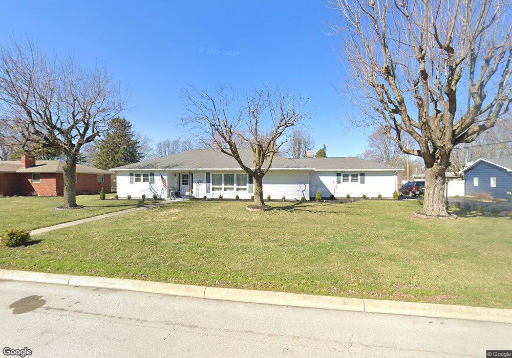
1112 5th St Findlay, OH 45840
Estimated Value: $229,367 - $249,000
3
Beds
2
Baths
1,810
Sq Ft
$132/Sq Ft
Est. Value
About This Home
This home is located at 1112 5th St, Findlay, OH 45840 and is currently estimated at $238,092, approximately $131 per square foot. 1112 5th St is a home located in Hancock County with nearby schools including Wilson Vance Elementary School, Whittier Elementary School, and Donnell Middle School.
Ownership History
Date
Name
Owned For
Owner Type
Purchase Details
Closed on
Feb 12, 2026
Sold by
Ann Barnett and Ann Robert
Bought by
Barnett Julie and Barnett Robert
Current Estimated Value
Home Financials for this Owner
Home Financials are based on the most recent Mortgage that was taken out on this home.
Original Mortgage
$126,000
Outstanding Balance
$125,877
Interest Rate
6.09%
Mortgage Type
New Conventional
Estimated Equity
$112,215
Purchase Details
Closed on
Oct 29, 2025
Sold by
Powell-Earlie Nancy J
Bought by
Powell-Earlie Nancy J and Barnett Julie Ann
Create a Home Valuation Report for This Property
The Home Valuation Report is an in-depth analysis detailing your home's value as well as a comparison with similar homes in the area
Home Values in the Area
Average Home Value in this Area
Purchase History
| Date | Buyer | Sale Price | Title Company |
|---|---|---|---|
| Barnett Julie | -- | Huntington Title | |
| Powell-Earlie Nancy J | -- | None Listed On Document |
Source: Public Records
Mortgage History
| Date | Status | Borrower | Loan Amount |
|---|---|---|---|
| Open | Barnett Julie | $126,000 |
Source: Public Records
Tax History
| Year | Tax Paid | Tax Assessment Tax Assessment Total Assessment is a certain percentage of the fair market value that is determined by local assessors to be the total taxable value of land and additions on the property. | Land | Improvement |
|---|---|---|---|---|
| 2024 | $1,609 | $55,090 | $12,890 | $42,200 |
| 2023 | $1,634 | $55,090 | $12,890 | $42,200 |
| 2022 | $1,643 | $55,090 | $12,890 | $42,200 |
| 2021 | $1,464 | $44,710 | $12,900 | $31,810 |
| 2020 | $1,463 | $44,710 | $12,900 | $31,810 |
| 2019 | $1,434 | $44,710 | $12,900 | $31,810 |
| 2018 | $1,311 | $38,880 | $11,220 | $27,660 |
| 2017 | $655 | $38,880 | $11,220 | $27,660 |
| 2016 | $1,299 | $38,880 | $11,220 | $27,660 |
| 2015 | $1,513 | $43,360 | $11,220 | $32,140 |
| 2014 | $1,514 | $43,360 | $11,220 | $32,140 |
| 2012 | $1,526 | $43,360 | $11,220 | $32,140 |
Source: Public Records
Map
Nearby Homes
- 1100 Stall Dr
- 0 Blanchard Ave
- 1301 Fishlock Ave
- 1638 Westview Dr
- 1105 1st St
- 1215 S Blanchard St
- 15591 Canadian Way
- 15586 Canadian Way
- 15615 Canadian Way
- 525 3rd St
- 1463 Misty Oaks Dr
- 400 E Pearl St
- 423 1st St
- 10657 Cherokee Dr
- 313 2nd St
- 10692 Cherokee Dr
- 206 Greenlawn Ave
- 1421 E Sandusky St
- 623 E Sandusky St
- 829 Maple Ave
Your Personal Tour Guide
Ask me questions while you tour the home.