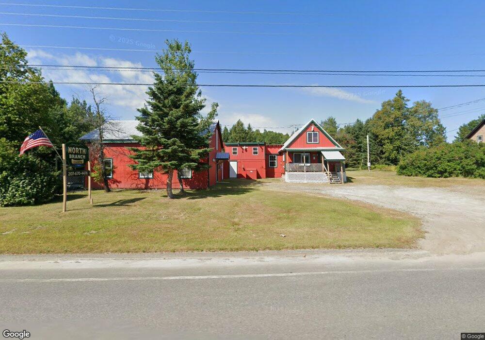
1112 the Arnold Trail Eustis, ME 04936
Estimated Value: $602,523 - $668,000
1
Bed
1
Bath
800
Sq Ft
$779/Sq Ft
Est. Value
About This Home
This home is located at 1112 the Arnold Trail, Eustis, ME 04936 and is currently estimated at $623,131, approximately $778 per square foot. 1112 the Arnold Trail is a home located in Franklin County with nearby schools including Stratton Elementary School.
Ownership History
Date
Name
Owned For
Owner Type
Purchase Details
Closed on
Sep 26, 2022
Sold by
Dunlap Dale E and Dunlap Edith
Bought by
North Branch Sporting Cam
Current Estimated Value
Home Financials for this Owner
Home Financials are based on the most recent Mortgage that was taken out on this home.
Original Mortgage
$468,000
Outstanding Balance
$443,458
Interest Rate
5.13%
Mortgage Type
Purchase Money Mortgage
Estimated Equity
$179,673
Create a Home Valuation Report for This Property
The Home Valuation Report is an in-depth analysis detailing your home's value as well as a comparison with similar homes in the area
Purchase History
| Date | Buyer | Sale Price | Title Company |
|---|---|---|---|
| North Branch Sporting Cam | $585,000 | None Available |
Source: Public Records
Mortgage History
| Date | Status | Borrower | Loan Amount |
|---|---|---|---|
| Open | North Branch Sporting Cam | $468,000 |
Source: Public Records
Tax History
| Year | Tax Paid | Tax Assessment Tax Assessment Total Assessment is a certain percentage of the fair market value that is determined by local assessors to be the total taxable value of land and additions on the property. | Land | Improvement |
|---|---|---|---|---|
| 2025 | $4,739 | $538,500 | $187,600 | $350,900 |
| 2024 | $3,987 | $455,700 | $120,500 | $335,200 |
| 2023 | $2,988 | $333,800 | $77,600 | $256,200 |
| 2022 | $3,179 | $334,600 | $77,600 | $257,000 |
| 2021 | $3,295 | $255,400 | $57,600 | $197,800 |
| 2020 | $3,221 | $257,700 | $57,600 | $200,100 |
| 2019 | $2,963 | $244,900 | $42,600 | $202,300 |
| 2018 | $3,211 | $245,100 | $42,600 | $202,500 |
| 2017 | $3,214 | $247,200 | $42,600 | $204,600 |
| 2016 | $2,619 | $205,100 | $42,600 | $162,500 |
| 2015 | $2,377 | $180,100 | $45,100 | $135,000 |
| 2014 | -- | $178,000 | $45,100 | $132,900 |
| 2009 | -- | $93,900 | $50,900 | $43,000 |
Source: Public Records
Map
Nearby Homes
- 60&66 Gravel Pit Rd
- 999 the Arnold Trail
- 54 Eustis Village Rd
- 59 Eustis Village Rd
- 81 B Red Pine Ln
- 6-01 Eustis Ridge Rd
- 118 Glidden Rd
- 1480 Arnold Trail
- 233 Porter Nadeau Rd
- 95-4 Lot D Porter Nadeau Rd
- 484 Eustis Ridge Rd
- 27 Peabody Rd
- 9 Tranquility Ln
- 186 Main St
- 14 Dam Rd
- 11 Porcupine Trail
- 27 Reed Rd
- 64 Ip Rd
- 42 Rabbit Hollow Rd
- 4004 Bigelow Station
- 23 Gravel Pit Rd
- 39 Gravel Pit Rd
- 1093 the Arnold Trail
- 22 Gravel Pit Rd
- 1118 the Arnold Trail
- 1118 the Arnold Trail
- 15 Gravel Pit Rd
- 14 Gravel Pit Rd
- 34 Gravel Pit Rd
- 8 Gravel Pit Rd
- 60 Gravel Pit Rd
- 1077 the Arnold Trail
- 27 Caldwell Rd
- 21 Caldwell Rd
- 37 Caldwell Rd
- 22 Caldwell Rd
- 27 Grand View Estates
- 1069 the Arnold Trail
- TBD Caldwell Rd
- 13 Hammonds Hill Rd
Your Personal Tour Guide
Ask me questions while you tour the home.