1113 Normandy Trace Rd Tampa, FL 33602
Harbour Island NeighborhoodEstimated Value: $445,124 - $498,000
2
Beds
2
Baths
1,183
Sq Ft
$400/Sq Ft
Est. Value
About This Home
This home is located at 1113 Normandy Trace Rd, Tampa, FL 33602 and is currently estimated at $473,031, approximately $399 per square foot. 1113 Normandy Trace Rd is a home located in Hillsborough County with nearby schools including Gorrie Elementary School, Wilson Middle School, and Plant High School.
Ownership History
Date
Name
Owned For
Owner Type
Purchase Details
Closed on
Jul 19, 2004
Sold by
Hollander H Paul
Bought by
Shannahan Jeffrey
Current Estimated Value
Home Financials for this Owner
Home Financials are based on the most recent Mortgage that was taken out on this home.
Original Mortgage
$212,000
Outstanding Balance
$103,017
Interest Rate
6.24%
Mortgage Type
Unknown
Estimated Equity
$370,014
Create a Home Valuation Report for This Property
The Home Valuation Report is an in-depth analysis detailing your home's value as well as a comparison with similar homes in the area
Home Values in the Area
Average Home Value in this Area
Purchase History
| Date | Buyer | Sale Price | Title Company |
|---|---|---|---|
| Shannahan Jeffrey | $265,000 | First American Title Ins Co |
Source: Public Records
Mortgage History
| Date | Status | Borrower | Loan Amount |
|---|---|---|---|
| Open | Shannahan Jeffrey | $212,000 | |
| Closed | Shannahan Jeffrey | $39,700 |
Source: Public Records
Tax History
| Year | Tax Paid | Tax Assessment Tax Assessment Total Assessment is a certain percentage of the fair market value that is determined by local assessors to be the total taxable value of land and additions on the property. | Land | Improvement |
|---|---|---|---|---|
| 2025 | $1,989 | $151,663 | -- | -- |
| 2024 | $1,989 | $147,389 | -- | -- |
| 2023 | $1,922 | $143,096 | $0 | $0 |
| 2022 | $1,855 | $138,928 | $0 | $0 |
| 2021 | $1,819 | $134,882 | $0 | $0 |
| 2020 | $1,797 | $133,020 | $0 | $0 |
| 2019 | $1,756 | $130,029 | $0 | $0 |
| 2018 | $1,739 | $127,605 | $0 | $0 |
| 2017 | $1,781 | $231,521 | $0 | $0 |
| 2016 | $1,723 | $122,409 | $0 | $0 |
| 2015 | $1,715 | $121,558 | $0 | $0 |
| 2014 | $1,681 | $120,593 | $0 | $0 |
| 2013 | -- | $118,811 | $0 | $0 |
Source: Public Records
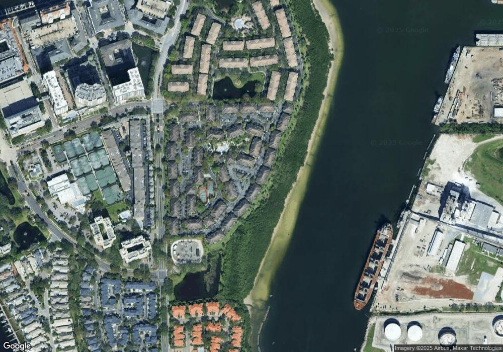
Map
Nearby Homes
- 1037 Normandy Trace Rd
- 625 Tropical Breeze Way
- 601 Arbor Lake Ln
- 775 Mainsail Dr Unit 775
- 605 Island Place Way
- 501 Knights Run Ave Unit 2119
- 501 Knights Run Ave Unit 2109
- 501 Knights Run Ave Unit 2106
- 501 Knights Run Ave Unit 1215
- 501 Knights Run Ave Unit 6101
- 501 Knights Run Ave Unit 1234
- 501 Knights Run Ave Unit 4105
- 501 Knights Run Ave Unit 1320
- 501 Knights Run Ave Unit 5101
- 1002 S Harbour Island Blvd Unit 1302
- 450 Knights Run Ave Unit 1704
- 450 Knights Run Ave Unit 2102
- 450 Knights Run Ave Unit 502
- 450 Knights Run Ave Unit 411
- 450 Knights Run Ave Unit 1801
- 1101 Normandy Trace Rd
- 1109 Normandy Trace Rd
- 1115 Normandy Trace Rd
- 1105 Normandy Trace Rd
- 1103 Normandy Trace Rd
- 1123 Normandy Trace Rd
- 1123 Normandy Trace Rd Unit 1123
- 1117 Normandy Trace Rd
- 1121 Normandy Trace Rd
- 1119 Normandy Trace Rd
- 1121 Normandy Trace Rd Unit 1121
- 1071 Normandy Trace Rd
- 1069 Normandy Trace Rd
- 1069 Normandy Trace Rd Unit 1069
- 1067 Normandy Trace Rd
- 1079 Normandy Trace Rd Unit 1079
- 1079 Normandy Trace Rd
- 1077 Normandy Trace Rd Unit 1077
- 1077 Normandy Trace Rd
- 1075 Normandy Trace Rd
Your Personal Tour Guide
Ask me questions while you tour the home.