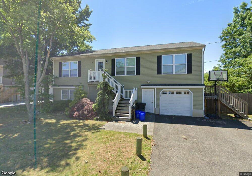
1115 High Ave Union Beach, NJ 07735
Estimated Value: $505,000 - $573,000
3
Beds
1
Bath
1,248
Sq Ft
$433/Sq Ft
Est. Value
About This Home
This home is located at 1115 High Ave, Union Beach, NJ 07735 and is currently estimated at $539,923, approximately $432 per square foot. 1115 High Ave is a home located in Monmouth County with nearby schools including Memorial School, Baytul-Iman Academy, and St. Ann School.
Ownership History
Date
Name
Owned For
Owner Type
Purchase Details
Closed on
Apr 19, 2004
Sold by
Noreen Aimee
Bought by
Leverock Ed and Leverock Kelly
Current Estimated Value
Home Financials for this Owner
Home Financials are based on the most recent Mortgage that was taken out on this home.
Original Mortgage
$190,000
Outstanding Balance
$87,053
Interest Rate
5.39%
Estimated Equity
$452,870
Create a Home Valuation Report for This Property
The Home Valuation Report is an in-depth analysis detailing your home's value as well as a comparison with similar homes in the area
Home Values in the Area
Average Home Value in this Area
Purchase History
| Date | Buyer | Sale Price | Title Company |
|---|---|---|---|
| Leverock Ed | $200,000 | -- |
Source: Public Records
Mortgage History
| Date | Status | Borrower | Loan Amount |
|---|---|---|---|
| Open | Leverock Ed | $190,000 |
Source: Public Records
Tax History
| Year | Tax Paid | Tax Assessment Tax Assessment Total Assessment is a certain percentage of the fair market value that is determined by local assessors to be the total taxable value of land and additions on the property. | Land | Improvement |
|---|---|---|---|---|
| 2025 | $9,355 | $490,900 | $204,500 | $286,400 |
| 2024 | $9,101 | $453,700 | $178,200 | $275,500 |
| 2023 | $9,101 | $425,300 | $155,000 | $270,300 |
| 2022 | $8,268 | $372,000 | $123,900 | $248,100 |
| 2021 | $8,268 | $336,800 | $112,700 | $224,100 |
| 2020 | $8,086 | $321,400 | $109,600 | $211,800 |
| 2019 | $7,956 | $308,500 | $104,400 | $204,100 |
| 2018 | $7,805 | $290,900 | $90,900 | $200,000 |
| 2017 | $7,723 | $276,700 | $77,200 | $199,500 |
| 2016 | $7,765 | $278,400 | $82,700 | $195,700 |
| 2015 | $7,609 | $277,800 | $90,900 | $186,900 |
| 2014 | $7,249 | $84,100 | $84,100 | $0 |
Source: Public Records
Map
Nearby Homes
- 1202 High Ave
- 911 Harris Ave
- 805 Cambridge Ave
- 1213 Highway 36
- 710 Cambridge Ave
- 650 Washington Ave
- 628 Morningside Ave
- 637 Clark Ave
- 620 Morningside Ave
- 405 Shore Rd
- 801 Bayview Ave
- 412 Union Ave
- 814 Brook Ave
- 513 Washington Ave
- 303 Union Ave
- 427 Sullivan Place
- 201 Gateway Ct Unit 1
- 425 Bayview Ave
- 19 Mountain Ave
- 401 Spruce St
- 1111 High Ave
- 102 Asbury Ave
- 1110 High Ave
- 1117 High Ave
- 156 Asbury Ave
- 1114 High Ave
- 1203 High Ave
- 1107 Harris Ave
- 1109 Harris Ave
- 1204 High Ave
- 1020 High Ave
- 1021 Harris Ave
- 1213 High Ave Unit 36
- 1119 Harris Ave
- 1009 Harris Ave
- 1929 Harris Ave
- 1201 High Ave
- 1121 Harris Ave
- 1007 Harris Ave
- 1102 Harris Ave
Your Personal Tour Guide
Ask me questions while you tour the home.