1115 Ironman Bluff Surrency, GA 31563
Estimated Value: $79,501 - $246,000
Studio
--
Bath
--
Sq Ft
354,578
Sq Ft Lot
About This Home
This home is located at 1115 Ironman Bluff, Surrency, GA 31563 and is currently estimated at $136,500. 1115 Ironman Bluff is a home located in Appling County.
Ownership History
Date
Name
Owned For
Owner Type
Purchase Details
Closed on
Feb 4, 2026
Sold by
Nipper Thomas Edward
Bought by
10 Sales Llc
Current Estimated Value
Purchase Details
Closed on
Sep 9, 2024
Sold by
Segrest Avery Quintin
Bought by
Nipper Thomas Edward
Home Financials for this Owner
Home Financials are based on the most recent Mortgage that was taken out on this home.
Original Mortgage
$61,685
Interest Rate
6.47%
Mortgage Type
New Conventional
Purchase Details
Closed on
Nov 3, 2006
Sold by
Strickland Jeffrey
Bought by
Segrest Avery Quintin
Purchase Details
Closed on
Oct 13, 2004
Bought by
Strickland Jeffrey and Strickland Ly
Create a Home Valuation Report for This Property
The Home Valuation Report is an in-depth analysis detailing your home's value as well as a comparison with similar homes in the area
Home Values in the Area
Average Home Value in this Area
Purchase History
| Date | Buyer | Sale Price | Title Company |
|---|---|---|---|
| 10 Sales Llc | -- | -- | |
| Nipper Thomas Edward | $80,000 | -- | |
| Segrest Avery Quintin | $47,500 | -- | |
| Strickland Jeffrey | $30,000 | -- |
Source: Public Records
Mortgage History
| Date | Status | Borrower | Loan Amount |
|---|---|---|---|
| Previous Owner | Nipper Thomas Edward | $61,685 |
Source: Public Records
Tax History
| Year | Tax Paid | Tax Assessment Tax Assessment Total Assessment is a certain percentage of the fair market value that is determined by local assessors to be the total taxable value of land and additions on the property. | Land | Improvement |
|---|---|---|---|---|
| 2025 | $406 | $17,880 | $17,880 | $0 |
| 2024 | $406 | $26,280 | $26,280 | $0 |
| 2023 | $645 | $26,280 | $26,280 | $0 |
| 2022 | $678 | $26,280 | $26,280 | $0 |
| 2021 | $679 | $26,280 | $26,280 | $0 |
| 2020 | $705 | $26,280 | $26,280 | $0 |
| 2019 | $719 | $26,280 | $26,280 | $0 |
| 2018 | $732 | $26,280 | $26,280 | $0 |
| 2017 | $732 | $26,280 | $26,280 | $0 |
| 2016 | $732 | $26,280 | $26,280 | $0 |
| 2015 | $733 | $26,280 | $26,280 | $0 |
| 2014 | $734 | $26,280 | $26,280 | $0 |
| 2013 | -- | $29,136 | $29,136 | $0 |
Source: Public Records
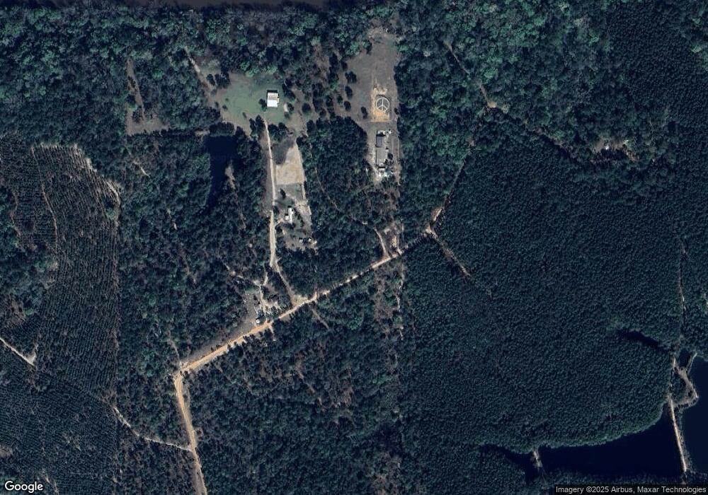
Map
Nearby Homes
- 163 High Bluff Rd
- 0 Lee Woods Rd Unit 11355226
- 0 Lee Woods Rd Unit 18062646
- Rivers Edge Rd Hwy 178
- 286 Carter Bight Landing Rd
- 2286 Carter Bight Landing Rd
- 315 Getaway Ln
- 468 Half Moon Lake Rd
- 0 Georgia 121
- 4360 E River Rd
- 0 Robert Chapel Cemetery Rd Unit 10519584
- Rd
- 96 Annie Holt Rd
- 1054 Penny Morris Rd
- 03 Penny Morris Rd
- TRACT 7 Penny Morris Rd
- 01 Penny Morris Rd
- TRACT 19 Penny Morris Rd
- 02 Penny Morris Rd
- 1262 Penny Morris Rd
- 347 Lamb Rd
- 264 Lamb Rd
- 39 Lamb Rd
- 145 Lamb Rd
- 649 Lamb Rd
- 0 Lamb Rd Unit 209131
- 0 Lamb Rd Unit 522591
- 1547 Lee Woods Rd
- 755 Lamb Rd
- 00 Lakeside Dr
- 476 Lakeside Cir
- 462 Lakeside Cir
- 469 Lakeside Cir
- 546 Lakeside Cir
- 546 Lakeside Cir
- 658 Lakeside Cir
- 1083 Lee Woods Rd
- 1346 Lee Woods Rd
- 110 Lakeside Dr Unit 25-26
- 110 Lakeside Dr Unit 22-23-24 A
Your Personal Tour Guide
Ask me questions while you tour the home.