1119 Chestnut Rd Vandergrift, PA 15690
Estimated Value: $152,000 - $288,000
2
Beds
1
Bath
1,200
Sq Ft
$189/Sq Ft
Est. Value
About This Home
This home is located at 1119 Chestnut Rd, Vandergrift, PA 15690 and is currently estimated at $227,274, approximately $189 per square foot. 1119 Chestnut Rd is a home.
Ownership History
We collect this data history from publicly available records. To have your information removed, we recommend requesting removal directly through your county’s website.
Date
Name
Owned For
Owner Type
Purchase Details
Closed on
Jun 26, 2020
Sold by
Bought by
Current Estimated Value
Create a Home Valuation Report for This Property
The Home Valuation Report is an in-depth analysis detailing your home's value as well as a comparison with similar homes in the area
Home Values in the Area
Average Home Value in this Area
Purchase History
We collect this data history from publicly available records. To have your information removed, we recommend requesting removal directly through your county’s website.
| Date | Buyer | Sale Price | Title Company |
|---|---|---|---|
| -- | None Available |
Source: Public Records
Tax History
We collect this data history from publicly available records. To have your information removed, we recommend requesting removal directly through your county’s website.
| Year | Tax Paid | Tax Assessment Tax Assessment Total Assessment is a certain percentage of the fair market value that is determined by local assessors to be the total taxable value of land and additions on the property. | Land | Improvement |
|---|---|---|---|---|
| 2025 | $5,448 | $56,920 | $32,470 | $24,450 |
| 2024 | $5,060 | $56,920 | $32,470 | $24,450 |
| 2023 | $4,100 | $56,920 | $32,470 | $24,450 |
| 2022 | $4,054 | $56,920 | $32,470 | $24,450 |
| 2021 | $3,984 | $56,920 | $32,470 | $24,450 |
| 2020 | $3,984 | $56,920 | $32,470 | $24,450 |
| 2019 | $3,961 | $56,920 | $32,470 | $24,450 |
| 2018 | $3,961 | $46,380 | $11,445 | $34,935 |
| 2017 | $3,938 | $56,920 | $32,470 | $24,450 |
| 2016 | $3,938 | $56,920 | $32,470 | $24,450 |
| 2015 | $3,571 | $56,920 | $32,470 | $24,450 |
| 2014 | $3,571 | $56,920 | $32,470 | $24,450 |
Source: Public Records
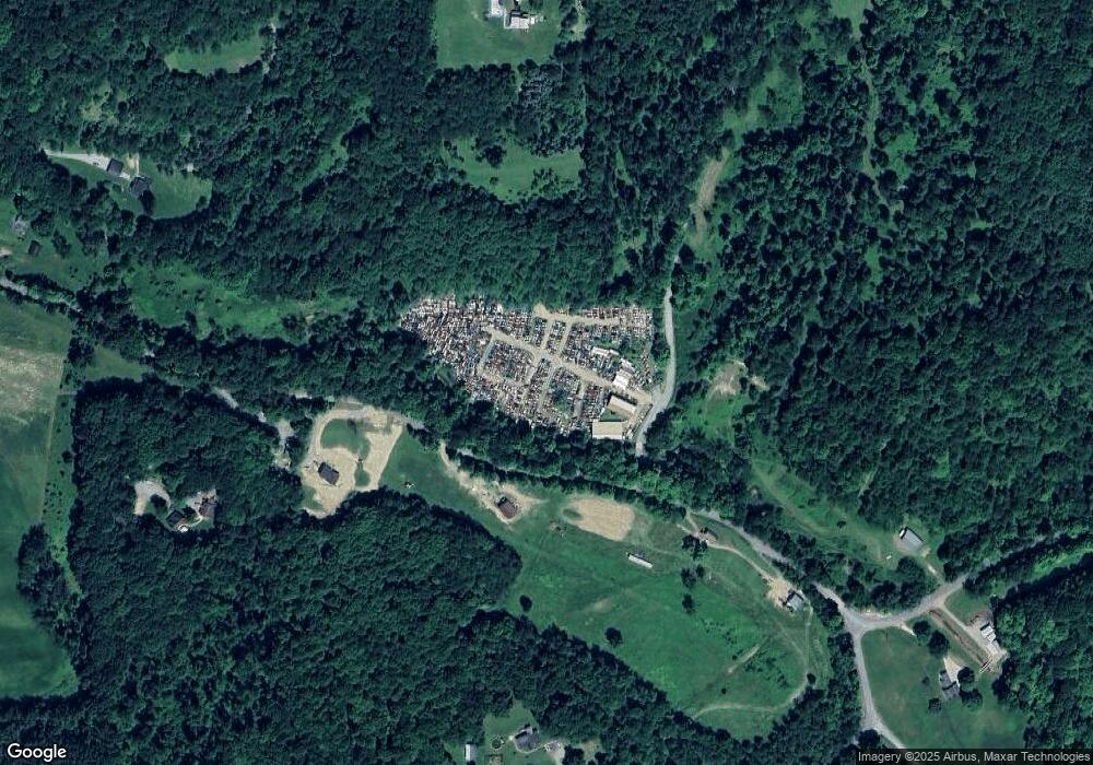
Map
Nearby Homes
- 170 Clarks Hollow Rd
- 1878 Dime Rd
- 1856 Dime Rd
- 1812 State Route 56
- 28 Clark Ave
- 115 Birch St
- 1810 State Route 56
- 1329 State Route 56 E
- 1174 Dime Rd
- 1389 Gilchrist Rd
- 1116 Grant St
- 247 Sherman Ave
- 1278 Lincoln St
- 189 Sherman Ave
- 172 Franklin Ave
- 180 Franklin Ave
- 145 Jefferson Ave
- 135 Farragut Ave Unit BLK4
- 167 Fork Rd
- 202 Mckinley Ave
- 1384 Upper Mateer Rd
- 1468 Upper Mateer Rd
- 1193 Emmerson Ln
- 1382 Upper Mateer Rd
- 514 Altman Hill Rd
- 1130 Emmerson Ln
- 1110 Stefanik Ln
- 1123 Stefanik Ln
- 1335 Upper Mateer Rd
- 1505 Upper Mateer Rd
- 1327 Upper Mateer Rd
- 1139 Emmerson Ln
- 1115 Porter Ln
- 1322 Upper Mateer Rd
- 3839 N Balsiger Rd
- 3836 N Balsiger Rd
- 3804 N Balsinger Rd
- 3822 N Balsinger Rd
- 3839 N Balsinger Rd
- 1294 Upper Mateer Rd
Your Personal Tour Guide
Ask me questions while you tour the home.