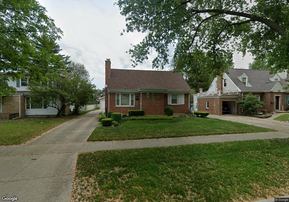
1119 S 2nd Ave Des Plaines, IL 60016
Estimated Value: $408,000 - $449,000
3
Beds
2
Baths
1,425
Sq Ft
$300/Sq Ft
Est. Value
About This Home
This home is located at 1119 S 2nd Ave, Des Plaines, IL 60016 and is currently estimated at $427,670, approximately $300 per square foot. 1119 S 2nd Ave is a home located in Cook County with nearby schools including Forest Elementary School, Algonquin Middle School, and Maine West High School.
Ownership History
Date
Name
Owned For
Owner Type
Purchase Details
Closed on
Sep 1, 2015
Sold by
Swensen Patricia E
Bought by
Swensen Patricia E and Patricia E Swensen Revocable Trust
Current Estimated Value
Purchase Details
Closed on
Nov 28, 2005
Sold by
Swensen Patricia E
Bought by
Swensen Patricia E and Robert F Swensen Family B Trust
Purchase Details
Closed on
Apr 24, 1995
Sold by
Swensen Robert F and Swensen Patricia E
Bought by
Swensen Robert F and Swensen Patricia E
Create a Home Valuation Report for This Property
The Home Valuation Report is an in-depth analysis detailing your home's value as well as a comparison with similar homes in the area
Home Values in the Area
Average Home Value in this Area
Purchase History
We collect this data history from publicly available records. To have your information removed, we recommend requesting removal directly through your county’s website.
| Date | Buyer | Sale Price | Title Company |
|---|---|---|---|
| Swensen Patricia E | -- | Attorney | |
| Swensen Patricia E | -- | None Available | |
| Swensen Robert F | -- | -- |
Source: Public Records
Tax History
| Year | Tax Paid | Tax Assessment Tax Assessment Total Assessment is a certain percentage of the fair market value that is determined by local assessors to be the total taxable value of land and additions on the property. | Land | Improvement |
|---|---|---|---|---|
| 2025 | $6,863 | $37,000 | $9,207 | $27,793 |
| 2024 | $6,863 | $32,001 | $7,673 | $24,328 |
| 2023 | $6,650 | $32,001 | $7,673 | $24,328 |
| 2022 | $6,650 | $32,001 | $7,673 | $24,328 |
| 2021 | $6,677 | $27,716 | $6,138 | $21,578 |
| 2020 | $6,688 | $27,716 | $6,138 | $21,578 |
| 2019 | $7,260 | $33,148 | $6,138 | $27,010 |
| 2018 | $4,590 | $21,530 | $5,370 | $16,160 |
| 2017 | $4,540 | $21,530 | $5,370 | $16,160 |
| 2016 | $5,450 | $23,895 | $5,370 | $18,525 |
| 2015 | $5,384 | $22,305 | $4,603 | $17,702 |
| 2014 | $5,298 | $22,305 | $4,603 | $17,702 |
| 2013 | $5,136 | $22,305 | $4,603 | $17,702 |
Source: Public Records
Map
Nearby Homes
- 1117 Margret St
- 1052 Margret St
- 1023 Margret St
- 1076 S 3rd Ave
- 1152 E Walnut Ave
- 1304 Dennis Place
- 1325 E Walnut Ave
- 35 Nicholas Dr W
- 980 W Grant Dr
- 870 E Thacker St
- 900 Lee St Unit 202
- 840 E Thacker St
- 940 W Grant Dr
- 1458 Kingston Ct
- 1080 Bogart St
- 1078 Bogart St
- 963 E Prairie Ave
- 1030 Bogart St
- 1205 S Wolf Rd
- 1455 Campbell Ave
- 1107 S 2nd Ave
- 1127 S 2nd Ave
- 1101 S 2nd Ave
- 1139 S 2nd Ave
- 1071 S 2nd Ave
- 1114 Margret St
- 1124 Margret St
- 1130 Margret St
- 1104 Margret St
- 1155 S 2nd Ave
- 1110 S 2nd Ave
- 1138 Margret St
- 1114 S 2nd Ave
- 1098 S 2nd Ave
- 1126 S 2nd Ave
- 1090 S 2nd Ave
- 1086 Margret St
- 1015 E Walnut Ave
- 1041 E Walnut Ave
- 1144 Margret St
Your Personal Tour Guide
Ask me questions while you tour the home.